Old Maps of Benedict, North Dakota for Metal Detecting
Plan your next treasure hunt with 10 historic maps of Benedict. Find old homesites, ghost towns, trails, and gathering spots that may be lost to time — perfect for identifying promising metal detecting locations.
- Locate forgotten sites: Uncover places like long-lost settlements, abandoned rail lines, or gathering spots.
- Plan better hunts: Use map overlays combined with LiDAR or satellite views to narrow in on historically rich areas.
- Made for detectorists: Thousands of hobbyists use these maps to discover relics, coins, and hidden history.
Use these historic maps to boost your research and find new opportunities beneath the surface of Benedict.
Benedict, ND maps
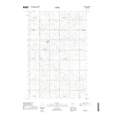
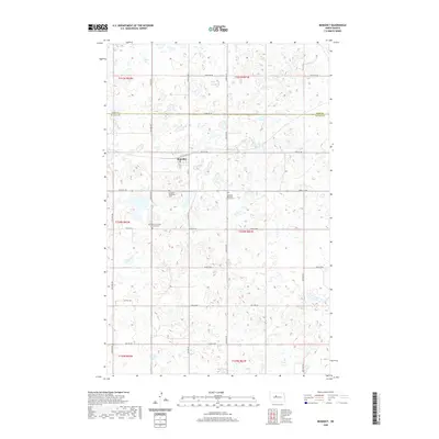
(10)- 1929 Map of Benedict
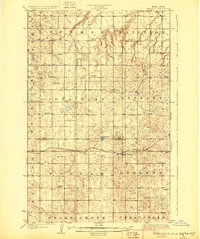 1929 Benedict1929 Print · USGSThe North Dakota prairie near the McLean and Ward county line is captured here in the late twenties, centered on the rail-stop of Benedict. Researchers can locate numerous early schoolhouses and trace the path of the Minneapolis St Paul and Sault Ste Marie through Poplar and Greeley.3 unique versions available
 - 1954 Map of McClusky, 1968 Print
 1954 McClusky1968 Print · USGSCentral North Dakota was undergoing a profound transformation in the fifties as the newly formed Lake Sakakawea reshaped the Missouri River valley. Genealogists and historians can trace rail-town development along the Soo Line and locate historic markers like Garrison Dam or the Lewis and Clark Trail.3 unique versions available
 - 1958 Map of McClusky
 1958 McClusky1958 Print · USGSCentral North Dakota was undergoing a profound change in the late fifties as the Garrison Reservoir filled behind its massive new dam. Trace the early layout of Riverdale, the Lewis and Clark Trail, and the vanishing rail stops of the Northern Pacific.
 - 1974 Map of Benedict SE, 1975 Print
 1974 Benedict SE1975 Print · USGSMcLean County is captured in the mid-1970s through this aerial-survey orthophotomap, documenting the agricultural grain of the North Dakota prairie. Local researchers and genealogists can trace property boundaries and farmstead locations surrounding the village of Benedict.
 - 1981 Map of Benedict
 1981 Benedict1981 Print · USGSThe prairie landscape of McLean and Ward counties in the early eighties is defined by the Soo Line and small agricultural centers. Genealogists and local historians can trace the foundations of Benedict, Berg, and the Concordia Cem across this detailed terrain.
 - 2011 Map of Benedict, 2011 Print
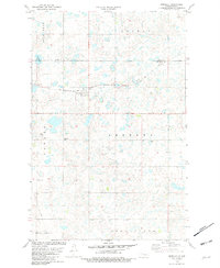
 2011 Benedict2011 Print · USGSCovers Benedict, including Ward County, McLean County, and other nearby areas
 - 2014 Map of Benedict, 2014 Print
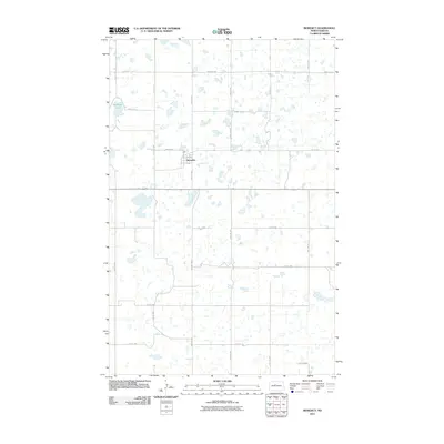
 2014 Benedict2014 Print · USGSCovers Benedict, including Ward County, McLean County, and other nearby areas
 - 2017 Map of Benedict, 2017 Print
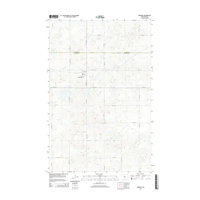
 2017 Benedict2017 Print · USGSCovers Benedict, including Ward County, McLean County, and other nearby areas
 - 2020 Map of Benedict, 2020 Print
 2020 Benedict2020 Print · USGSCovers Benedict, including Ward County, McLean County, and other nearby areas
 - 2024 Map of Benedict, 2024 Print
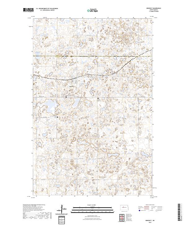 2024 Benedict2024 Print · USGSThe northern plains near the border of Ward and McLean counties are documented here in their modern form. Genealogists and local historians can trace family ties at the Benedict Methodist Cem, Benedict Bethania Lutheran Cem, or near McMann Lake.
End of results
Showing maps 1-10 of 10
Top cities near Benedict
Frequently asked questions
- What are the different types of historical maps available for Benedict?
- What is the oldest map of Benedict?
- Where can I purchase historical maps of Benedict for my home or office?
- Where can I download high-res historical maps of Benedict?
- Are there historical topographic maps available for Benedict?
- Is there historical aerial imagery available for Benedict?
- Where are historical maps of Benedict sourced from?