Old Maps of Beulah, North Dakota for Hiking & Exploration
Hike through history with 20 historic maps of Beulah. Explore old trails, ghost towns, and forgotten backroads — perfect for outdoor adventurers and local explorers.
- Rediscover forgotten places: Map out old mining camps, roads, and footpaths that no longer exist on modern maps.
- Layer with modern tools: Combine with LiDAR or satellite views to plan hikes through historical terrain.
- Made for exploration: Popular among hikers, overlanders, and local history lovers.
Use these maps to find adventure and explore the hidden past of Beulah.
Beulah, ND maps
(20)- 1954 Map of McClusky, 1968 Print
 1954 McClusky1968 Print · USGSCentral North Dakota was undergoing a profound transformation in the fifties as the newly formed Lake Sakakawea reshaped the Missouri River valley. Genealogists and historians can trace rail-town development along the Soo Line and locate historic markers like Garrison Dam or the Lewis and Clark Trail.3 unique versions available
 - 1958 Map of McClusky
 1958 McClusky1958 Print · USGSCentral North Dakota was undergoing a profound change in the late fifties as the Garrison Reservoir filled behind its massive new dam. Trace the early layout of Riverdale, the Lewis and Clark Trail, and the vanishing rail stops of the Northern Pacific.
 - 1968 Map of Beulah, 1969 Print
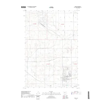
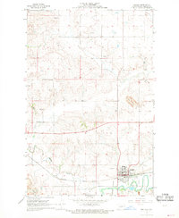 1968 Beulah1969 Print · USGSIn the late 1960s, Beulah was a growing industrial hub along the Knife River valley. Genealogists and historians can trace the town's footprint, from the Northern Pacific rails to family burial sites like Boeckel Cem and Sarah Cem.2 unique versions available
 - 1968 Map of Medicine Butte NE, 1969 Print
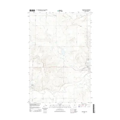
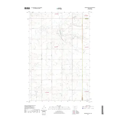
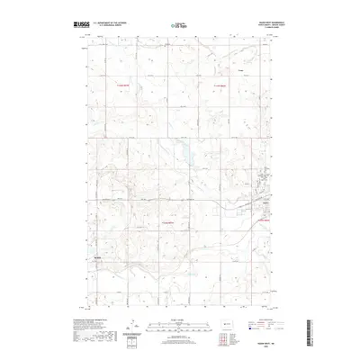
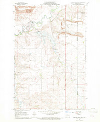 1968 Medicine Butte NE1969 Print · USGSNorth Dakota's energy and water infrastructure take center stage in the 1960s as mining and rail expand across the Mercer and Oliver county line. Trace local history at Rose Hill Cem, the massive Strip Mine works, and the site of the Proposed Beulah Dam.2 unique versions available
 - 1968 Map of Hazen West, 1969 Print
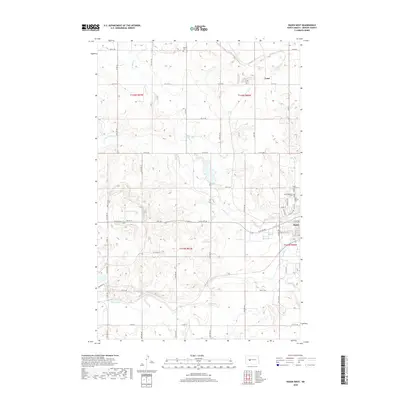
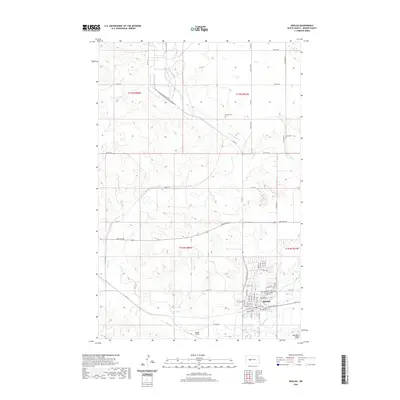
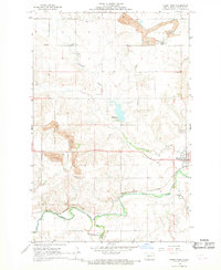 1968 Hazen West1969 Print · USGSMercer County at the close of the 1960s shows a landscape transformed by coal mining and heavy rail transport along the Knife River. Researchers can trace old family sites and industrial history through locations like Truax, Strip Mine works, and St Martins Cem.2 unique versions available
 - 2011 Map of Beulah, 2011 Print
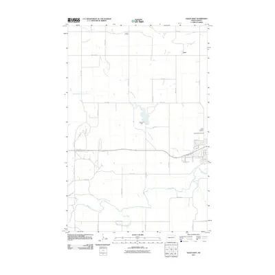
 2011 Beulah2011 Print · USGSCovers Beulah, including Mercer County, United States, and other nearby areas
 - 2011 Map of Hazen West, 2011 Print
 2011 Hazen West2011 Print · USGSCovers Beulah, including Hazen, Truax, and other nearby areas
 - 2011 Map of Medicine Butte NE, 2011 Print
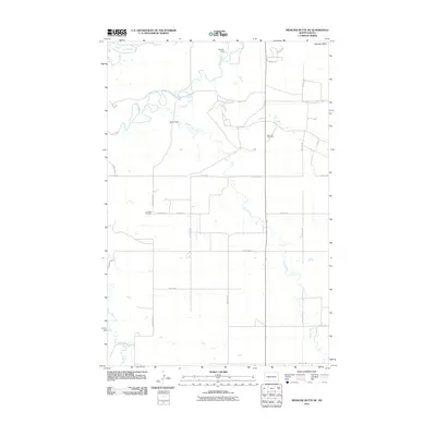 2011 Medicine Butte NE2011 Print · USGSCovers Beulah, including Mercer County, Oliver County, and other nearby areas
 - 2014 Map of Beulah, 2014 Print
 2014 Beulah2014 Print · USGSCovers Beulah, including Mercer County, United States, and other nearby areas
 - 2014 Map of Medicine Butte NE, 2014 Print
 2014 Medicine Butte NE2014 Print · USGSCovers Beulah, including Mercer County, Oliver County, and other nearby areas
 - 2014 Map of Hazen West, 2014 Print
 2014 Hazen West2014 Print · USGSCovers Beulah, including Hazen, Truax, and other nearby areas
 - 2017 Map of Medicine Butte NE, 2017 Print
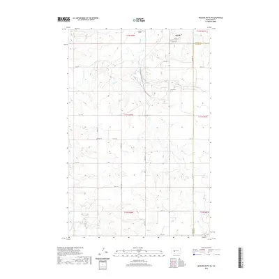
 2017 Medicine Butte NE2017 Print · USGSCovers Beulah, including Mercer County, Oliver County, and other nearby areas
 - 2018 Map of Hazen West, 2018 Print
 2018 Hazen West2018 Print · USGSCovers Beulah, including Hazen, Truax, and other nearby areas
 - 2018 Map of Beulah, 2018 Print
 2018 Beulah2018 Print · USGSCovers Beulah, including Mercer County, United States, and other nearby areas
 - 2020 Map of Beulah, 2020 Print
 2020 Beulah2020 Print · USGSCovers Beulah, including Mercer County, United States, and other nearby areas
 - 2020 Map of Hazen West, 2020 Print
 2020 Hazen West2020 Print · USGSCovers Beulah, including Hazen, Truax, and other nearby areas
 - 2020 Map of Medicine Butte NE, 2020 Print
 2020 Medicine Butte NE2020 Print · USGSCovers Beulah, including Mercer County, Oliver County, and other nearby areas
 - 2024 Map of Beulah, 2024 Print
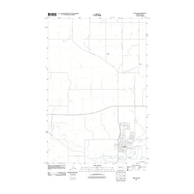
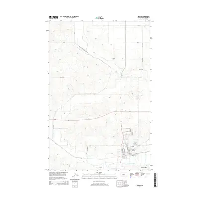
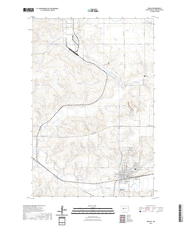 2024 Beulah2024 Print · USGSIn the heart of Mercer County, the town of Beulah sits at the confluence of Spring Creek and the Knife River. Genealogists and local historians can trace family roots through several local landmarks including the Beulah City Cem and Boeckel Cem.
 - 2024 Map of Hazen West, 2024 Print
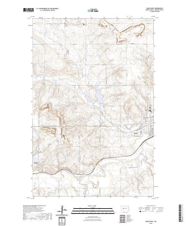 2024 Hazen West2024 Print · USGSMercer County's coal country comes into focus in this contemporary survey of the prairie landscape between Beulah and Hazen. Researchers can trace local heritage through sites like Saint Martins Cem, Wolfe Cem, and the path of the Knife River.
 - 2024 Map of Medicine Butte NE, 2024 Print
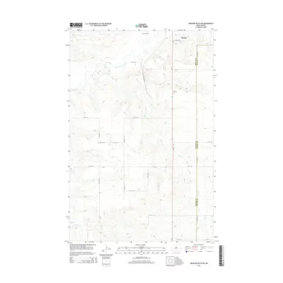
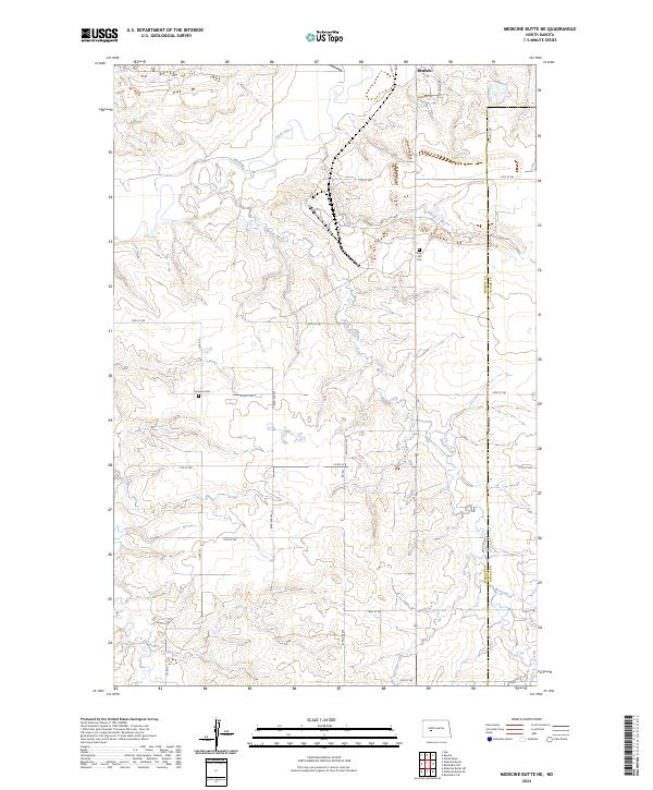 2024 Medicine Butte NE2024 Print · USGSMercer and Oliver counties are shown during the mid-2020s, featuring the rural lands south of the Knife River. Researchers can trace local history at Emmaus Cem and Rose Hill Cem or follow the winding course of Brush Creek.
End of results
Showing maps 1-20 of 20
Top cities near Beulah
Frequently asked questions
- What are the different types of historical maps available for Beulah?
- What is the oldest map of Beulah?
- Where can I purchase historical maps of Beulah for my home or office?
- Where can I download high-res historical maps of Beulah?
- Are there historical topographic maps available for Beulah?
- Is there historical aerial imagery available for Beulah?
- Where are historical maps of Beulah sourced from?