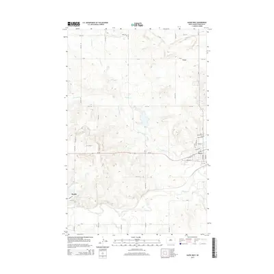
2014 Map of Hazen West
USGS Topo · Published 2014About this map
The Knife River flows across the southern reaches of this Mercer County landscape, serving as a primary drainage for the surrounding prairie. Between the growing communities of Beulah and Hazen, the terrain is defined by the winding course of Antelope Cr and its various branches, including the W Br Antelope Cr. This area of North Dakota maintains its rural character even as the transportation corridor of ND-200 connects the regional hubs. Genealogists will find significant local history at the Wolfe Cem in the north and the cluster of sites near the eastern border, including Saint Martins Cem and Saint Mathews Cem. The small settlement of Truax sits along the northern section of CR-27, illustrating the distributed nature of early homesteads and communities in this part of the Great Plains.
Find a feature on this map
26 named features on this map. Tap any name to fly to it.
Don’t see what you’re looking for? This feature index may not catch every label — zoom into the map to look around manually.
Map Details
Editions of this 2014 Hazen West Map
This is the sole edition of this map. No revisions or reprints were ever made.
Other maps of this area

1954 · McClusky
USGS Topo · 1:250,000

1958 · McClusky
USGS Topo · 1:250,000

1968 · Red Butte
USGS Topo · 1:24,000

1968 · Beulah
USGS Topo · 1:24,000

1968 · Medicine Butte NE
USGS Topo · 1:24,000

1968 · Red Butte NW
USGS Topo · 1:24,000

1968 · Hazen West
USGS Topo · 1:24,000

1968 · Hazen East
USGS Topo · 1:24,000

1969 · Hazen NE
USGS Topo · 1:24,000

1969 · Beulah NE
USGS Topo · 1:24,000