
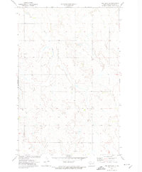
1968 Map of Red Butte
USGS Topo · Published 1969About this map
Red Butte dominates this prairie landscape along the border of Mercer Co and Oliver Co, where the high ground falls away into the winding drainage of Brady Creek. In the late 1960s, this area remained largely defined by traditional township sections and rural land use, marked by a quiet network of family and community landmarks. Researchers will find several burial grounds including Nisbet Cem, Red Butte Cem, and Spring Brook Cem, which serve as vital anchors for local genealogy in this sparsely populated stretch of North Dakota. Modern infrastructure is represented by a prominent Pipeline cutting diagonally across the southern sections toward Otter Cr, while a lone Gravel Pit in the north suggests the small-scale industrial activity of the period.
Find a feature on this map
9 named features on this map. Tap any name to fly to it.
Don’t see what you’re looking for? This feature index may not catch every label — zoom into the map to look around manually.
Map Details
Editions of this 1968 Red Butte Map
This is the sole edition of this map. No revisions or reprints were ever made.
Other maps of this area

1948 · Stanton
USGS Topo · 1:62,500

1949 · Stanton
USGS Topo · 1:62,500

1954 · McClusky
USGS Topo · 1:250,000

1958 · McClusky
USGS Topo · 1:250,000

1968 · Red Butte NW
USGS Topo · 1:24,000

1968 · Hazen West
USGS Topo · 1:24,000

1968 · Stanton
USGS Topo · 1:24,000

1968 · Hannover NW
USGS Topo · 1:24,000

1968 · Hazen East
USGS Topo · 1:24,000
1972 · Red Butte SW
USGS Topo · 1:24,000