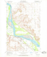
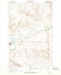
1968 Map of Stanton
USGS Topo · Published 1969About this map
The confluence of the Missouri River and the meandering Knife River anchors this landscape near Stanton, the seat of Mercer County. Surveyed in the late 1960s, the map reveals a community deeply tied to its water and rail connections. The Northern Pacific railroad line follows the contours of the terrain, passing through the town and northward toward industrial Gravel Pits along the riverbanks. Beyond the river bottoms, the topography rises into upland prairie drained by numerous tributaries, including Elm Creek and Raymond Creek. Local history is preserved in sites like Zion Cem to the north and Stanton Cem near the town center, while modern infrastructure is represented by a prominent Radio Tower and the small Arrowhead Dam reservoir in the southwestern corner.
Find a feature on this map
16 named features on this map. Tap any name to fly to it.
Don’t see what you’re looking for? This feature index may not catch every label — zoom into the map to look around manually.
Map Details
Editions of this 1968 Stanton Map
2 editions found
Other maps of this area
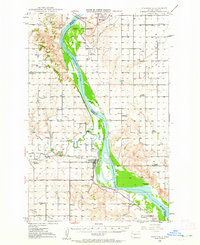
1948 · Stanton
USGS Topo · 1:62,500
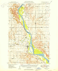
1949 · Stanton
USGS Topo · 1:62,500

1954 · McClusky
USGS Topo · 1:250,000

1958 · McClusky
USGS Topo · 1:250,000
1967 · Stanton SE
USGS Topo · 1:24,000
1968 · Hannover NE
USGS Topo · 1:24,000
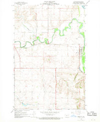
1968 · Red Butte
USGS Topo · 1:24,000
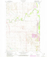
1968 · Hannover NW
USGS Topo · 1:24,000
1968 · Hazen East
USGS Topo · 1:24,000
1969 · Hazen NE
USGS Topo · 1:24,000