2010s Maps of Morton County, North Dakota
Explore 153 historic maps of Morton County from the 2010s. These maps offer a rare glimpse into what life looked like during the 2010s — showing old roads, neighborhoods, homes, and landmarks that have changed or disappeared over time.
Whether you're researching your family's past, planning a metal detecting trip, or studying how Morton County's landscape evolved across the 2010s, these high-resolution maps are a powerful tool for exploring the history of this region.
- Focus on a specific era: All maps on this page are from the 2010s, giving you a focused view of this time period.
- See what’s changed: Compare century-old streets, trails, and buildings to today's modern landscape using overlays and satellite layers.
- Research with precision: Use these maps for genealogy, historical research, land use analysis, or educational projects.
- View, download, or print: Maps are fully viewable online in high resolution, and can be downloaded or printed for your own records.
Start exploring Morton County's history through authentic maps from the 2010s. This is your window into the past.
Morton County, ND maps
(153)- 2011 Map of Clark Butte NE, 2011 Print
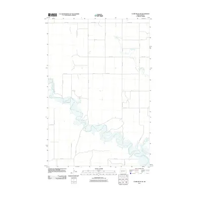 2011 Clark Butte NE2011 Print · USGSStark County's open prairie and river valleys are captured here in the early twenty-first century as agricultural life continues along the water. Genealogists and land researchers can trace property boundaries and rural access roads near the Heart River, Peters Creek, and Beaver Creek.
 - 2011 Map of Hebron, 2011 Print
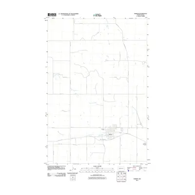 2011 Hebron2011 Print · USGSHebron and the surrounding Morton County prairie are captured here during the early twenty-first century. Researchers can trace local lineage at Saint John Cemetery or follow the meandering course of the Branch Knife River as it winds past Hebron and the Hebron Municipal Airport.
 - 2011 Map of Hebron SE, 2011 Print
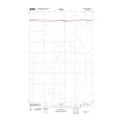 2011 Hebron SE2011 Print · USGSStark County as it appeared in the early 2010s shows a landscape of expansive agriculture defined by the interstate corridor and prairie waterways. Family researchers can trace the rural road network from 79th Ave SW to 74th Ave as it crosses Beaver Creek.
 - 2011 Map of Mandan, 2011 Print
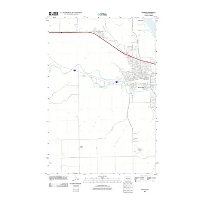 2011 Mandan2011 Print · USGSMandan and its riverfront neighborhoods are shown here in the early twenty-first century as the city expanded westward. Researchers can trace development from the Missouri River banks to the Custer Flats and find the location of Sunny and Meadow Park.
 - 2011 Map of Sugarloaf Butte, 2011 Print
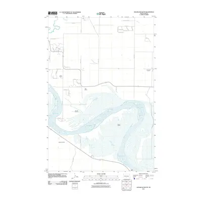 2011 Sugarloaf Butte2011 Print · USGSThe Missouri River lowlands of Burleigh County are captured here in the early twenty-first century, showing the intricate channels of Kenel Flats. Researchers can trace local landmarks like Sugarloaf Butte, Stewartsdale Cemetery, and the settlement of Huff.
 - 2011 Map of Huff, 2011 Print
 2011 Huff2011 Print · USGSMorton County in the early twenty-first century reveals a landscape where the Missouri River meets the high prairie bluffs near Huff. Researchers can locate family landmarks like Park Cemetery or trace the geography around Ambulance Butte and Signal Butte.
 - 2011 Map of Saint Anthony, 2011 Print
 2011 Saint Anthony2011 Print · USGSSaint Anthony and the surrounding Morton County prairie are captured here during the early twenty-first century. Researchers can trace the section-line roads and the wandering courses of the South Branch Little Heart River and Southeast Branch Little Heart River.
 - 2011 Map of Solen SW, 2011 Print
 2011 Solen SW2011 Print · USGSSioux County's rural landscape is captured here in the early twenty-first century, centered on the winding path of the Cannonball River. Researchers can locate family sites and local landmarks such as Fairview Cemetery, Saint Gabriel Cemetery, and Dogtooth Creek.
 - 2011 Map of Cannon Ball NW, 2011 Print
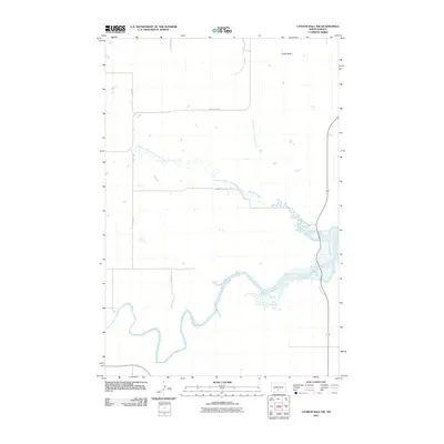 2011 Cannon Ball NW2011 Print · USGSThe Sioux County plains in the early 21st century are defined by the winding Cannonball River and the high point of Castle Butte. Trace the remote rural road network along County Rd-80 and the various branches of Cantapeta Creek.
 - 2011 Map of Harmon, 2011 Print
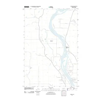 2011 Harmon2011 Print · USGSThe Missouri River corridor north of Bismarck is captured here in the early twenty-first century, featuring both ancient sites and modern ranching. Researchers can trace the grounds of Double Ditch Indian Village or locate the Wachter Ranch Private Landing Strip and the settlement of Harmon.
 - 2011 Map of Schmidt, 2011 Print
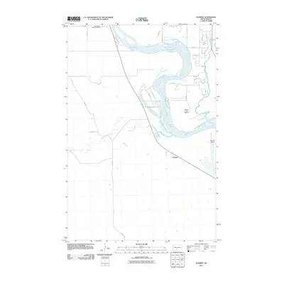 2011 Schmidt2011 Print · USGSThe Missouri River bottoms south of Bismarck are captured here just over a decade ago, showcasing the rural landscapes of Morton County. Researchers can locate the North Dakota Veterans Cemetery and trace the winding paths of Apple Creek and the Little Heart River.
 - 2011 Map of Bismarck, 2011 Print
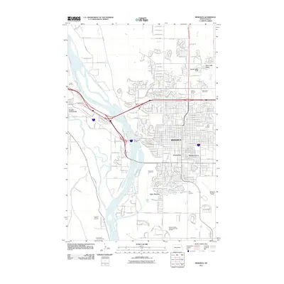 2011 Bismarck2011 Print · USGSBismarck and the Missouri River valley are captured here in the early twenty-first century, showing the capital's expansion and its deep ties to the river. Genealogists can locate several major burial grounds, including Saint Marys Cemetery, Union Cemetery, and the Fort Lincoln Cemetery.
 - 2011 Map of Solen, 2011 Print
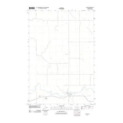 2011 Solen2011 Print · USGSThe town of Solen and the Cannonball River valley are captured here in the early twenty-first century. Researchers can locate the Red Cedar Cemetery and trace the rural road network including County Hwy 81 and W Broadway St.
 - 2011 Map of The Hogback, 2011 Print
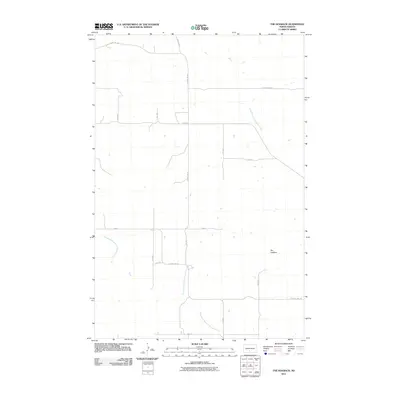 2011 The Hogback2011 Print · USGSMorton County in the early 2000s is captured here through its grid of rural roads and prairie drainage systems. Researchers can trace the namesake ridge of The Hogback and locate the headwaters of the Northwest Branch Cantapeta Creek and Southeast Branch Little Heart River.
 - 2011 Map of Breien, 2011 Print
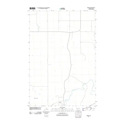 2011 Breien2011 Print · USGSThe Cannonball River valley in Sioux County comes into focus in this early twenty-first-century survey. Trace the rural landscape around Breien, following the winding path of Dogtooth Creek or locating the distinct rise of War Dance Hill.
 - 2011 Map of Fort Rice, 2011 Print
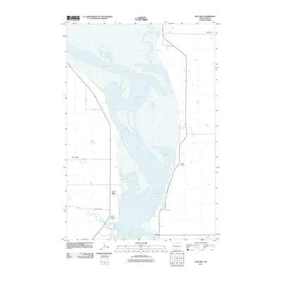 2011 Fort Rice2011 Print · USGSThe Missouri River valley near the historic military site of Fort Rice is captured here in the early twenty-first century. Genealogists can locate family names at the Fort Rice Cemetery or trace the river's path past Livona and the broad Kenel Flats.
 - 2011 Map of Cannon Ball, 2011 Print
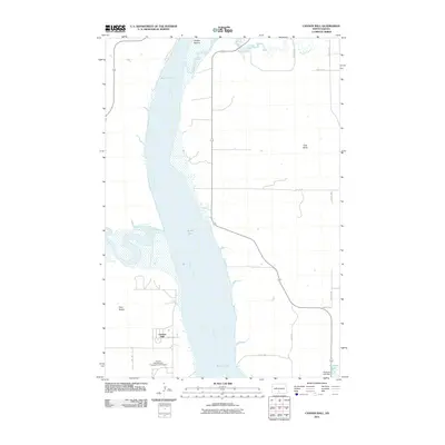 2011 Cannon Ball2011 Print · USGSThe Missouri River and Cannonball River confluence defines this Sioux County landscape in the early 2000s. Genealogists and local historians can trace the community layout of Cannon Ball, from the Badger School to the Cannon Ball Memorial Congregational Cemetery.
 - 2011 Map of Glen Ullin SW, 2011 Print
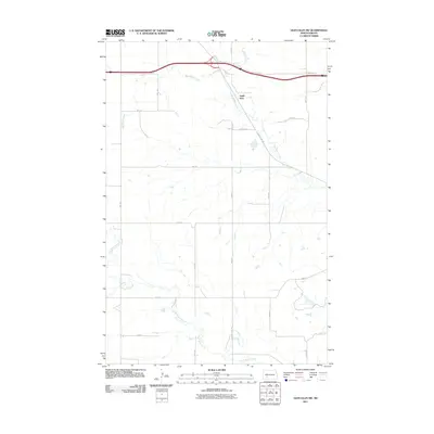 2011 Glen Ullin SW2011 Print · USGSThis part of North Dakota's prairie landscape was surveyed in the early twenty-first century as the regional road network matured. Genealogists and researchers can trace the paths of Big Muddy Creek and Heart Butte Creek near the settlement of Eagle Nest.
 - 2011 Map of Crown Butte, 2011 Print
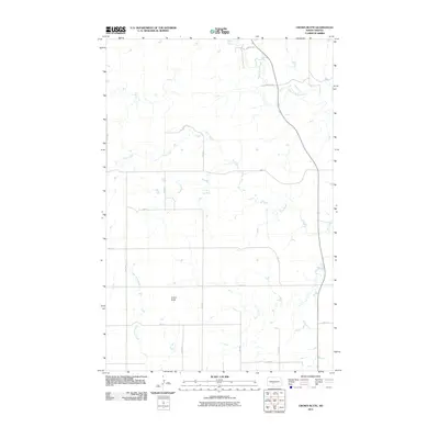 2011 Crown Butte2011 Print · USGSMorton County territory is shown here in the early twenty-first century, defined by its high plateaus and creek valleys. Genealogists and land researchers can trace the rural road grid around the prominent Crown Butte and the winding course of Square Butte Creek.
 - 2011 Map of Green Ridge, 2011 Print
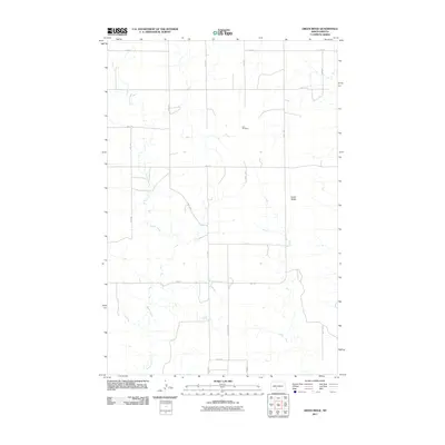 2011 Green Ridge2011 Print · USGSMorton County remains a landscape of deep-rooted agriculture and prairie terrain in the early twenty-first century. Genealogists and local historians can trace legacy land divisions along County Rd 84 and locate the historic Zion Cemetery near Green Ridge.
 - 2011 Map of Raleigh, 2011 Print
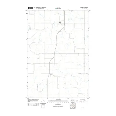 2011 Raleigh2011 Print · USGSGrant County agricultural life is captured here in the early twenty-first century, centered on the small rural communities of the Missouri Plateau. Genealogists and local historians can trace family land proximity to Raleigh, the settlement at Saint Gertrude, or the banks of Dogtooth Creek.
 - 2011 Map of Fish Creek Lake, 2011 Print
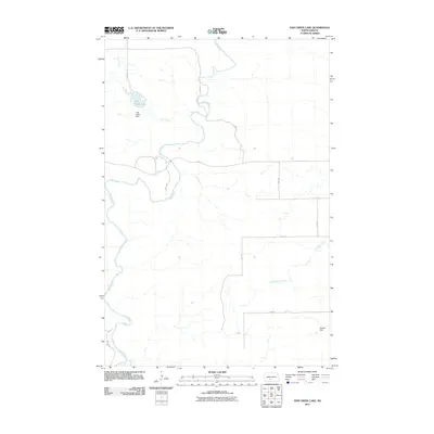 2011 Fish Creek Lake2011 Print · USGSMorton County at the start of the 2010s reveals a prairie landscape defined by significant water management and a strict grid of rural section roads. Genealogists and local historians can trace the course of the Heart River and locate landmarks like Fish Creek Dam or Dawson Dam.
 - 2011 Map of Sweet Briar, 2011 Print
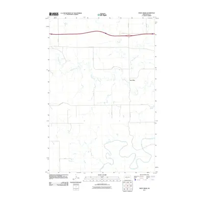 2011 Sweet Briar2011 Print · USGSMorton County at the beginning of the 2010s shows a landscape of river bends and rural road networks west of the Missouri River. Researchers can trace the exact course of the Heart River or the small community of Sweet Briar near the path of Sweetbriar Creek.
 - 2011 Map of Otter Creek East, 2011 Print
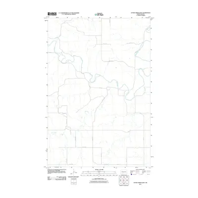 2011 Otter Creek East2011 Print · USGSMorton County at the start of the 2010s shows a landscape shaped by the winding Heart River and wide-open prairie. Researchers can trace the drainage patterns of Otter Creek and Beaver Creek among the rural section roads.
 - 2011 Map of New Salem NW, 2011 Print
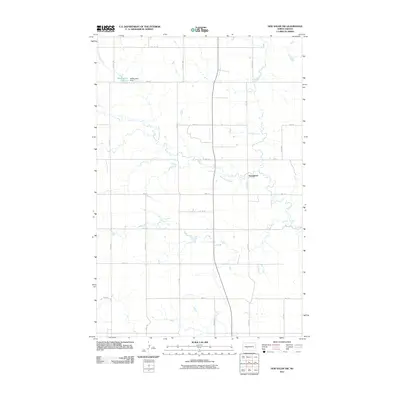 2011 New Salem NW2011 Print · USGSMorton County is shown here in the early twenty-first century, characterized by its deep-rooted agricultural grid and winding waterways. Genealogists and local historians can trace family land ties near Youngtown or the shoreline of Mosbrucker Lake.
Showing maps 1-25 of 153
Top cities of Morton County
- Mandan historical maps
- New Salem historical maps
- Glen Ullin historical maps
- Hebron historical maps
- Flasher historical maps
- Almont historical maps
Frequently asked questions
- What are the different types of historical maps available for Morton County?
- What is the oldest map of Morton County?
- Where can I purchase historical maps of Morton County for my home or office?
- Where can I download high-res historical maps of Morton County?
- Are there historical topographic maps available for Morton County?
- Is there historical aerial imagery available for Morton County?
- Where are historical maps of Morton County sourced from?