Old Maps of Bathgate, North Dakota for Genealogy
Trace your family roots with 12 historic maps of Bathgate. These high-res maps reveal old neighborhoods, homesites, landmarks, and streets — helping you uncover where your ancestors lived and how the area evolved over time.
- Explore historic neighborhoods: Identify where your relatives may have lived in the 1800s or 1900s.
- Compare maps over time: Trace the changes in streets, buildings, and landmarks for multi-generational research.
- Perfect for genealogy & ancestry research: Used by family historians and researchers to map out lineage and migration.
These maps are an incredible resource for exploring your personal connection to Bathgate's past.
Bathgate, ND maps
(12)- 1941 Map of Bathgate
 1941 Bathgate1941 Print · USGSNortheastern North Dakota's borderlands are captured here in the late 1930s, showing a landscape defined by meandering rivers and a dense network of rural schoolhouses. Genealogists can locate family-named landmarks like Geroux Bridge Sch, Murphy Sch, and the Bathgate Cem.
 - 1952 Map of Thief River Falls, 1967 Print
 1952 Thief River Falls1967 Print · USGSThe Red River Valley's agricultural and conservation landscape is captured in the mid-1950s, detailing a web of rail lines and international border crossings. Researchers can trace family roots in towns like Thief River Falls, locate the State School for Blind, and survey landmarks like the Agassiz National Wildlife Refuge.2 unique versions available
 - 1956 Map of Thief River Falls
 1956 Thief River Falls1956 Print · USGSThe Red River Valley in the mid-1950s is captured here as a sprawling network of rail corridors and wildlife refuges along the Canadian border. Trace the vanished transport routes of the Dismantled railroad and Abandoned railroad or locate local landmarks like the Herrick Elevator and State School for Blind.
 - 1957 Map of Thief River Falls
 1957 Thief River Falls1957 Print · USGSThe Red River Valley in the mid-fifties is captured here as a thriving network of rail towns and conservation lands. Genealogists and historians can trace family roots through settlements like Grafton, Pembina, and Hallock, or locate landmarks such as the State School for Blind and the Great Northern RR corridor.
 - 1967 Map of Thief River Falls
 1967 Thief River Falls1967 Print · USGSThe Red River Valley and the international border come alive in the 1960s, showing a landscape shaped by major rail lines and river commerce. Genealogists and historians can trace the paths of the Great Northern and Soo Line through towns like Thief River Falls, Grafton, and Hallock.
 - 1971 Map of Bathgate, 1973 Print
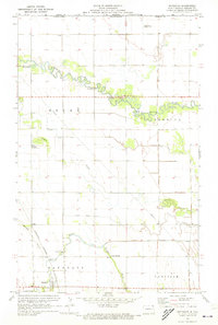 1971 Bathgate1973 Print · USGSPembina County sits along the international boundary in the early 1970s, where the river meanders define the agricultural plains. Genealogists and local historians can trace family-named crossings like Morris Bridge and Kain Bridge or locate the St Anthonys Cem near Bathgate.
 - 1985 Map of Cavalier
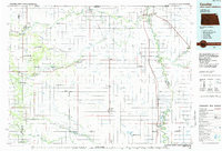 1985 Cavalier1985 Print · USGSThe Red River Valley and the international border meet in this mid-1980s look at the drainage and rail networks of Northeast North Dakota. Trace the paths of the Burlington Northern and Soo Line through border towns like Neche, Pembina, and Noyes.2 unique versions available
 - 2011 Map of Bathgate, 2011 Print
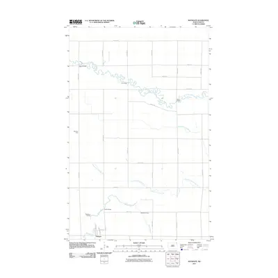 2011 Bathgate2011 Print · USGSThe northern Red River Valley landscape near Bathgate is captured here during the early twenty-first century. Genealogists and local historians can trace family-named crossings such as Kain Bridge and Meagher Bridge or locate the airfield at Bonaime Field.
 - 2014 Map of Bathgate, 2014 Print
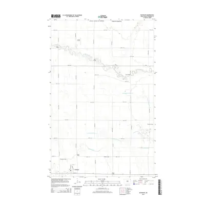 2014 Bathgate2014 Print · USGSBathgate and the surrounding Pembina County farmlands are shown here in the mid-2010s, where the winding Pembina River meets a modern grid of county roads. Genealogists and local historians can trace named crossings like Kain Bridge and Austin Bridge or locate the Horsley Airstrip north of town.
 - 2017 Map of Bathgate, 2017 Print
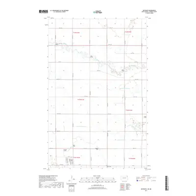 2017 Bathgate2017 Print · USGSPembina County at the northern edge of North Dakota is captured here in a moment of continued agricultural tradition and river-valley life. Genealogists and local historians can trace specific landmarks such as Bathgate, Rosebud Coulee, and the many named crossings like Kain Bridge.
 - 2020 Map of Bathgate, 2020 Print
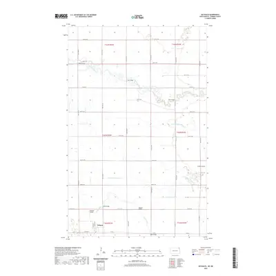 2020 Bathgate2020 Print · USGSPembina County at the start of the 2020s shows a landscape of deep-rooted agriculture and prairie hydrology. Genealogists and local historians can trace family land near Bathgate or locate specific river crossings like Morris Bridge, Austin Bridge, and Seblin Bridge.
 - 2024 Map of Bathgate, 2024 Print
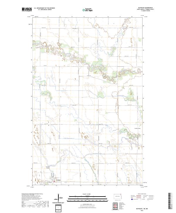 2024 Bathgate2024 Print · USGSThe settlement of Bathgate and the surrounding Red River Valley plains are documented here in the early twenty-first century. Researchers can trace the intersections of river and rail-era grids, from Rosebud Coulee to the managed waters of the Tongue River Cutoff.
End of results
Showing maps 1-12 of 12
Top cities near Bathgate
Frequently asked questions
- What are the different types of historical maps available for Bathgate?
- What is the oldest map of Bathgate?
- Where can I purchase historical maps of Bathgate for my home or office?
- Where can I download high-res historical maps of Bathgate?
- Are there historical topographic maps available for Bathgate?
- Is there historical aerial imagery available for Bathgate?
- Where are historical maps of Bathgate sourced from?