Old Maps of Greene Township, North Dakota for Academic Research
Study the evolution of Greene Township with 32 high-resolution historic maps. Whether you're teaching, researching, or modeling changes in land use, these maps provide essential visual documentation of urban, environmental, and geographic change.
- Analyze long-term change: Track patterns in development, transportation, and natural features.
- Ideal for environmental or urban studies: Support academic projects with primary historical map data.
- Use in the classroom or lab: Educators and researchers rely on these maps to bring historical context to life.
These maps are a powerful tool for teaching, research, and visualizing how Greene Township has changed over the decades.
Greene Township, ND maps
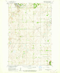
(32)- 1895 Map of Casselton, 1961 Print
 1895 Casselton1961 Print · USGSNorth Dakota's Red River Valley rail network is in full bloom in the 1890s, with towns emerging at every major junction. Trace early post offices and depots at Chaffee P.O., Embden, and Ripon along the Northern Pacific R. R.
 - 1897 Map of Tower
 1897 Tower1897 Print · USGSIn the late nineteenth century, the expansion of the northern plains centered on the intersection of the Sheyenne River and the arriving railroads. Genealogists and historians can trace early township plats and rail-stop settlements like Valley City, Fingal, and Enderlin.3 unique versions available
 - 1897 Map of Casselton
 1897 Casselton1897 Print · USGSCass County’s agricultural heartland is captured here in the 1890s, when new rail lines were defining the North Dakota prairie. Genealogists can trace family locations near early hubs like Casselton, the Chaffee P.O. settlement, and the banks of the Maple River.3 unique versions available
 - 1953 Map of Fargo, 1965 Print
 1953 Fargo1965 Print · USGSThe Red River Valley in the mid-fifties was a bustling rail and agricultural corridor during a period of steady prairie growth. Genealogists and historians can trace the intricate rail networks of the Great Northern and Soo Line connecting local hubs like Casselton and Wahpeton.2 unique versions available
 - 1956 Map of Fargo
 1956 Fargo1956 Print · USGSThe Red River Valley's agricultural heartland is documented here in the mid-fifties as the rail-and-road network expanded across the plains. Genealogists can trace family roots through numerous small railroad towns and local landmarks like Casselton, Sheyenne Valley Church, and Sisseton Indian Res.
 - 1960 Map of Enderlin South, 1962 Print
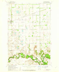
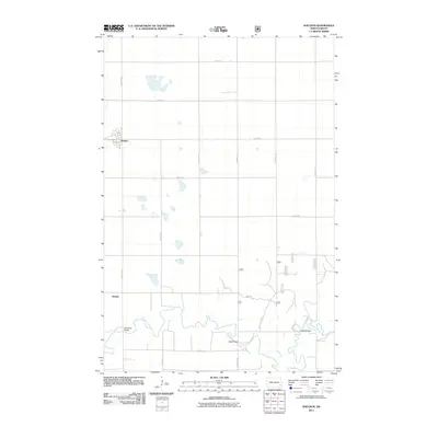
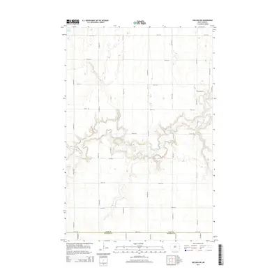
 1960 Enderlin South1962 Print · USGSRansom County's prairie landscape was shaped by the Northern Pacific railroad and the winding Maple River during the early sixties. Researchers can trace family history at numerous rural sites including St Olaf Cem, St Marys Cem, and Trinity Ch.
 - 1960 Map of Sheldon, 1962 Print
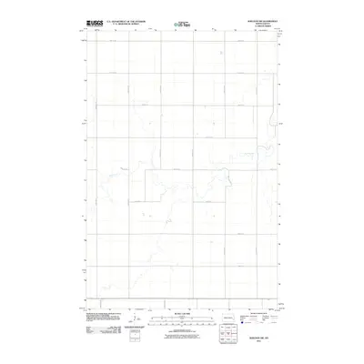
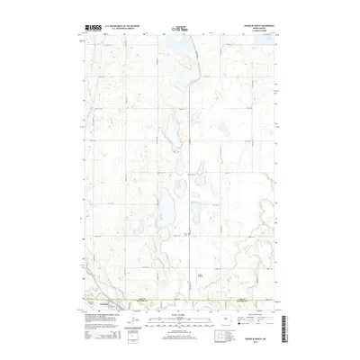
 1960 Sheldon1962 Print · USGSRansom County in the early sixties shows a landscape of steady prairie farming and river-valley transport. Genealogists and historians can trace the Northern Pacific rail line through Sheldon or locate river crossings like McClellan Bridge and Larson Bridge.
 - 1961 Map of Sheldon NW, 1963 Print
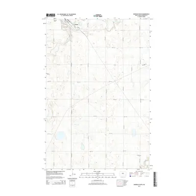
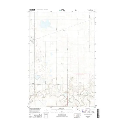
 1961 Sheldon NW1963 Print · USGSThe rural prairie of Cass County is captured here in the early 1960s as the agricultural grid defined life along the Maple River valley. Researchers can locate vanished rural landmarks such as School No 83, a local Townhall, and a mid-century Landing Strip.
 - 1961 Map of Enderlin North, 1963 Print
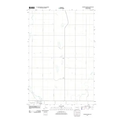
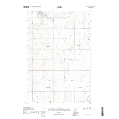
 1961 Enderlin North1963 Print · USGSThe borderlands of Cass and Ransom counties are captured here in the early sixties, centered on the growing town of Enderlin. Researchers can locate rural landmarks like Salem Cem, the NORTHERN PACIFIC rail line, and the winding course of the Maple River.
 - 1986 Map of Casselton
 1986 Casselton1986 Print · USGSEastern North Dakota in the mid-1980s was a landscape defined by the intersection of the Sheyenne River and major rail lines. Researchers can trace the development of agricultural hubs like Enderlin and Casselton or locate the Griswold Mine and Memory Gardens Cem.2 unique versions available
 - 1989 Map of Fargo, 1990 Print
 1989 Fargo1990 Print · USGSThe Red River Valley at the end of the eighties shows a landscape of flourishing university towns and vital rail corridors. Researchers can trace family roots through Riverside Cem, find early campus layouts for North Dakota State University, or follow the Soo Line Railroad through West Fargo.
 - 1998 Map of Sheldon, 2000 Print
 1998 Sheldon2000 Print · USGSSheldon and the surrounding Ransom County prairies are shown at the close of the twentieth century. Genealogists and local historians can trace the road network connecting Sheldon to the Sheyenne River and find landmarks like Legg Bridge and Anselm.
 - 2011 Map of Enderlin South, 2011 Print
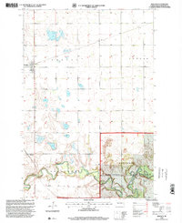
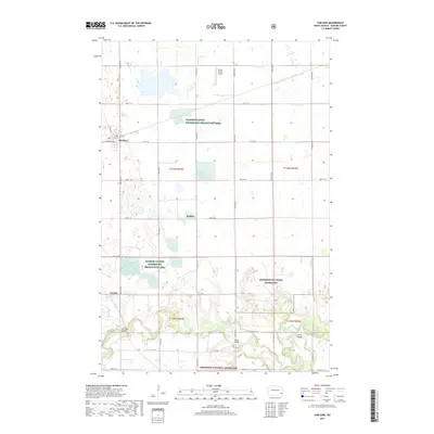
 2011 Enderlin South2011 Print · USGSCovers Greene Township, including Enderlin, Liberty Township, and other nearby areas
 - 2011 Map of Sheldon, 2011 Print
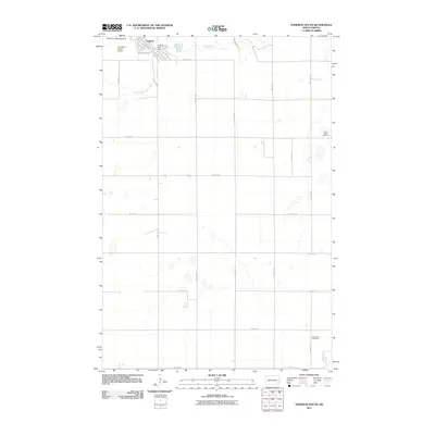
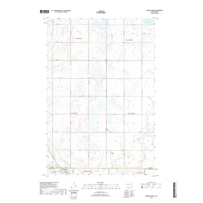
 2011 Sheldon2011 Print · USGSCovers Greene Township, including Sheldon, Coburn Township, and other nearby areas
 - 2011 Map of Sheldon NW, 2011 Print
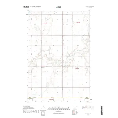
 2011 Sheldon NW2011 Print · USGSCovers Greene Township, including Coburn Township, Eldred Township, and other nearby areas
 - 2011 Map of Enderlin North, 2011 Print
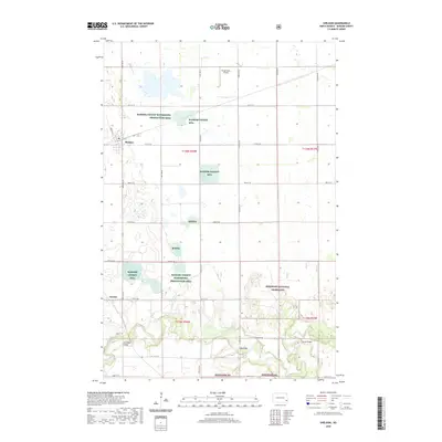
 2011 Enderlin North2011 Print · USGSCovers Greene Township, including Enderlin, Pontiac Township, and other nearby areas
 - 2014 Map of Enderlin South, 2014 Print
 2014 Enderlin South2014 Print · USGSCovers Greene Township, including Enderlin, Liberty Township, and other nearby areas
 - 2014 Map of Sheldon NW, 2014 Print
 2014 Sheldon NW2014 Print · USGSCovers Greene Township, including Coburn Township, Eldred Township, and other nearby areas
 - 2014 Map of Enderlin North, 2014 Print
 2014 Enderlin North2014 Print · USGSCovers Greene Township, including Enderlin, Pontiac Township, and other nearby areas
 - 2014 Map of Sheldon, 2014 Print
 2014 Sheldon2014 Print · USGSCovers Greene Township, including Sheldon, Coburn Township, and other nearby areas
 - 2017 Map of Enderlin South, 2017 Print
 2017 Enderlin South2017 Print · USGSCovers Greene Township, including Enderlin, Liberty Township, and other nearby areas
 - 2017 Map of Sheldon, 2017 Print
 2017 Sheldon2017 Print · USGSCovers Greene Township, including Sheldon, Coburn Township, and other nearby areas
 - 2018 Map of Enderlin North, 2018 Print
 2018 Enderlin North2018 Print · USGSCovers Greene Township, including Enderlin, Pontiac Township, and other nearby areas
 - 2018 Map of Sheldon NW, 2018 Print
 2018 Sheldon NW2018 Print · USGSCovers Greene Township, including Coburn Township, Eldred Township, and other nearby areas
 - 2020 Map of Sheldon, 2020 Print
 2020 Sheldon2020 Print · USGSCovers Greene Township, including Sheldon, Coburn Township, and other nearby areas
Showing maps 1-25 of 32
Top cities near Greene Township
- Lisbon historical maps
- Enderlin historical maps
- Leonard historical maps
- Sheldon historical maps
- Everest Township historical maps
- Coburn Township historical maps
See more
Frequently asked questions
- What are the different types of historical maps available for Greene Township?
- What is the oldest map of Greene Township?
- Where can I purchase historical maps of Greene Township for my home or office?
- Where can I download high-res historical maps of Greene Township?
- Are there historical topographic maps available for Greene Township?
- Is there historical aerial imagery available for Greene Township?
- Where are historical maps of Greene Township sourced from?