Old Maps of Chola, North Dakota for Academic Research
Study the evolution of Chola with 11 high-resolution historic maps. Whether you're teaching, researching, or modeling changes in land use, these maps provide essential visual documentation of urban, environmental, and geographic change.
- Analyze long-term change: Track patterns in development, transportation, and natural features.
- Ideal for environmental or urban studies: Support academic projects with primary historical map data.
- Use in the classroom or lab: Educators and researchers rely on these maps to bring historical context to life.
These maps are a powerful tool for teaching, research, and visualizing how Chola has changed over the decades.
Chola, ND maps
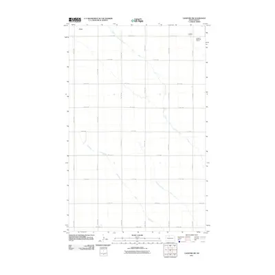
(11)- 1948 Map of Lansford, 1955 Print
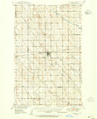 1948 Lansford1955 Print · USGSNorth Dakota's northern prairie is captured here during the post-war era, showing a landscape defined by vital rail junctions and rural schoolhouses. Researchers can trace family history through sites like Lansford, St Johns Cem, and Graham Sch.3 unique versions available
 - 1948 Map of Lansford SW, 1976 Print
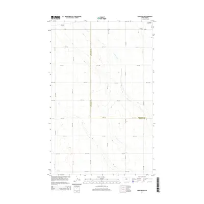
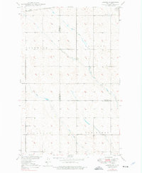 1948 Lansford SW1976 Print · USGSRenville and Bottineau counties appear here in the late 1940s, showing a prairie landscape shaped by the Soo Line and seasonal creeks. Researchers can locate the Lansford Cem and rural landmarks like Olsen School and Graham School.
 - 1949 Map of Lansford SW
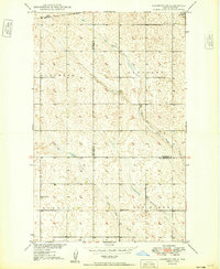 1949 Lansford SW1949 Print · USGSNorth Dakota's northern plains are captured here in the late 1940s as a landscape of structured townships and vital rail connections. Researchers can locate rural landmarks like the Olsen School and Graham School or trace the Soo Line through Lansford.
 - 1950 Map of Lansford
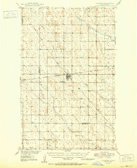 1950 Lansford1950 Print · USGSNorth Dakota's northern prairie was a bustling network of rail and rural education during the mid-century. Researchers can trace the heritage of Lansford through its numerous country schoolhouses like Graham Sch and rail-line stops such as Forfar.
 - 1954 Map of Minot, 1964 Print
 1954 Minot1964 Print · USGSNorth Dakota's northern borderlands are captured here in the mid-fifties, showing a landscape defined by the winding Souris River and the rise of the Turtle Mountains. Genealogists can locate family-named sidings like Hurd Siding and Truro Siding alongside the vital Great Northern rail lines.3 unique versions available
 - 1958 Map of Minot
 1958 Minot1958 Print · USGSNorthern North Dakota is shown here during the mid-fifties, dominated by the rail-driven growth of Minot and the surrounding grain-farming prairie. Genealogists can trace family connections to border towns like Westhope or explore the vast reaches of the Turtle Mountains.
 - 2011 Map of Lansford SW, 2011 Print
 2011 Lansford SW2011 Print · USGSCovers Chola, including Lansford, Bottineau County, and other nearby areas
 - 2014 Map of Lansford SW, 2014 Print
 2014 Lansford SW2014 Print · USGSCovers Chola, including Lansford, Bottineau County, and other nearby areas
 - 2017 Map of Lansford SW, 2017 Print
 2017 Lansford SW2017 Print · USGSCovers Chola, including Lansford, Bottineau County, and other nearby areas
 - 2020 Map of Lansford SW, 2020 Print
 2020 Lansford SW2020 Print · USGSCovers Chola, including Lansford, Bottineau County, and other nearby areas
 - 2024 Map of Lansford SW, 2024 Print
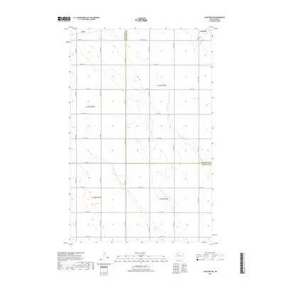
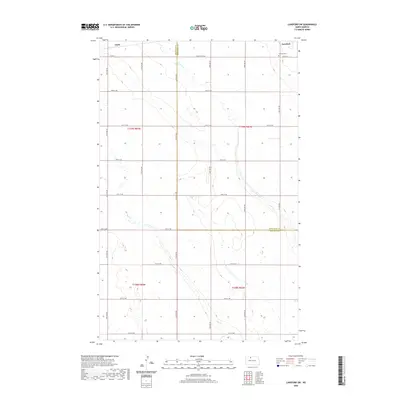
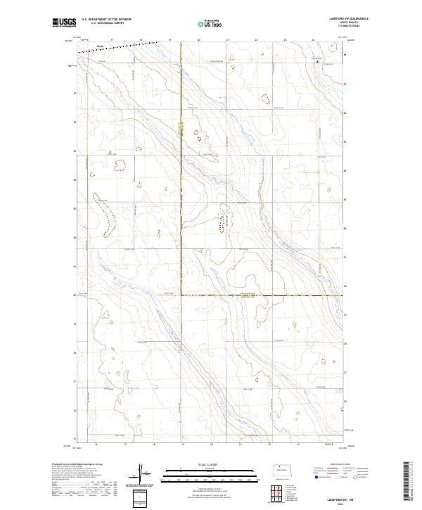 2024 Lansford SW2024 Print · USGSRenville and Bottineau counties meet in this contemporary survey of the North Dakota prairie, where the rural grid dictates the flow of life. Researchers can trace land ownership and family roots near Chola, Lansford Cem, and the banks of Egg Creek.
End of results
Showing maps 1-11 of 11
Top cities near Chola
- Mohall historical maps
- Lansford historical maps
- Carpio historical maps
- Renville historical maps
- Grano historical maps
Frequently asked questions
- What are the different types of historical maps available for Chola?
- What is the oldest map of Chola?
- Where can I purchase historical maps of Chola for my home or office?
- Where can I download high-res historical maps of Chola?
- Are there historical topographic maps available for Chola?
- Is there historical aerial imagery available for Chola?
- Where are historical maps of Chola sourced from?