Old Maps of Dexter Township, North Dakota for Metal Detecting
Plan your next treasure hunt with 29 historic maps of Dexter Township. Find old homesites, ghost towns, trails, and gathering spots that may be lost to time — perfect for identifying promising metal detecting locations.
- Locate forgotten sites: Uncover places like long-lost settlements, abandoned rail lines, or gathering spots.
- Plan better hunts: Use map overlays combined with LiDAR or satellite views to narrow in on historically rich areas.
- Made for detectorists: Thousands of hobbyists use these maps to discover relics, coins, and hidden history.
Use these historic maps to boost your research and find new opportunities beneath the surface of Dexter Township.
Dexter Township, ND maps
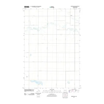
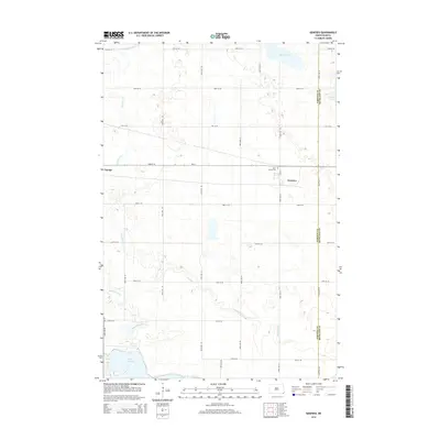
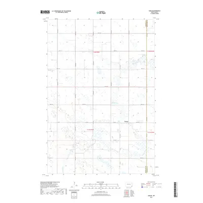
(29)- 1907 Map of Wyndmere
 1907 Wyndmere1907 Print · USGSRichland and Sargent counties are seen here in the early 1900s during the height of the prairie railroad boom. Genealogists and historians can trace the paths of five different rail lines serving early towns like Milnor, Wyndmere, and Sandoun Mc Leod P O.2 unique versions available
 - 1953 Map of Fargo, 1965 Print
 1953 Fargo1965 Print · USGSThe Red River Valley in the mid-fifties was a bustling rail and agricultural corridor during a period of steady prairie growth. Genealogists and historians can trace the intricate rail networks of the Great Northern and Soo Line connecting local hubs like Casselton and Wahpeton.2 unique versions available
 - 1956 Map of Fargo
 1956 Fargo1956 Print · USGSThe Red River Valley's agricultural heartland is documented here in the mid-fifties as the rail-and-road network expanded across the plains. Genealogists can trace family roots through numerous small railroad towns and local landmarks like Casselton, Sheyenne Valley Church, and Sisseton Indian Res.
 - 1958 Map of Hamlin, 1960 Print
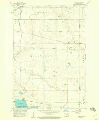
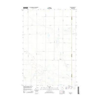
 1958 Hamlin1960 Print · USGSSargent County prairie life in the late fifties is centered on the winding Wild Rice River and the small hub of Hamlin. Local historians can trace early community structures like Immanuel Ch and several rural schoolhouses such as School No 1.2 unique versions available
 - 1958 Map of Geneseo, 1960 Print
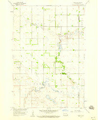
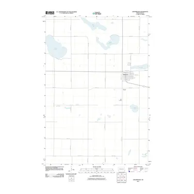
 1958 Geneseo1960 Print · USGSSargent County prairie life in the late fifties centered on the rail junction at Geneseo and the winding Wild Rice River. Genealogists and local historians can trace the Sisseton Indian Reservation Boundary and locate St Martin Cem or the rural School No 3.
 - 1964 Map of Kreiser Lake, 1965 Print
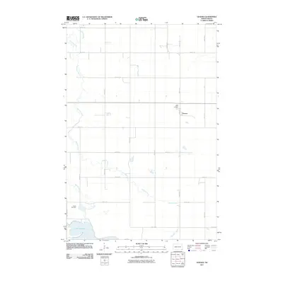
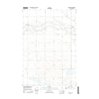
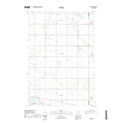
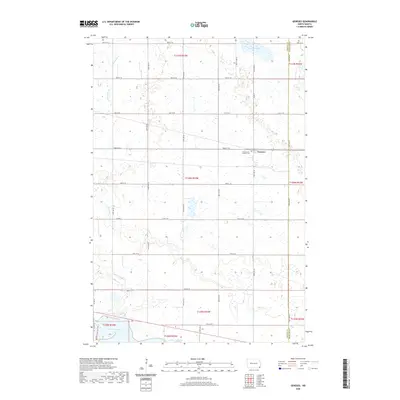
 1964 Kreiser Lake1965 Print · USGSRichland County's prairie landscape and winding waterways are captured here in the mid-1960s. Researchers can trace rural cemetery locations like Elk Creek Cem or study the hydrology of the Wild Rice River and Kreiser Lake.
 - 1964 Map of Lidgerwood, 1965 Print
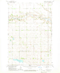
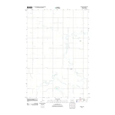
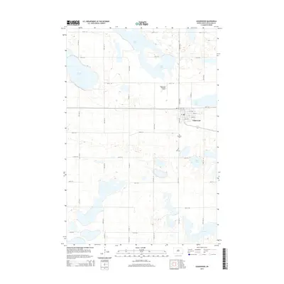
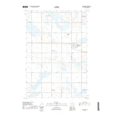
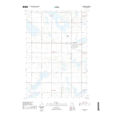
 1964 Lidgerwood1965 Print · USGSLidgerwood and the surrounding Richland County prairie are documented here in the mid-1960s at a time of transitioning rail commerce. You can trace the Great Northern Line and an Old Railroad Grade, or locate family sites near the Bohemian Cem and St Johns Cem.
 - 1986 Map of Lisbon
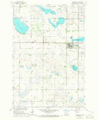
 1986 Lisbon1986 Print · USGSSoutheastern North Dakota's prairie landscape is mapped here in the mid-1980s, showcasing a region defined by its river valleys and rail-fed agricultural towns. Researchers can trace the heritage of communities like Gwinner and Cayuga or locate family markers at Oakwood Cem.2 unique versions available
 - 1989 Map of Fargo, 1990 Print
 1989 Fargo1990 Print · USGSThe Red River Valley at the end of the eighties shows a landscape of flourishing university towns and vital rail corridors. Researchers can trace family roots through Riverside Cem, find early campus layouts for North Dakota State University, or follow the Soo Line Railroad through West Fargo.
 - 2011 Map of Kreiser Lake, 2011 Print
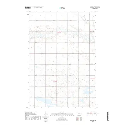
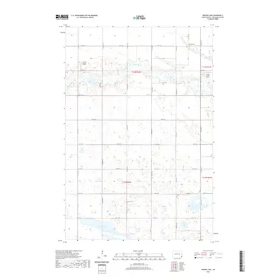
 2011 Kreiser Lake2011 Print · USGSCovers Dexter Township, including Wyndmere Township, Liberty Grove Township, and other nearby areas
 - 2011 Map of Lidgerwood, 2011 Print
 2011 Lidgerwood2011 Print · USGSCovers Dexter Township, including Lidgerwood, Moran Township, and other nearby areas
 - 2011 Map of Geneseo, 2011 Print
 2011 Geneseo2011 Print · USGSCovers Dexter Township, including Cayuga, Tewaukon Township, and other nearby areas
 - 2011 Map of Hamlin, 2011 Print
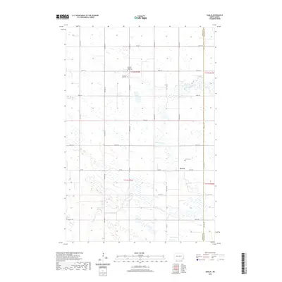
 2011 Hamlin2011 Print · USGSCovers Dexter Township, including Wyndmere Township, Hamlin, and other nearby areas
 - 2014 Map of Geneseo, 2014 Print
 2014 Geneseo2014 Print · USGSCovers Dexter Township, including Cayuga, Tewaukon Township, and other nearby areas
 - 2014 Map of Kreiser Lake, 2014 Print
 2014 Kreiser Lake2014 Print · USGSCovers Dexter Township, including Wyndmere Township, Liberty Grove Township, and other nearby areas
 - 2014 Map of Hamlin, 2014 Print
 2014 Hamlin2014 Print · USGSCovers Dexter Township, including Wyndmere Township, Hamlin, and other nearby areas
 - 2014 Map of Lidgerwood, 2014 Print
 2014 Lidgerwood2014 Print · USGSCovers Dexter Township, including Lidgerwood, Moran Township, and other nearby areas
 - 2017 Map of Geneseo, 2017 Print
 2017 Geneseo2017 Print · USGSCovers Dexter Township, including Cayuga, Tewaukon Township, and other nearby areas
 - 2017 Map of Kreiser Lake, 2017 Print
 2017 Kreiser Lake2017 Print · USGSCovers Dexter Township, including Wyndmere Township, Liberty Grove Township, and other nearby areas
 - 2017 Map of Lidgerwood, 2017 Print
 2017 Lidgerwood2017 Print · USGSCovers Dexter Township, including Lidgerwood, Moran Township, and other nearby areas
 - 2018 Map of Hamlin, 2018 Print
 2018 Hamlin2018 Print · USGSCovers Dexter Township, including Wyndmere Township, Hamlin, and other nearby areas
 - 2020 Map of Kreiser Lake, 2020 Print
 2020 Kreiser Lake2020 Print · USGSCovers Dexter Township, including Wyndmere Township, Liberty Grove Township, and other nearby areas
 - 2020 Map of Hamlin, 2020 Print
 2020 Hamlin2020 Print · USGSCovers Dexter Township, including Wyndmere Township, Hamlin, and other nearby areas
 - 2020 Map of Lidgerwood, 2020 Print
 2020 Lidgerwood2020 Print · USGSCovers Dexter Township, including Lidgerwood, Moran Township, and other nearby areas
 - 2020 Map of Geneseo, 2020 Print
 2020 Geneseo2020 Print · USGSCovers Dexter Township, including Cayuga, Tewaukon Township, and other nearby areas
Showing maps 1-25 of 29
Top cities near Dexter Township
- Lidgerwood historical maps
- Wyndmere historical maps
- Mantador historical maps
- Barney historical maps
- Cayuga historical maps
Frequently asked questions
- What are the different types of historical maps available for Dexter Township?
- What is the oldest map of Dexter Township?
- Where can I purchase historical maps of Dexter Township for my home or office?
- Where can I download high-res historical maps of Dexter Township?
- Are there historical topographic maps available for Dexter Township?
- Is there historical aerial imagery available for Dexter Township?
- Where are historical maps of Dexter Township sourced from?