2020s Maps of Walcott Township, North Dakota
Explore 12 historic maps of Walcott Township from the 2020s. These maps offer a rare glimpse into what life looked like during the 2020s — showing old roads, neighborhoods, homes, and landmarks that have changed or disappeared over time.
Whether you're researching your family's past, planning a metal detecting trip, or studying how Walcott Township's landscape evolved across the 2020s, these high-resolution maps are a powerful tool for exploring the history of this region.
- Focus on a specific era: All maps on this page are from the 2020s, giving you a focused view of this time period.
- See what’s changed: Compare century-old streets, trails, and buildings to today's modern landscape using overlays and satellite layers.
- Research with precision: Use these maps for genealogy, historical research, land use analysis, or educational projects.
- View, download, or print: Maps are fully viewable online in high resolution, and can be downloaded or printed for your own records.
Start exploring Walcott Township's history through authentic maps from the 2020s. This is your window into the past.
Walcott Township, ND maps
(12)- 2020 Map of Walcott, 2020 Print
 2020 Walcott2020 Print · USGSCovers Walcott Township, including Walcott, Colfax Township, and other nearby areas
 - 2020 Map of Christine, 2020 Print
 2020 Christine2020 Print · USGSCovers Walcott Township, including Christine, Eagle Township, and other nearby areas
 - 2020 Map of Hickson, 2020 Print
 2020 Hickson2020 Print · USGSCovers Walcott Township, including Fargo, Horace, and other nearby areas
 - 2020 Map of Kindred, 2020 Print
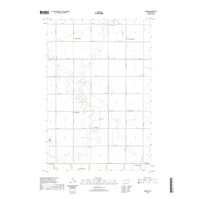
 2020 Kindred2020 Print · USGSCovers Walcott Township, including Kindred, Davenport, and other nearby areas
 - 2020 Map of Barrie, 2020 Print
 2020 Barrie2020 Print · USGSCovers Walcott Township, including Barrie Township, Viking Township, and other nearby areas
 - 2020 Map of Norman, 2020 Print
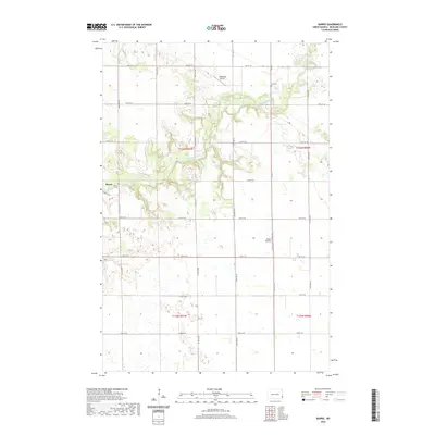
 2020 Norman2020 Print · USGSCovers Walcott Township, including Horace, Kindred, and other nearby areas
 - 2024 Map of Kindred, 2024 Print
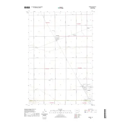
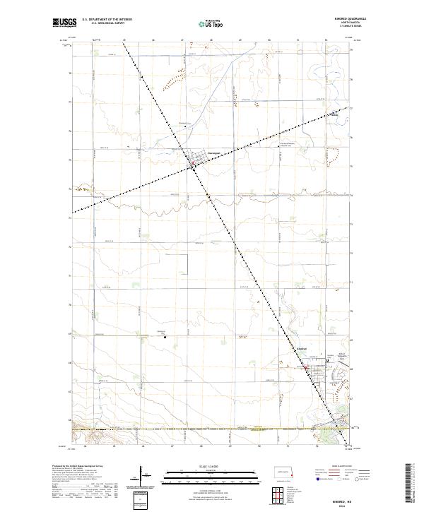 2024 Kindred2024 Print · USGSThe fertile plains of Cass County are captured in this recent survey of the rural communities near the Sheyenne River. Genealogists and local historians can trace family ties at the Christiania Cem, Davenport Cem, and the streets of Kindred.
 - 2024 Map of Barrie, 2024 Print
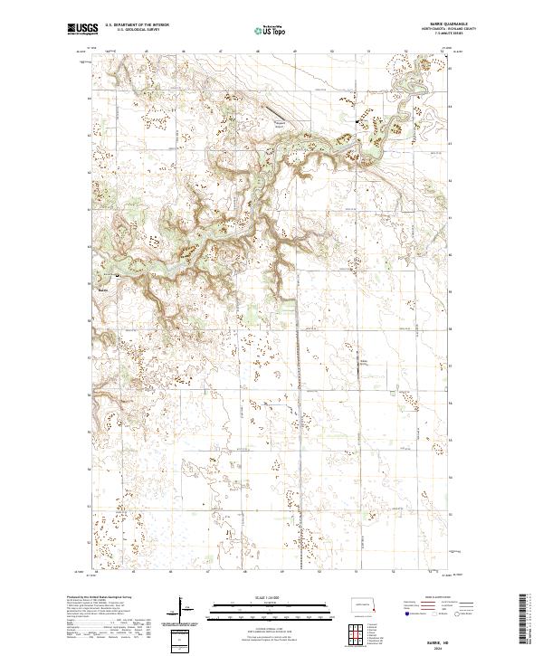 2024 Barrie2024 Print · USGSRichland County's agricultural heartland is documented here in the early twenty-first century, centered on the Sheyenne River valley. Genealogists and researchers can locate the Barrie Cem and Gol Cem, or trace rural aviation at Bakko Airstrip.
 - 2024 Map of Christine, 2024 Print
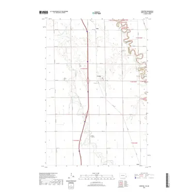
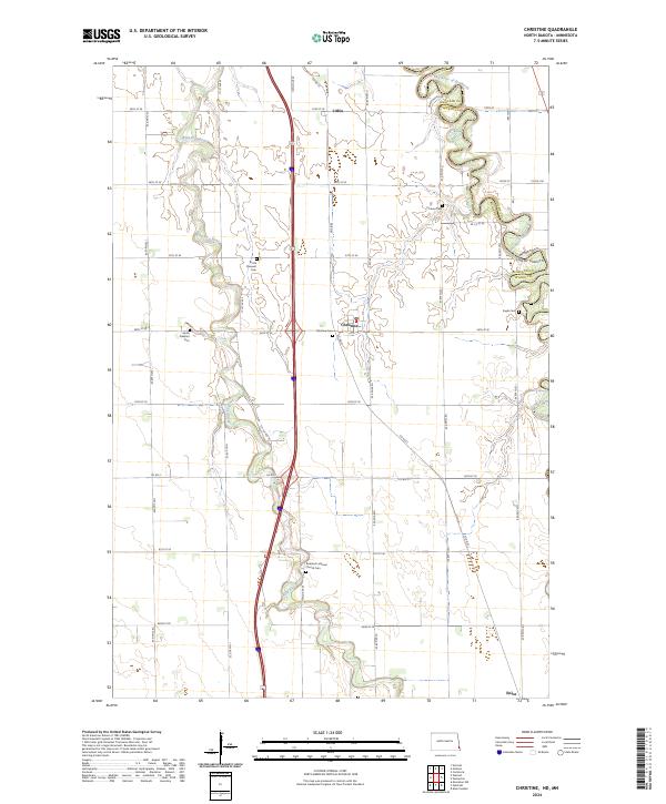 2024 Christine2024 Print · USGSRichland County, North Dakota, is documented here in the early twenty-first century, showing the intersection of the Red River of the North and the local road grid. Genealogists can locate several family and community landmarks, including Pioneer Cem and South Pleasant Cem.
 - 2024 Map of Walcott, 2024 Print
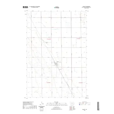
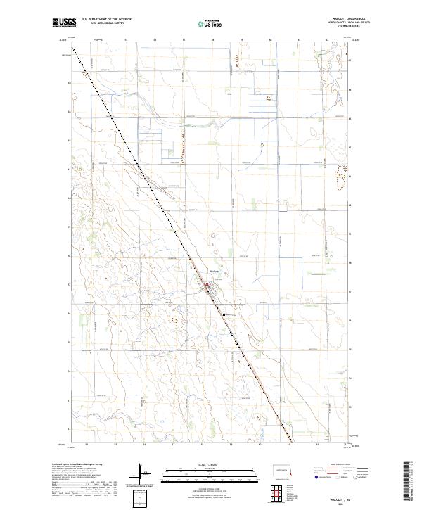 2024 Walcott2024 Print · USGSWalcott and the surrounding Richland County plains are captured here in the early twenty-first century, showing a landscape defined by industrial agriculture and rural tradition. Researchers can pinpoint the Walcott Cem and trace the modern path of the North Country National Scenic Trl as it traverses the prairie.
 - 2024 Map of Hickson, 2024 Print
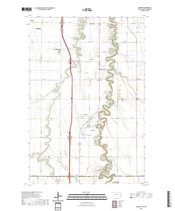 2024 Hickson2024 Print · USGSThe Red River Valley south of Fargo is captured here in detail, showcasing the winding river border and rural townships. Researchers can trace local genealogy through several historic burial sites, including Saint Benedict Cemetery, Hoff Cemetery, and Clara Cemetery.
 - 2024 Map of Norman, 2024 Print
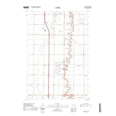
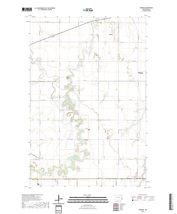 2024 Norman2024 Print · USGSThe Sheyenne River winds through the fertile plains south of Fargo in this modern portrait of the Red River Valley. Genealogists and local historians can trace rural landmarks including Norman Cem, Perhus Cem, and the small settlement of Norman.
End of results
Showing maps 1-12 of 12
Top cities near Walcott Township
- Fargo historical maps
- West Fargo historical maps
- Moorhead historical maps
- Horace historical maps
- Kindred historical maps
- Abercrombie historical maps
See more
Frequently asked questions
- What are the different types of historical maps available for Walcott Township?
- What is the oldest map of Walcott Township?
- Where can I purchase historical maps of Walcott Township for my home or office?
- Where can I download high-res historical maps of Walcott Township?
- Are there historical topographic maps available for Walcott Township?
- Is there historical aerial imagery available for Walcott Township?
- Where are historical maps of Walcott Township sourced from?