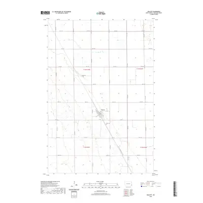
2020 Map of Walcott
USGS Topo · Published 2020About this map
Walcott stands as a focal point in Richland County, defined by its rectilinear grid of streets including Main Ave and 1st Ave. The landscape is a testament to the systematic township and range surveying of North Dakota, with a dense network of section line roads like 167th Ave SE and 57th St SE carving the terrain into productive agricultural squares. A significant modern recreational corridor, the N Country National Scenic Trail, cuts diagonally through the area, following a path near the settlement and continuing southeast. Local history is anchored by the Walcott Cem situated just south of the town center, while landmarks like Anderson Drive indicate more recent residential development within this traditionally rural expanse.
Find a feature on this map
28 named features on this map. Tap any name to fly to it.
Don’t see what you’re looking for? This feature index may not catch every label — zoom into the map to look around manually.
Map Details
Editions of this 2020 Walcott Map
This is the sole edition of this map. No revisions or reprints were ever made.
Other maps of this area

1895 · Fargo
USGS Topo · 1:125,000

1895 · Casselton
USGS Topo · 1:125,000

1897 · Fargo
USGS Topo · 1:125,000

1897 · Casselton
USGS Topo · 1:125,000

1904 · Wahpeton
USGS Topo · 1:125,000

1907 · Wyndmere
USGS Topo · 1:125,000

1953 · Fargo
USGS Topo · 1:250,000

1956 · Fargo
USGS Topo · 1:250,000

1959 · Kindred
USGS Topo · 1:24,000

1959 · Wyndmere NE
USGS Topo · 1:24,000