Old Maps of Waldo Township, North Dakota for Metal Detecting
Plan your next treasure hunt with 18 historic maps of Waldo Township. Find old homesites, ghost towns, trails, and gathering spots that may be lost to time — perfect for identifying promising metal detecting locations.
- Locate forgotten sites: Uncover places like long-lost settlements, abandoned rail lines, or gathering spots.
- Plan better hunts: Use map overlays combined with LiDAR or satellite views to narrow in on historically rich areas.
- Made for detectorists: Thousands of hobbyists use these maps to discover relics, coins, and hidden history.
Use these historic maps to boost your research and find new opportunities beneath the surface of Waldo Township.
Waldo Township, ND maps
(18)- 1904 Map of Wahpeton
 1904 Wahpeton1904 Print · USGSThe Red River Valley at the start of the century was a landscape of burgeoning rail towns and river commerce along the Minnesota border. Genealogists can trace early homesteads and transport hubs between Wahpeton and Breckenridge, or follow the rail lines through Hankinson and Abercrombie.2 unique versions available
 - 1953 Map of Fargo, 1965 Print
 1953 Fargo1965 Print · USGSThe Red River Valley in the mid-fifties was a bustling rail and agricultural corridor during a period of steady prairie growth. Genealogists and historians can trace the intricate rail networks of the Great Northern and Soo Line connecting local hubs like Casselton and Wahpeton.2 unique versions available
 - 1956 Map of Fargo
 1956 Fargo1956 Print · USGSThe Red River Valley's agricultural heartland is documented here in the mid-fifties as the rail-and-road network expanded across the plains. Genealogists can trace family roots through numerous small railroad towns and local landmarks like Casselton, Sheyenne Valley Church, and Sisseton Indian Res.
 - 1964 Map of Hankinson, 1965 Print
 1964 Hankinson1965 Print · USGSHankinson served as a busy North Dakota rail junction in the mid-sixties, where the prairie landscape is dotted with numerous glacial lakes. Researchers can trace the Great Northern Old Railroad Grade, find family sites at Hillside Cem, or locate the rural School No 2.
 - 1964 Map of Hankinson SE, 1965 Print
 1964 Hankinson SE1965 Print · USGSRichland County at the start of the 1960s reveals a structured agricultural landscape shaped by the rail lines of the prairie. Genealogists and historians can trace old property lines across Brandenburg or locate rural landmarks like School No 1 and the Soo Line.
 - 1985 Map of Wahpeton, 1986 Print
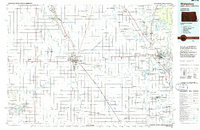 1985 Wahpeton1986 Print · USGSThe Red River Valley and Minnesota lake country meet in the mid-eighties at the border towns of Wahpeton and Breckenridge. Genealogists and historians can trace the rail lines of the Burlington Northern through settlements like Abercrombie and Hankinson, or locate legacy sites like Fort Abercrombie State Park.2 unique versions available
 - 1989 Map of Fargo, 1990 Print
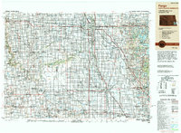 1989 Fargo1990 Print · USGSThe Red River Valley at the end of the eighties shows a landscape of flourishing university towns and vital rail corridors. Researchers can trace family roots through Riverside Cem, find early campus layouts for North Dakota State University, or follow the Soo Line Railroad through West Fargo.
 - 1998 Map of Hankinson, 2000 Print
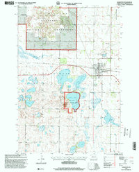 1998 Hankinson2000 Print · USGSHankinson was a vital prairie rail hub and wetland refuge in the late nineties. Local researchers can trace the Soo Line tracks, locate Calvary Cem, and explore the shoreline of Lake Elsie near the national wildlife refuge.
 - 2011 Map of Hankinson SE, 2011 Print
 2011 Hankinson SE2011 Print · USGSSoutheast of Hankinson in the early twenty-first century, this landscape shows the meticulous organization of North Dakota's agricultural heartland. Genealogists and researchers can trace the section-line roads and rural corridors including County Rd 1 and the distinctive Devils Nest.
 - 2011 Map of Hankinson, 2011 Print
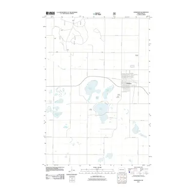 2011 Hankinson2011 Print · USGSHankinson and its surrounding prairie lakeland are captured here at the start of the 2010s. Local researchers can trace family plots across several sites, including Immanuel Cemetery and Hillside Cemetery, or survey the shorelines of Lake Elsie and Willard Lake.
 - 2014 Map of Hankinson, 2014 Print
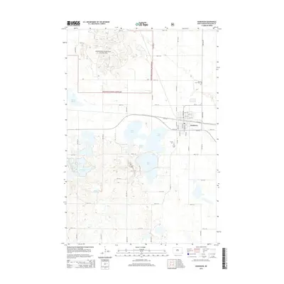 2014 Hankinson2014 Print · USGSRichland County, North Dakota, is captured here in the early 2010s, showing a landscape defined by prairie lakes and the town of Hankinson. Researchers can locate several burial grounds including Calvary Cem and trace the eastern edge of the Sheyenne National Grassland.
 - 2014 Map of Hankinson SE, 2014 Print
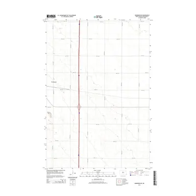 2014 Hankinson SE2014 Print · USGSRichland County's agricultural landscape is captured here in the early twenty-first century, showing the enduring grid of prairie section roads. Genealogists and local historians can trace the outskirts of Hankinson and the distinctive topography of the Devils Nest.
 - 2017 Map of Hankinson SE, 2017 Print
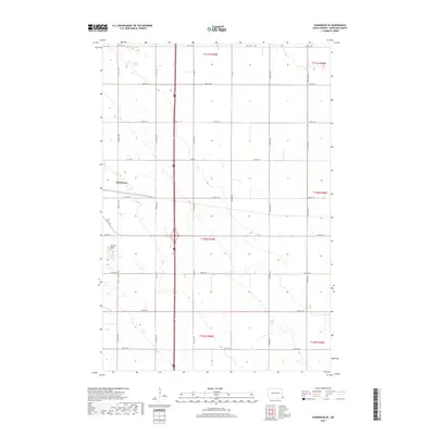 2017 Hankinson SE2017 Print · USGSSoutheast Richland County in the late 2010s remains a landscape of precise geometry and agricultural heritage. Genealogists and researchers can trace the rural sections around Hankinson and the unique terrain of Devils Nest along Co Rd 21 E.
 - 2018 Map of Hankinson, 2018 Print
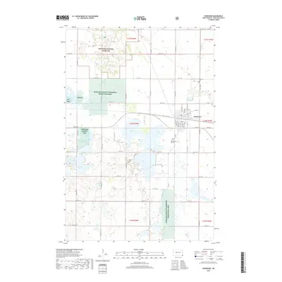 2018 Hankinson2018 Print · USGSRichland County in the late 2010s is defined by its prairie wetlands and the established town of Hankinson. Genealogists and historians can map out local burial sites like Immanuel Cem or explore the geography of Lake Elsie and Round Lake.
 - 2020 Map of Hankinson SE, 2020 Print
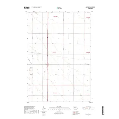 2020 Hankinson SE2020 Print · USGSRichland County at the start of the 2020s shows a landscape defined by its grid and subtle elevation changes. Researchers can trace the section-line roads of the agricultural heartland and explore the unique terrain around Devils Nest or the corridor of Co Rd 15.
 - 2020 Map of Hankinson, 2020 Print
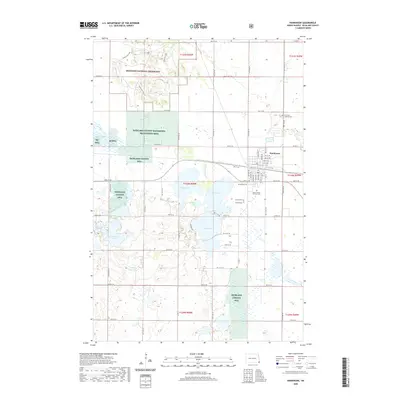 2020 Hankinson2020 Print · USGSSoutheastern North Dakota comes into focus during the early twenty-first century as the city of Hankinson sits amidst a landscape of conservation lands and glacial lakes. Genealogists can locate several burial grounds including Immanuel Lutheran Cem and United Cem, while others may trace the shorelines of Lake Elsie or Stacks Slough.
 - 2024 Map of Hankinson SE, 2024 Print
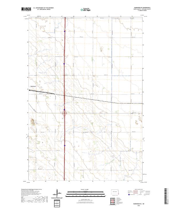 2024 Hankinson SE2024 Print · USGSRichland County's agricultural heartland is captured here in the early twenty-first century, showing the enduring grid of the Dakota prairie. Trace the outskirts of Hankinson and the rural intersections of Co Rd 15 and 93rd St SE.
 - 2024 Map of Hankinson, 2024 Print
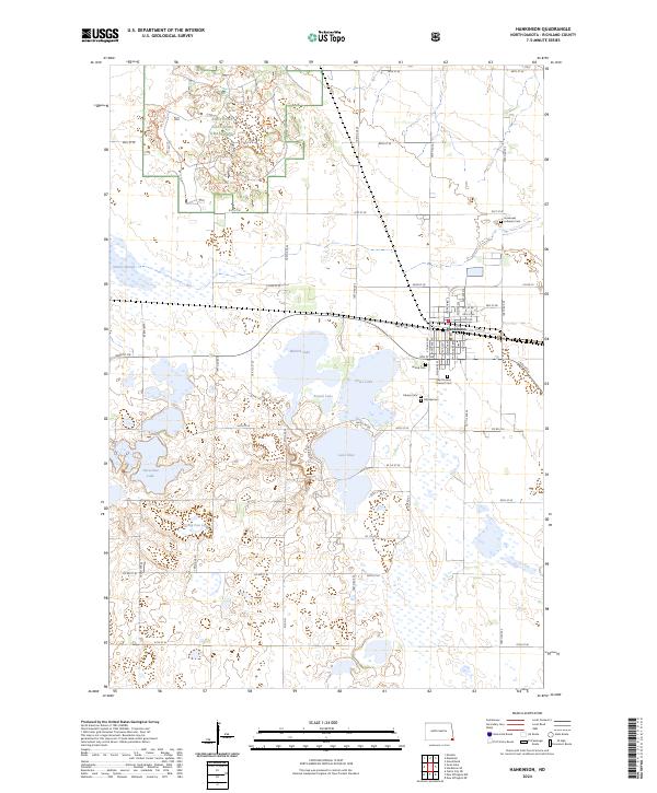 2024 Hankinson2024 Print · USGSSoutheast North Dakota’s prairie pothole region comes into focus here, centered on the rail hub of Hankinson and its surrounding wetlands. Genealogists and historians can locate several local burial sites, including Immanuel Lutheran Cem and Hillside Cem, near the shores of Lake Elsie.
End of results
Showing maps 1-18 of 18
Top cities near Waldo Township
- Wahpeton historical maps
- Breckenridge historical maps
- Hankinson historical maps
- Rosholt historical maps
- Fairmount historical maps
- New Effington historical maps
See more
Frequently asked questions
- What are the different types of historical maps available for Waldo Township?
- What is the oldest map of Waldo Township?
- Where can I purchase historical maps of Waldo Township for my home or office?
- Where can I download high-res historical maps of Waldo Township?
- Are there historical topographic maps available for Waldo Township?
- Is there historical aerial imagery available for Waldo Township?
- Where are historical maps of Waldo Township sourced from?