Old Maps of South Valley Township, North Dakota for Hiking & Exploration
Hike through history with 27 historic maps of South Valley Township. Explore old trails, ghost towns, and forgotten backroads — perfect for outdoor adventurers and local explorers.
- Rediscover forgotten places: Map out old mining camps, roads, and footpaths that no longer exist on modern maps.
- Layer with modern tools: Combine with LiDAR or satellite views to plan hikes through historical terrain.
- Made for exploration: Popular among hikers, overlanders, and local history lovers.
Use these maps to find adventure and explore the hidden past of South Valley Township.
South Valley Township, ND maps
(27)- 1954 Map of Overly SE, 1956 Print
 1954 Overly SE1956 Print · USGSThe Rolette and Pierce County borderlands in the mid-fifties reveal a classic North Dakota prairie landscape of section-line roads and rural schoolhouses. Researchers can trace the locations of the Zion Cem, Banner School No 14, and the winding course of Wolf Creek.
 - 1954 Map of Barton, 1956 Print
 1954 Barton1956 Print · USGSThe northern Great Plains landscape around Barton is captured here during the mid-fifties, showing the intersection of three counties. Researchers can trace the path of the Great Northern railroad and locate rural landmarks like Pleasant Valley Sch.2 unique versions available
 - 1954 Map of Minot, 1964 Print
 1954 Minot1964 Print · USGSNorth Dakota's northern borderlands are captured here in the mid-fifties, showing a landscape defined by the winding Souris River and the rise of the Turtle Mountains. Genealogists can locate family-named sidings like Hurd Siding and Truro Siding alongside the vital Great Northern rail lines.3 unique versions available
 - 1955 Map of Fonda, 1956 Print
 1955 Fonda1956 Print · USGSNorth Dakota's prairie townships in the mid-fifties reveal a landscape of rural schools and rail-dependent settlements. Trace the old Soo Line tracks through Fonda or locate the site of Cleveland Sch.
 - 1955 Map of Overly, 1956 Print
 1955 Overly1956 Print · USGSThe rail-and-creek landscape of Bottineau and Rolette counties is captured here in the mid-fifties. Genealogists and historians can locate rural landmarks like Little Fargo Cem, Cote Sch No 2, and the namesake town of Overly.
 - 1958 Map of Minot
 1958 Minot1958 Print · USGSNorthern North Dakota is shown here during the mid-fifties, dominated by the rail-driven growth of Minot and the surrounding grain-farming prairie. Genealogists can trace family connections to border towns like Westhope or explore the vast reaches of the Turtle Mountains.
 - 1980 Map of Bottineau
 1980 Bottineau1980 Print · USGSNorth Dakota's northern borderlands are shown here in the 1980s, where the high wooded hills of the Turtle Mountains meet the Souris River valley. Genealogists and historians can trace the rail networks of the Soo Line and locate landmarks like San Haven, Butte St Paul, and the International Peace Garden.
 - 2011 Map of Barton, 2011 Print
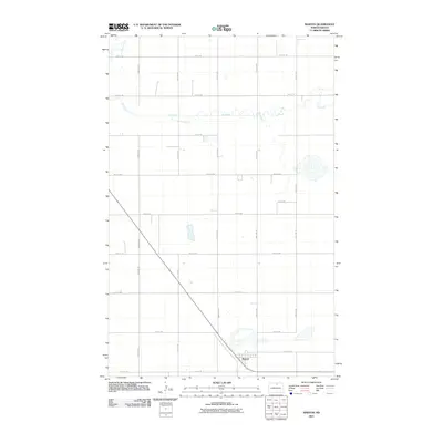 2011 Barton2011 Print · USGSBarton and the surrounding North Dakota prairie are captured in this 2011 survey at the height of the modern agricultural era. Genealogists and local historians can trace the precise section lines and rural routes like 21st Ave Ne that connect Barton to the meandering banks of Ox Creek.
 - 2011 Map of Overly SE, 2011 Print
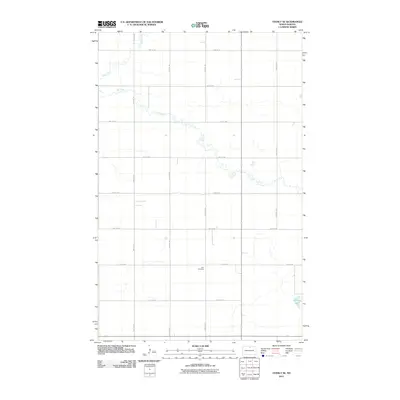 2011 Overly SE2011 Print · USGSRolette County's agricultural prairie is captured here in the early twenty-first century, showing the precise grid of section-line roads and seasonal waterways. Genealogists and local historians can locate Zion Cemetery and trace the paths of Ox Creek and Wolf Creek.
 - 2011 Map of Fonda, 2011 Print
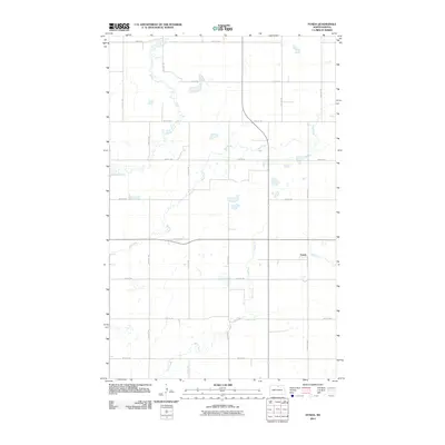 2011 Fonda2011 Print · USGSFonda and the surrounding Kohlmeier Township prairies are captured here at the start of the decade, showing the region's enduring agricultural grid. Genealogists and local historians can trace the watercourses of Willow Creek and Wolf Creek or locate the rural crossroads near Fonda.
 - 2011 Map of Overly, 2011 Print
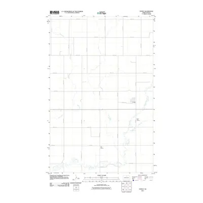 2011 Overly2011 Print · USGSOverly and the surrounding prairie of Bottineau County are mapped here in the early 21st century, showing the intersection of rural life and natural drainage. Trace family connections at Willow Creek Cemetery or Little Fargo Cemetery and follow the winding course of Miller Creek.
 - 2014 Map of Overly SE, 2014 Print
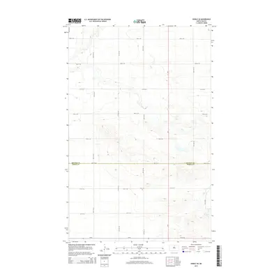 2014 Overly SE2014 Print · USGSThe North Dakota prairie near the Rolette and Pierce county line is captured here in the early twenty-first century. Genealogists and local historians can locate Zion Cem or trace the drainage of Wolf Cr and Ox Cr across the section grid.
 - 2014 Map of Fonda, 2014 Print
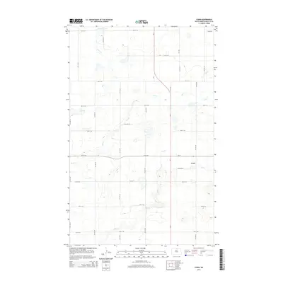 2014 Fonda2014 Print · USGSThe northern prairie of Rolette County is documented here during the early twenty-first century. Genealogists and local historians can trace the rural grid surrounding Fonda, following watercourses like Willow Cr and Mud Cr across the landscape.
 - 2014 Map of Overly, 2014 Print
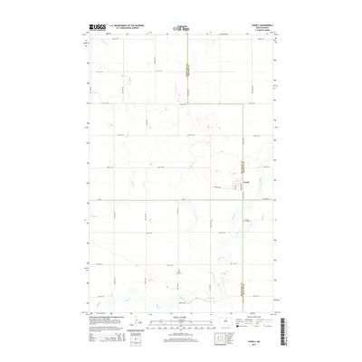 2014 Overly2014 Print · USGSThe northern plains near the border of Bottineau and Rolette counties are captured here in the early twenty-first century. Researchers can locate family sites and rural landmarks like Willow Creek Cem, Little Fargo Cem, and the village of Overly.
 - 2014 Map of Barton, 2014 Print
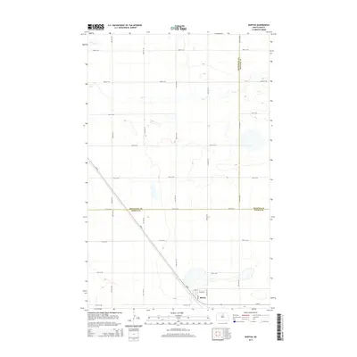 2014 Barton2014 Print · USGSBarton sits at the crossroads of three counties in the early twenty-first century, surrounded by the wide-open prairie of North Dakota. Genealogists and local historians can trace the town's layout and the rural road network including ND-60 and the waters of Ox Cr.
 - 2017 Map of Overly SE, 2017 Print
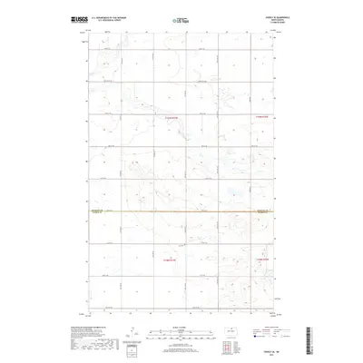 2017 Overly SE2017 Print · USGSThe rural borderlands of Rolette and Pierce Counties appear here in the late twenty-tens, showing a classic prairie pothole landscape. Genealogists and local historians can locate Zion Cem and trace the paths of Wolf Cr and Ox Cr through the township.
 - 2017 Map of Barton, 2017 Print
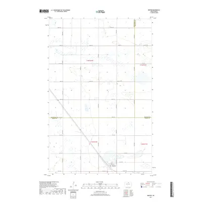 2017 Barton2017 Print · USGSThe small community of Barton anchors this 2017 survey of the North Dakota prairie as it appeared in the mid-2010s. Researchers can trace the local road network and water features like Ox Cr or follow the grid of streets including Lake St.
 - 2017 Map of Fonda, 2017 Print
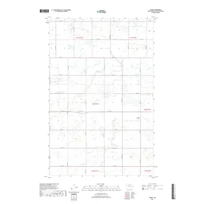 2017 Fonda2017 Print · USGSRolette County, North Dakota, is mapped here in the modern era, showing the quiet settlement of Fonda amid a landscape of prairie wetlands. Researchers can trace the drainage of Willow Cr and Mud Cr or follow the grid of historic township roads like Fonda Rd.
 - 2017 Map of Overly, 2017 Print
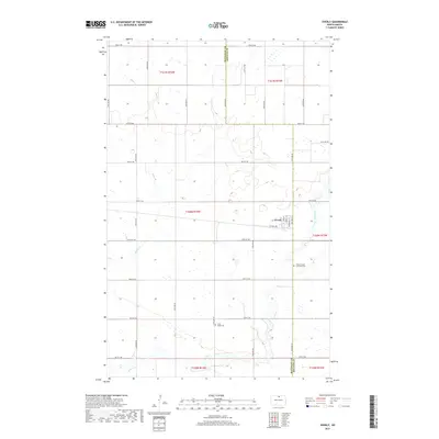 2017 Overly2017 Print · USGSOverly and the surrounding North Dakota plains are captured in this recent survey, showcasing the enduring section-line grid of the prairie. Researchers can trace local history at the Willow Creek Lutheran Cemetery or explore the drainage of Miller Creek.
 - 2020 Map of Barton, 2020 Print
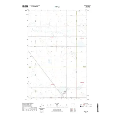 2020 Barton2020 Print · USGSThe northern plains of Pierce County are captured here in the early twenty-first century, showing the small community of Barton. Genealogists and local historians can locate specific family landmarks such as West Barton Lutheran Cem and East Barton Lutheran Cem.
 - 2020 Map of Overly SE, 2020 Print
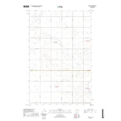 2020 Overly SE2020 Print · USGSThe rural border of Rolette and Pierce Counties is captured here in the early twenty-first century, showing a landscape shaped by glacial waters. Researchers can locate the Zion Cem and trace the drainage of Wolf Cr and Ox Cr across the section lines.
 - 2020 Map of Fonda, 2020 Print
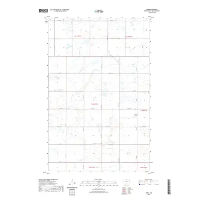 2020 Fonda2020 Print · USGSRolette County's prairie landscape is captured here in the early twenty-first century, showing the rural crossroads of Fonda. Genealogists and local historians can trace the section-line roads and natural watercourses like Wolf Cr, Mud Cr, and Snake Cr.
 - 2020 Map of Overly, 2020 Print
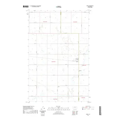 2020 Overly2020 Print · USGSOverly sits at the center of this rural North Dakota landscape as it appeared in 2020. Genealogists and local historians can locate the Willow Creek Lutheran Cem, Little Fargo Cem, and the winding course of Willow Cr.
 - 2024 Map of Overly SE, 2024 Print
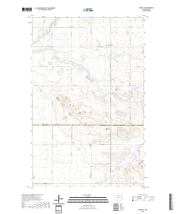 2024 Overly SE2024 Print · USGSThe North Dakota prairie at the Pierce and Rolette county line comes into focus in this recent survey. Researchers can trace rural land divisions and find the solitary Zion Cem alongside the meanders of Wolf Creek and Ox Creek.
 - 2024 Map of Overly, 2024 Print
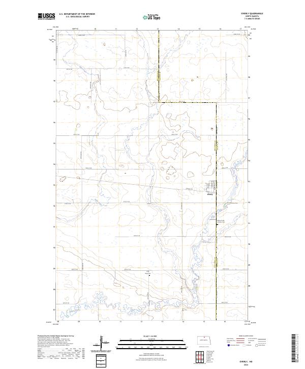 2024 Overly2024 Print · USGSThe rural prairie of eastern Bottineau County is captured here in the early twenty-first century, centered on the small grid of Overly. Researchers can trace local lineage at the Willow Creek Lutheran Cem or follow the winding path of Willow Creek.
Showing maps 1-25 of 27
Top cities near South Valley Township
- Rugby historical maps
- Dunseith historical maps
- Shell Valley historical maps
- Willow City historical maps
- Overly historical maps
Frequently asked questions
- What are the different types of historical maps available for South Valley Township?
- What is the oldest map of South Valley Township?
- Where can I purchase historical maps of South Valley Township for my home or office?
- Where can I download high-res historical maps of South Valley Township?
- Are there historical topographic maps available for South Valley Township?
- Is there historical aerial imagery available for South Valley Township?
- Where are historical maps of South Valley Township sourced from?