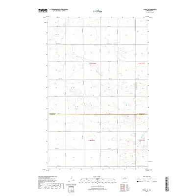
2017 Map of Overly SE
USGS Topo · Published 2017About this map
Zion Cem stands as a quiet focal point in the southern reaches of South Valley Township, marking a landscape defined by the drainage patterns of Wolf Cr and Ox Cr. This rural territory along the boundary of Rolette Co and Pierce Co is structured by a rigorous grid of section lines and gravel roads, including the prominent Willow City Rd. The numerous small wetlands and prairie potholes scattered throughout the township illustrate the glaciated terrain typical of the North Dakota plains. The map details the transition from Township 159 North to Township 158 North, showing a sparsely populated agricultural region where transportation is dictated by numbered section roads like 83rd St NE and 75th St NE.
Find a feature on this map
17 named features on this map. Tap any name to fly to it.
Don’t see what you’re looking for? This feature index may not catch every label — zoom into the map to look around manually.
Map Details
Editions of this 2017 Overly SE Map
This is the sole edition of this map. No revisions or reprints were ever made.
Other maps of this area

1953 · Devils Lake
USGS Topo · 1:250,000
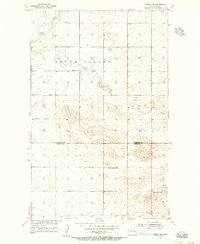
1954 · Overly SE
USGS Topo · 1:24,000
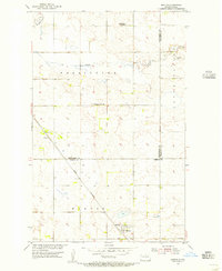
1954 · Barton
USGS Topo · 1:24,000
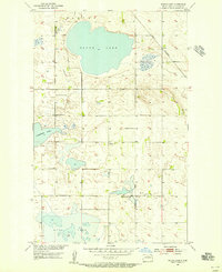
1954 · Round Lake
USGS Topo · 1:24,000
1954 · Rugby NW
USGS Topo · 1:24,000
1954 · Leverich
USGS Topo · 1:24,000
1954 · Minot
USGS Topo · 1:250,000
1955 · Fonda
USGS Topo · 1:24,000
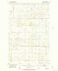
1955 · Thorne
USGS Topo · 1:24,000
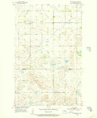
1955 · Rolette SW
USGS Topo · 1:24,000