Old Maps of Solen, Cannonball District for Genealogy
Trace your family roots with 9 historic maps of Solen. These high-res maps reveal old neighborhoods, homesites, landmarks, and streets — helping you uncover where your ancestors lived and how the area evolved over time.
- Explore historic neighborhoods: Identify where your relatives may have lived in the 1800s or 1900s.
- Compare maps over time: Trace the changes in streets, buildings, and landmarks for multi-generational research.
- Perfect for genealogy & ancestry research: Used by family historians and researchers to map out lineage and migration.
These maps are an incredible resource for exploring your personal connection to Solen's past.
Solen, Cannonball District maps
(9)- 1954 Map of Bismarck, 1967 Print
 1954 Bismarck1967 Print · USGSBismarck and the Missouri River basin are shown in the mid-1960s as the Oahe Reservoir reshaped the valley. Genealogists can trace family-named landmarks like Dog Tooth Buttes and small prairie settlements such as Fort Yates, Selfridge, and Brisbane.2 unique versions available
 - 1958 Map of Bismarck
 1958 Bismarck1958 Print · USGSCentral North Dakota in the late fifties is defined by the Missouri River and the sprawling Standing Rock Indian Reservation. Genealogists and historians can trace rail-line outposts like Sedalia Siding or explore local landmarks like Saint Anthony and Fort Lincoln State Park/Museum.
 - 1980 Map of Solen
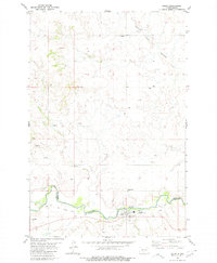 1980 Solen1980 Print · USGSSolen and the Standing Rock Indian Reservation border are captured here in 1980 during a period of rural transition. Genealogists and historians can trace local roots at Sacred Heart Cem, Red Cedar Cem, and the Old Railroad Grade along the Cannonball River.
 - 1980 Map of Linton
 1980 Linton1980 Print · USGSThe Missouri River corridor in the early eighties serves as a backdrop for the sprawling Standing Rock Indian Reservation and Missouri plateau farm towns. Researchers can trace historic railroad routes like the Burlington Northern and find local landmarks such as Fort Yates, Solen, and Winona Flats.
 - 2011 Map of Solen, 2011 Print
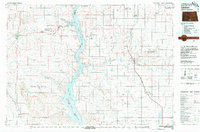
 2011 Solen2011 Print · USGSCovers Solen, including Cannonball District, Morton County, and other nearby areas
 - 2014 Map of Solen, 2014 Print
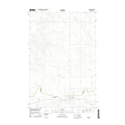 2014 Solen2014 Print · USGSCovers Solen, including Cannonball District, Morton County, and other nearby areas
 - 2018 Map of Solen, 2018 Print
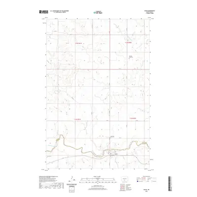
 2018 Solen2018 Print · USGSCovers Solen, including Cannonball District, Morton County, and other nearby areas
 - 2020 Map of Solen, 2020 Print
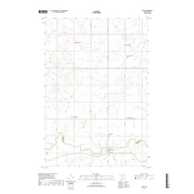
 2020 Solen2020 Print · USGSCovers Solen, including Cannonball District, Morton County, and other nearby areas
 - 2024 Map of Solen, 2024 Print
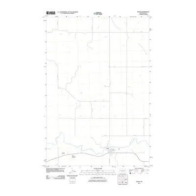
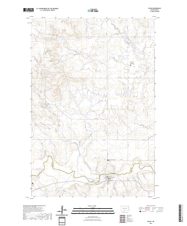 2024 Solen2024 Print · USGSThe community of Solen and the meanders of the Cannonball River characterize this modern North Dakota survey. Researchers can trace local history through sites like the Saint John the Baptist Catholic Cem and Red Cedar Cem near the Solen townsite.
End of results
Showing maps 1-9 of 9
Top cities near Solen
Frequently asked questions
- What are the different types of historical maps available for Solen?
- What is the oldest map of Solen?
- Where can I purchase historical maps of Solen for my home or office?
- Where can I download high-res historical maps of Solen?
- Are there historical topographic maps available for Solen?
- Is there historical aerial imagery available for Solen?
- Where are historical maps of Solen sourced from?