Old Maps of South Heart, North Dakota for Academic Research
Study the evolution of South Heart with 15 high-resolution historic maps. Whether you're teaching, researching, or modeling changes in land use, these maps provide essential visual documentation of urban, environmental, and geographic change.
- Analyze long-term change: Track patterns in development, transportation, and natural features.
- Ideal for environmental or urban studies: Support academic projects with primary historical map data.
- Use in the classroom or lab: Educators and researchers rely on these maps to bring historical context to life.
These maps are a powerful tool for teaching, research, and visualizing how South Heart has changed over the decades.
South Heart, ND maps
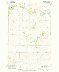
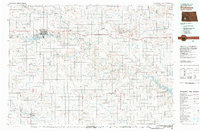
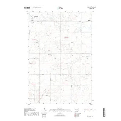
(15)- 1953 Map of Dickinson, 1968 Print
 1953 Dickinson1968 Print · USGSWestern North Dakota in the fifties remains a landscape of rail-linked prairie towns and rugged badlands. Trace the local impact of the Northern Pacific railroad through Dickinson or locate early rural landmarks like Rainy Butte Church and Boys Ranch.2 unique versions available
 - 1957 Map of Dickinson
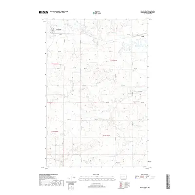
 1957 Dickinson1957 Print · USGSSouthwestern North Dakota in the mid-fifties is a landscape of coal mining and tight-knit rural school districts. Genealogists can trace family footprints through numerous country schools like Fisher School and parish churches like St Stephens.
 - 1973 Map of New Hradec South, 1977 Print
 1973 New Hradec South1977 Print · USGSThe rural borders of Stark and Dunn counties come alive in the early 1970s, showing a landscape of traditional ranching transitioning into an era of energy extraction. Genealogists and historians can trace the vicinity of New Hradec and locate specific features like Dutch Henry Butte, North Duck Creek, and early oil infrastructure.
 - 1973 Map of South Heart, 1978 Print
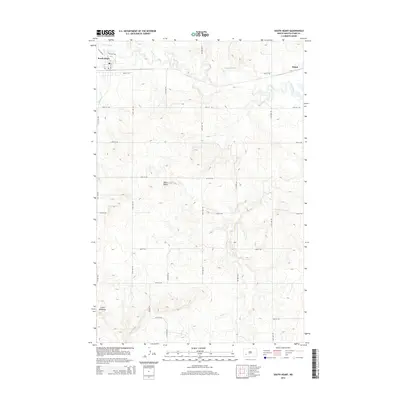
 1973 South Heart1978 Print · USGSSouth Heart and the surrounding Stark County prairies are captured here in the early 1970s as the railroad and river systems define the local economy. Genealogists and historians can locate St Marys Ch and trace the path of the Burlington Northern toward Edward Arthur Patterson Lake.
 - 1981 Map of Dickinson
 1981 Dickinson1981 Print · USGSSouthwestern North Dakota prairie and the growing hub of Dickinson are captured here in the early eighties. Genealogists and local historians can trace the rail-side growth of Hebron and Gladstone or locate rural landmarks like New Hradec and Custer Lookout.
 - 2011 Map of South Heart, 2011 Print
 2011 South Heart2011 Print · USGSCovers South Heart, including Eland, Stark County, and other nearby areas
 - 2011 Map of New Hradec South, 2011 Print
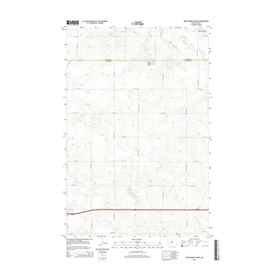
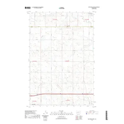
 2011 New Hradec South2011 Print · USGSCovers South Heart, including New Hradec, Stark County, and other nearby areas
 - 2014 Map of South Heart, 2014 Print
 2014 South Heart2014 Print · USGSCovers South Heart, including Eland, Stark County, and other nearby areas
 - 2014 Map of New Hradec South, 2014 Print
 2014 New Hradec South2014 Print · USGSCovers South Heart, including New Hradec, Stark County, and other nearby areas
 - 2018 Map of New Hradec South, 2018 Print
 2018 New Hradec South2018 Print · USGSCovers South Heart, including New Hradec, Stark County, and other nearby areas
 - 2018 Map of South Heart, 2018 Print
 2018 South Heart2018 Print · USGSCovers South Heart, including Eland, Stark County, and other nearby areas
 - 2020 Map of South Heart, 2020 Print
 2020 South Heart2020 Print · USGSCovers South Heart, including Eland, Stark County, and other nearby areas
 - 2020 Map of New Hradec South, 2020 Print
 2020 New Hradec South2020 Print · USGSCovers South Heart, including New Hradec, Stark County, and other nearby areas
 - 2024 Map of South Heart, 2024 Print
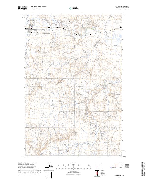 2024 South Heart2024 Print · USGSSouth Heart and the surrounding Stark County prairies are shown in this 2024 survey. Family historians can locate Saint Mary's Cem and trace the drainage of Heart River past White Butte and the locality of Eland.
 - 2024 Map of New Hradec South, 2024 Print
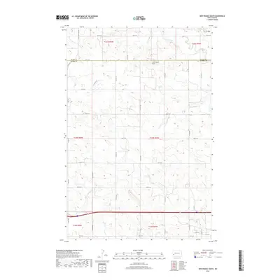
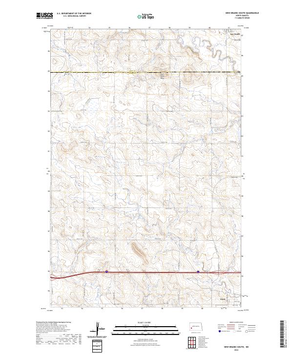 2024 New Hradec South2024 Print · USGSStark County's rural heartland and the outskirts of Eland are documented in this contemporary survey of the North Dakota plains. Genealogists and historians can trace family land across township lines, identifying landmarks like Dutch Henry Butte and New Hradec.
End of results
Showing maps 1-15 of 15
Top cities near South Heart
Frequently asked questions
- What are the different types of historical maps available for South Heart?
- What is the oldest map of South Heart?
- Where can I purchase historical maps of South Heart for my home or office?
- Where can I download high-res historical maps of South Heart?
- Are there historical topographic maps available for South Heart?
- Is there historical aerial imagery available for South Heart?
- Where are historical maps of South Heart sourced from?