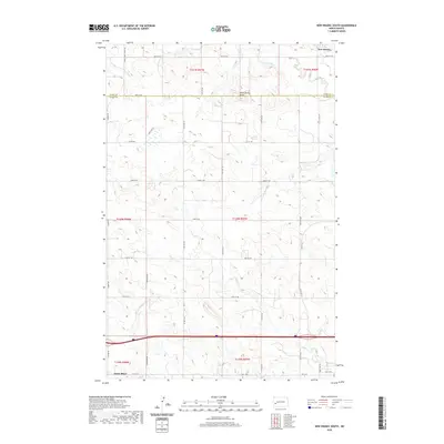
2020 Map of New Hradec South
USGS Topo · Published 2020About this map
South Heart serves as the primary settlement hub at the southern edge of this Stark County landscape, situated near the intersection of Hwy 10 W and S Heart Rd. The terrain is defined by a series of drainage systems, including the eastward-flowing Green River in the north and the meandering Duck Cr and N Cr to the south. This area illustrates the classic High Plains section-line road grid, with routes such as the S Heart Farm to Mkt Rd and numerous numbered avenues and streets facilitating local transit between agricultural tracts. In the northeast corner, the settlement of New Hradec marks the historic influence of Bohemian immigrants who settled this part of the state. The boundary between Dunn County and Stark County cuts across the northern third of the map, providing a clear view of the jurisdictional divisions that shaped regional administration.
Find a feature on this map
31 named features on this map. Tap any name to fly to it.
Don’t see what you’re looking for? This feature index may not catch every label — zoom into the map to look around manually.
Map Details
Editions of this 2020 New Hradec South Map
This is the sole edition of this map. No revisions or reprints were ever made.
Other maps of this area

1953 · Dickinson
USGS Topo · 1:250,000

1953 · Watford City
USGS Topo · 1:250,000

1957 · Dickinson
USGS Topo · 1:250,000

1957 · Watford City
USGS Topo · 1:250,000

1959 · Dickinson North
USGS Topo · 1:24,000

1959 · Dickinson South
USGS Topo · 1:24,000

1962 · Belfield NE
USGS Topo · 1:24,000

1962 · Belfield SE
USGS Topo · 1:24,000

1963 · Fairfield SE
USGS Topo · 1:24,000

1967 · Watford City
USGS Topo · 1:250,000