Old Maps of Cleveland, North Dakota for Academic Research
Study the evolution of Cleveland with 15 high-resolution historic maps. Whether you're teaching, researching, or modeling changes in land use, these maps provide essential visual documentation of urban, environmental, and geographic change.
- Analyze long-term change: Track patterns in development, transportation, and natural features.
- Ideal for environmental or urban studies: Support academic projects with primary historical map data.
- Use in the classroom or lab: Educators and researchers rely on these maps to bring historical context to life.
These maps are a powerful tool for teaching, research, and visualizing how Cleveland has changed over the decades.
Cleveland, ND maps
(15)- 1953 Map of Jamestown
 1953 Jamestown1953 Print · USGSSoutheastern North Dakota was a thriving rail and agricultural corridor in the early fifties, anchored by the James River. Researchers can trace the footprints of institutional landmarks like the North Dakota State Hospital and historic sites such as Whitestone Hill Battlefield Park.3 unique versions available
 - 1953 Map of Cleveland, 1955 Print
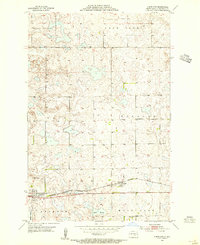 1953 Cleveland1955 Print · USGSStutsman County is shown in the mid-1950s as a landscape of prairie townships centered on the Northern Pacific rail line. Researchers can trace the layout of early schools and community sites like St Pauline Cem, School No 6, and the town of Cleveland.2 unique versions available
 - 1954 Map of Cleveland NW, 1956 Print
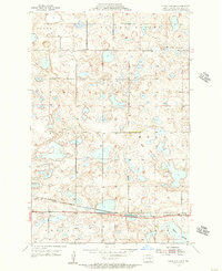 1954 Cleveland NW1956 Print · USGSMid-century Stutsman County is captured here as a landscape of rail-linked prairie towns and glacial sloughs. Researchers can trace the Northern Pacific tracks to the settlement of Cleveland or locate the rural Homes Cem amidst the potholes.2 unique versions available
 - 1956 Map of Jamestown
 1956 Jamestown1956 Print · USGSThe James River valley and the vast alkali lake country of south-central North Dakota are captured here in the mid-fifties. Genealogists can trace family farms across several counties, locating small rail stops like Medberry and monuments like Whitestone Hill Battlefield Park.
 - 1985 Map of Steele, 1994 Print
 1985 Steele1994 Print · USGSCentral North Dakota’s prairie pothole region is showcased here in the mid-1980s, revealing a landscape of vital wetlands and rail-dependent towns. Researchers can trace family ties and land use near Steele, Napoleon, and the many waterfowl production areas like Slade National Wildlife Refuge.
 - 2011 Map of Cleveland, 2011 Print
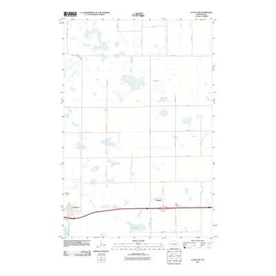 2011 Cleveland2011 Print · USGSCovers Cleveland, including Windsor, Stutsman County, and other nearby areas
 - 2011 Map of Cleveland NW, 2011 Print
 2011 Cleveland NW2011 Print · USGSCovers Cleveland, including Stutsman County, United States, and other nearby areas
 - 2014 Map of Cleveland NW, 2014 Print
 2014 Cleveland NW2014 Print · USGSCovers Cleveland, including Stutsman County, United States, and other nearby areas
 - 2014 Map of Cleveland, 2014 Print
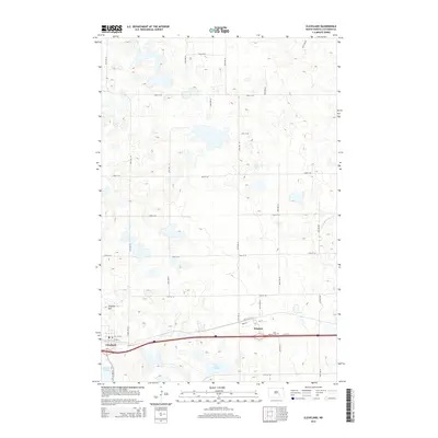 2014 Cleveland2014 Print · USGSCovers Cleveland, including Windsor, Stutsman County, and other nearby areas
 - 2017 Map of Cleveland, 2017 Print
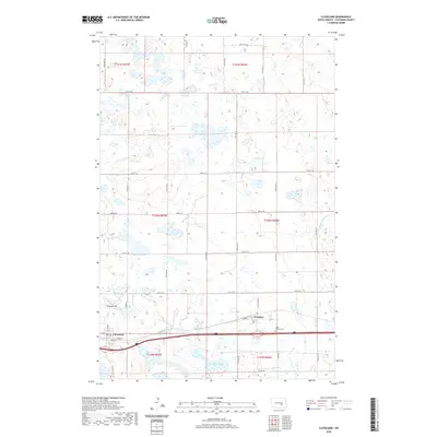
 2017 Cleveland2017 Print · USGSCovers Cleveland, including Windsor, Stutsman County, and other nearby areas
 - 2017 Map of Cleveland NW, 2017 Print
 2017 Cleveland NW2017 Print · USGSCovers Cleveland, including Stutsman County, United States, and other nearby areas
 - 2020 Map of Cleveland NW, 2020 Print
 2020 Cleveland NW2020 Print · USGSCovers Cleveland, including Stutsman County, United States, and other nearby areas
 - 2020 Map of Cleveland, 2020 Print
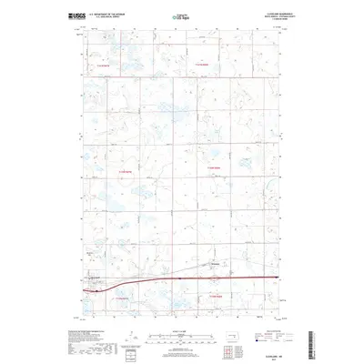
 2020 Cleveland2020 Print · USGSCovers Cleveland, including Windsor, Stutsman County, and other nearby areas
 - 2024 Map of Cleveland NW, 2024 Print
 2024 Cleveland NW2024 Print · USGSStutsman County's prairie pothole region is documented in this contemporary survey of the North Dakota wetlands. Researchers can trace the layout of Cleveland, locate family plots at Homes Cem, and explore the vast Stutsman County Waterfowl Production Area.
 - 2024 Map of Cleveland, 2024 Print
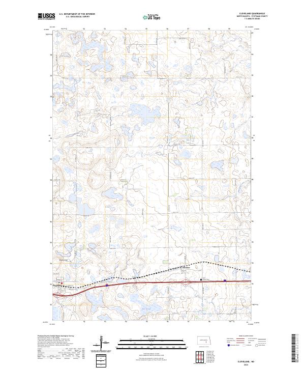 2024 Cleveland2024 Print · USGSCleveland and the surrounding prairie are captured in this recent survey, showcasing the enduring rail-and-agriculture layout of the region. Local researchers can locate Saint Pauline Cem, trace the BNSF Railway, and explore the many sections of the Stutsman County Waterfowl Production Area.
End of results
Showing maps 1-15 of 15
Top cities near Cleveland
Frequently asked questions
- What are the different types of historical maps available for Cleveland?
- What is the oldest map of Cleveland?
- Where can I purchase historical maps of Cleveland for my home or office?
- Where can I download high-res historical maps of Cleveland?
- Are there historical topographic maps available for Cleveland?
- Is there historical aerial imagery available for Cleveland?
- Where are historical maps of Cleveland sourced from?