Old Maps of Edmunds, North Dakota for Hiking & Exploration
Hike through history with 13 historic maps of Edmunds. Explore old trails, ghost towns, and forgotten backroads — perfect for outdoor adventurers and local explorers.
- Rediscover forgotten places: Map out old mining camps, roads, and footpaths that no longer exist on modern maps.
- Layer with modern tools: Combine with LiDAR or satellite views to plan hikes through historical terrain.
- Made for exploration: Popular among hikers, overlanders, and local history lovers.
Use these maps to find adventure and explore the hidden past of Edmunds.
Edmunds, ND maps
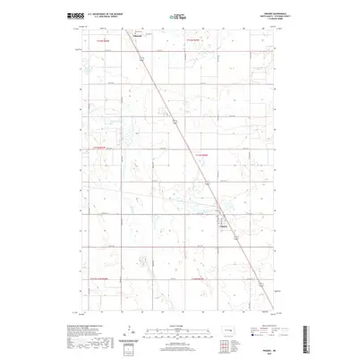
(13)- 1900 Map of Pingree
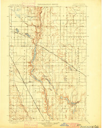 1900 Pingree1900 Print · USGSStutsman and Foster counties come alive in the final years of the nineteenth century as railroads began to stitch together the vast prairie. Researchers can trace the early rail stops at Pingree, Kensal, and Buchanan alongside the waters of Jim Lake and Spiritwood Lake.2 unique versions available
 - 1900 Map of Pingree, 1949 Print
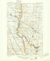 1900 Pingree1949 Print · USGSNorth Dakota's prairie landscape was being rapidly transformed by rail and river at the end of the 19th century. Researchers can trace early township development and rail stops like Pingree, Kensal, and Buchanan along the James River and Arrowwood Lake.
 - 1951 Map of Pingree, 1953 Print
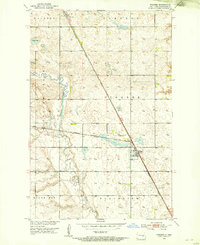 1951 Pingree1953 Print · USGSStutsman County prairie life is captured here in the early fifties, following the path of the Northern Pacific railroad through the heart of the region. Genealogists and local historians can locate Rest Cem, the rural Foothills Sch, and the early footprints of Pingree and Edmunds.
 - 1952 Map of New Rockford, 1968 Print
 1952 New Rockford1968 Print · USGSThe North Dakota prairie during the mid-1950s was a landscape of rail-dependent farm towns and vast wildlife refuges. Genealogists and historians can trace the foundations of local communities at Fort Totten Indian Agenc, Concordia Lutheran Church, and the Bowdon Country Church and Cemetery.3 unique versions available
 - 1956 Map of New Rockford
 1956 New Rockford1956 Print · USGSMid-century central North Dakota is captured here as a landscape of prairie rail towns and vast wildlife refuges. Trace family roots at the Bowdon Country Church and Cemetery or locate the old St Michael Mission School and Fort Totten.
 - 1971 Map of New Rockford, 1974 Print
 1971 New Rockford1974 Print · USGSCentral North Dakota was a landscape of wildlife refuges and rail-linked agricultural towns in the early seventies. Genealogists and local historians can trace the development of the Fort Totten Indian Reservation and locate old railway points like Maddock, Hamal, and Kloten.
 - 1985 Map of Cooperstown
 1985 Cooperstown1985 Print · USGSGriggs and Barnes Counties are seen here in the mid-eighties, a period where the prairie economy centered on rail lines and river reservoirs. Genealogists and local historians can trace family locations near Wimbledon, Hannaford, and Spiritwood Lake or locate the Fish Hatchery and Gaging Station along the Sheyenne River.2 unique versions available
 - 1991 Map of Pingree, 1995 Print
 1991 Pingree1995 Print · USGSThe rural landscapes of Stutsman County are captured here in the early nineties, showcasing the agricultural heart of central North Dakota. Genealogists can locate family landmarks such as Rest Cem and Cem, or trace the course of Pipestem Creek through Edmunds and Pingree.
 - 2011 Map of Pingree, 2011 Print
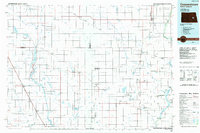
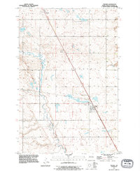
 2011 Pingree2011 Print · USGSCovers Edmunds, including Pingree, Stutsman County, and other nearby areas
 - 2014 Map of Pingree, 2014 Print
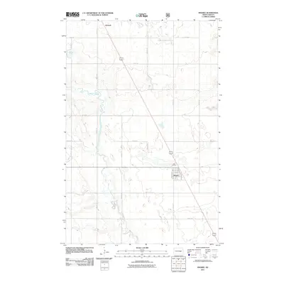
 2014 Pingree2014 Print · USGSCovers Edmunds, including Pingree, Stutsman County, and other nearby areas
 - 2017 Map of Pingree, 2017 Print
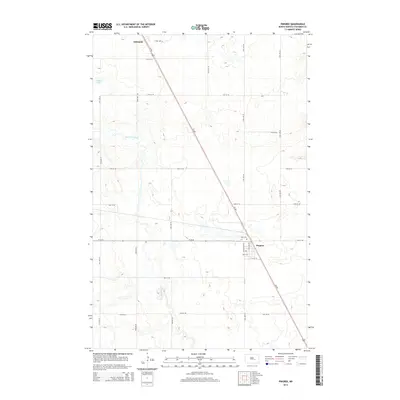
 2017 Pingree2017 Print · USGSCovers Edmunds, including Pingree, Stutsman County, and other nearby areas
 - 2020 Map of Pingree, 2020 Print
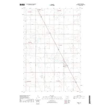
 2020 Pingree2020 Print · USGSCovers Edmunds, including Pingree, Stutsman County, and other nearby areas
 - 2024 Map of Pingree, 2024 Print
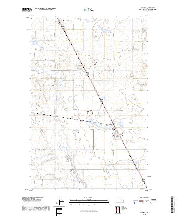 2024 Pingree2024 Print · USGSThe prairie landscape of Stutsman County is captured here in the contemporary era, centered on the rural communities of Pingree and Edmunds. Researchers can trace local heritage at Rest Cem or navigate the wetland complexes of the Stutsman County Waterfowl Production Area.
End of results
Showing maps 1-13 of 13
Top cities near Edmunds
- Carrington historical maps
- Bordulac historical maps
- Buchanan historical maps
- Pingree historical maps
- Melville historical maps
Frequently asked questions
- What are the different types of historical maps available for Edmunds?
- What is the oldest map of Edmunds?
- Where can I purchase historical maps of Edmunds for my home or office?
- Where can I download high-res historical maps of Edmunds?
- Are there historical topographic maps available for Edmunds?
- Is there historical aerial imagery available for Edmunds?
- Where are historical maps of Edmunds sourced from?