Old Maps of Logan, North Dakota for Hiking & Exploration
Hike through history with 13 historic maps of Logan. Explore old trails, ghost towns, and forgotten backroads — perfect for outdoor adventurers and local explorers.
- Rediscover forgotten places: Map out old mining camps, roads, and footpaths that no longer exist on modern maps.
- Layer with modern tools: Combine with LiDAR or satellite views to plan hikes through historical terrain.
- Made for exploration: Popular among hikers, overlanders, and local history lovers.
Use these maps to find adventure and explore the hidden past of Logan.
Logan, ND maps
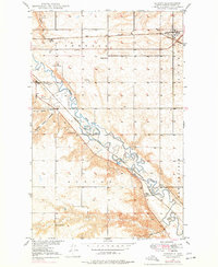
(13)- 1929 Map of Sawyer
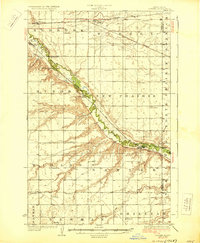 1929 Sawyer1929 Print · USGSWard County's prairie and river valleys are captured here in the late 1920s as the rail-and-river economy flourished. Genealogists can trace rural school districts like School No 2 and School No 3 or locate early river crossings such as the Saugstad Bridge.2 unique versions available
 - 1948 Map of Surrey, 1981 Print
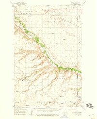
 1948 Surrey1981 Print · USGSWard County's prairie landscape is captured here in the mid-twentieth century as the rail lines and river valleys defined local life. Researchers can locate vanished landmarks like Bell Sch No 3, the Town Hall in Surrey, and trace the path of the Soo Line.
 - 1949 Map of Surrey
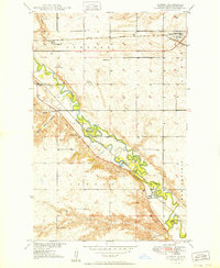 1949 Surrey1949 Print · USGSSurrey and the surrounding Ward County prairies are shown here just after the war, as the Souris River valley supported a network of small schools. Genealogists and historians can trace the locations of Bell Sch No 2, Town Hall, and the Great Northern rail lines.
 - 1949 Map of Sawyer, 1959 Print
 1949 Sawyer1959 Print · USGSWard County in the late 1940s was defined by the winding Souris River and a robust network of rural schoolhouses and railroads. Family historians can trace local landmarks like Black Butte, search for ancestors at Sawyer Cem, and locate early community hubs like Bell Sch No 2.
 - 1954 Map of Minot, 1964 Print
 1954 Minot1964 Print · USGSNorth Dakota's northern borderlands are captured here in the mid-fifties, showing a landscape defined by the winding Souris River and the rise of the Turtle Mountains. Genealogists can locate family-named sidings like Hurd Siding and Truro Siding alongside the vital Great Northern rail lines.3 unique versions available
 - 1958 Map of Minot
 1958 Minot1958 Print · USGSNorthern North Dakota is shown here during the mid-fifties, dominated by the rail-driven growth of Minot and the surrounding grain-farming prairie. Genealogists can trace family connections to border towns like Westhope or explore the vast reaches of the Turtle Mountains.
 - 1971 Map of Surrey
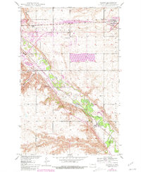
 1971 Surrey1971 Print · USGSSurrey and the surrounding Ward County prairie are captured here during the early 1970s, showcasing the area's vital rail and river networks. Genealogists and local historians can locate early rural landmarks like School No 1, Logan, and the banks of the Souris River.
 - 1980 Map of Minot
 1980 Minot1980 Print · USGSNorth Dakota's northern plains are shown at the start of the 1980s, centered on the strategic rail and river hub of Minot. Genealogists and local historians can trace the transition from rural grain stops like Berthold to the significant military presence at Minot Air Force Base.
 - 2011 Map of Surrey, 2011 Print
 2011 Surrey2011 Print · USGSCovers Logan, including Minot, Surrey, and other nearby areas
 - 2014 Map of Surrey, 2014 Print
 2014 Surrey2014 Print · USGSCovers Logan, including Minot, Surrey, and other nearby areas
 - 2017 Map of Surrey, 2017 Print
 2017 Surrey2017 Print · USGSCovers Logan, including Minot, Surrey, and other nearby areas
 - 2020 Map of Surrey, 2020 Print
 2020 Surrey2020 Print · USGSCovers Logan, including Minot, Surrey, and other nearby areas
 - 2024 Map of Surrey, 2024 Print
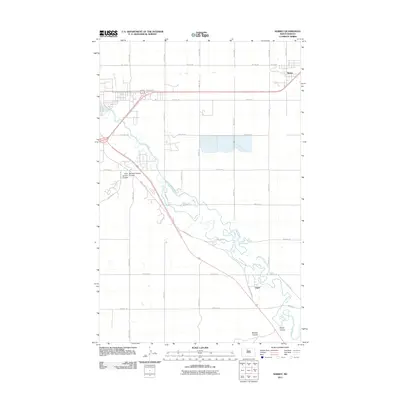
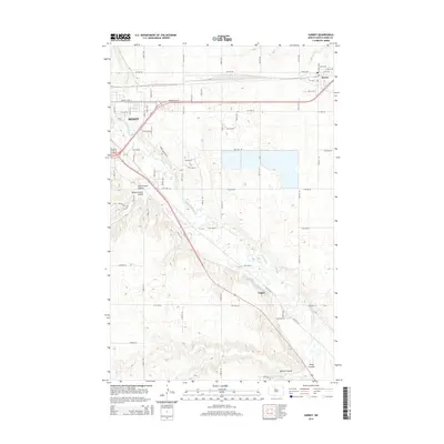
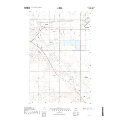
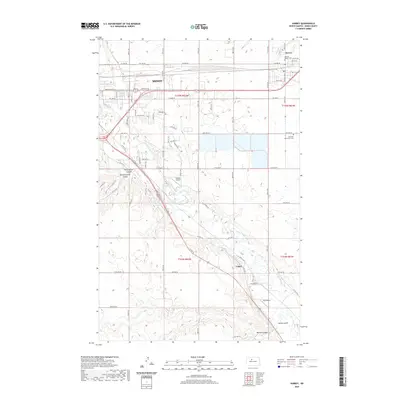
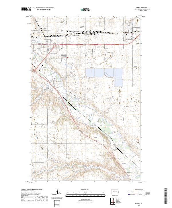 2024 Surrey2024 Print · USGSSurrey and the eastern outskirts of Minot are captured here along the path of the BNSF Railway and the winding Souris River. Family historians can locate the German Baptist Cem and Fairview Mennonite Cem among the distinctive coulees of Ward County.
End of results
Showing maps 1-13 of 13
Top cities near Logan
- Minot historical maps
- Velva historical maps
- Surrey historical maps
- Sawyer historical maps
- Norwich historical maps
Frequently asked questions
- What are the different types of historical maps available for Logan?
- What is the oldest map of Logan?
- Where can I purchase historical maps of Logan for my home or office?
- Where can I download high-res historical maps of Logan?
- Are there historical topographic maps available for Logan?
- Is there historical aerial imagery available for Logan?
- Where are historical maps of Logan sourced from?