2020s Maps of Wood Lake District, North Dakota
Explore 18 historic maps of Wood Lake District from the 2020s. These maps offer a rare glimpse into what life looked like during the 2020s — showing old roads, neighborhoods, homes, and landmarks that have changed or disappeared over time.
Whether you're researching your family's past, planning a metal detecting trip, or studying how Wood Lake District's landscape evolved across the 2020s, these high-resolution maps are a powerful tool for exploring the history of this region.
- Focus on a specific era: All maps on this page are from the 2020s, giving you a focused view of this time period.
- See what’s changed: Compare century-old streets, trails, and buildings to today's modern landscape using overlays and satellite layers.
- Research with precision: Use these maps for genealogy, historical research, land use analysis, or educational projects.
- View, download, or print: Maps are fully viewable online in high resolution, and can be downloaded or printed for your own records.
Start exploring Wood Lake District's history through authentic maps from the 2020s. This is your window into the past.
Wood Lake District, ND maps
(18)- 2020 Map of Horseshoe Lake, 2020 Print
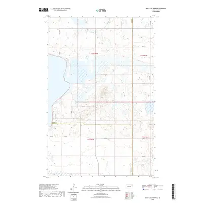
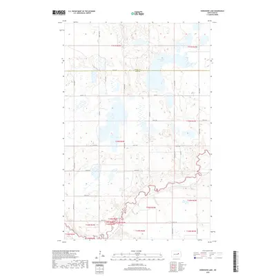 2020 Horseshoe Lake2020 Print · USGSCovers Wood Lake District, including Eddy County, Benson County, and other nearby areas
 - 2020 Map of Brantford NE, 2020 Print
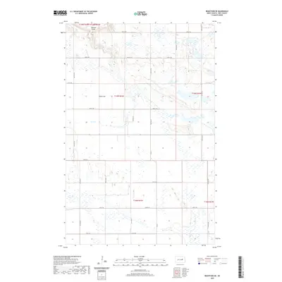 2020 Brantford NE2020 Print · USGSCovers Wood Lake District, including Eddy County, United States, and other nearby areas
 - 2020 Map of Tokio SW, 2020 Print
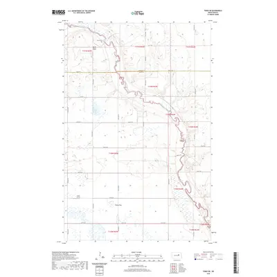 2020 Tokio SW2020 Print · USGSCovers Wood Lake District, including Fort Totten District, Eddy County, and other nearby areas
 - 2020 Map of Tokio, 2020 Print
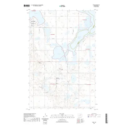 2020 Tokio2020 Print · USGSCovers Wood Lake District, including St. Michael District, Tokio, and other nearby areas
 - 2020 Map of Warwick, 2020 Print
 2020 Warwick2020 Print · USGSCovers Wood Lake District, including Warwick, Eddy County, and other nearby areas
 - 2020 Map of Hamar, 2020 Print
 2020 Hamar2020 Print · USGSCovers Wood Lake District, including Hamar, Nelson County, and other nearby areas
 - 2020 Map of Fort Totten, 2020 Print
 2020 Fort Totten2020 Print · USGSCovers Wood Lake District, including St. Michael District, Fort Totten District, and other nearby areas
 - 2020 Map of Free Peoples Lake, 2020 Print
 2020 Free Peoples Lake2020 Print · USGSCovers Wood Lake District, including St. Michael District, Benson County, and other nearby areas
 - 2020 Map of Devils Lake Mountain, 2020 Print
 2020 Devils Lake Mountain2020 Print · USGSCovers Wood Lake District, including Nelson County, Benson County, and other nearby areas
 - 2024 Map of Devils Lake Mountain, 2024 Print
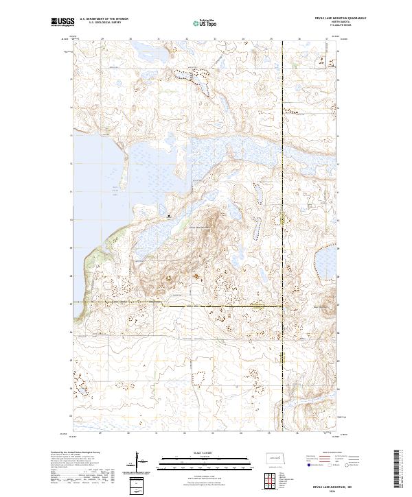 2024 Devils Lake Mountain2024 Print · USGSEast Devils Lake and the high ground of the Missouri Coteau are documented here in the early twenty-first century. Genealogists and local historians can locate Odessa Cem and trace the boundaries of the Ramsey County Waterfowl Production Area.
 - 2024 Map of Tokio SW, 2024 Print
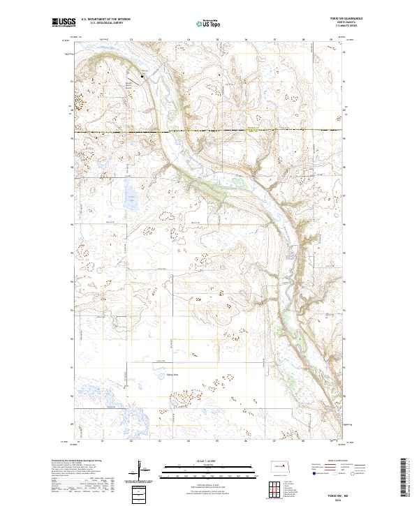 2024 Tokio SW2024 Print · USGSEddy County at the dawn of the 2020s shows a landscape defined by the winding Sheyenne River and protected prairie wetlands. Genealogists and local historians can locate the Bourett Cem and trace the bounds of the Eddy County Waterfowl Production Area.
 - 2024 Map of Warwick, 2024 Print
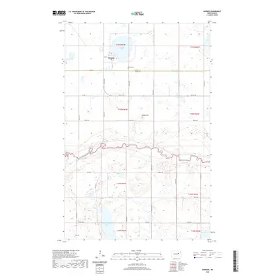
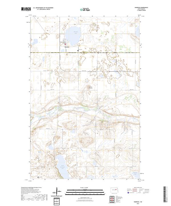 2024 Warwick2024 Print · USGSWarwick and the surrounding prairie of Benson and Eddy counties are documented in this recent survey of the North Dakota landscape. Genealogists can locate Warwick Cem and Knox Cem, while nature enthusiasts can trace the Sheyenne River and Shin Bone Lake.
 - 2024 Map of Horseshoe Lake, 2024 Print
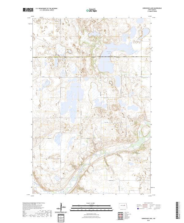 2024 Horseshoe Lake2024 Print · USGSEddy County in the mid-2020s reveals a landscape of prairie potholes and conservation areas shaped by the winding Sheyenne River. Researchers can trace local land patterns and access routes like Co Hwy 6 or the wetlands near Horseshoe Lake.
 - 2024 Map of Tokio, 2024 Print
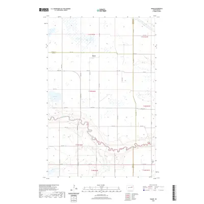
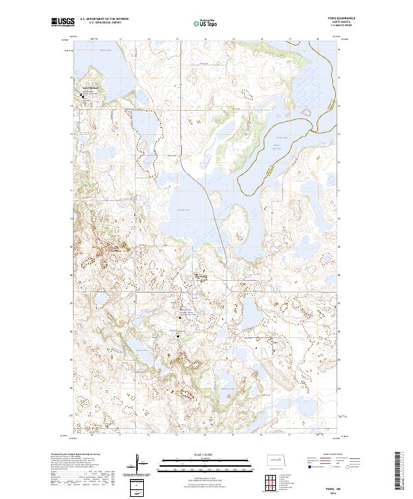 2024 Tokio2024 Print · USGSBenson County is documented here in the early 2020s, showing a landscape defined by prairie wetlands and the rural communities of Saint Michael and Tokio. Genealogists can trace local roots at the Saint Michaels Catholic Church Cem and the Bdecan Presbyterian Cem.
 - 2024 Map of Brantford NE, 2024 Print
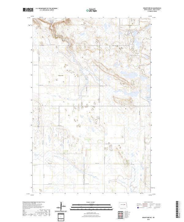 2024 Brantford NE2024 Print · USGSEddy County’s prairie pothole landscape is captured in this modern survey of the North Dakota plains. Researchers can locate conserved lands at the Eddy County Waterfowl Production Area and trace rural access along Tiffany Flats and Co Rd 2.
 - 2024 Map of Free Peoples Lake, 2024 Print
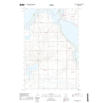
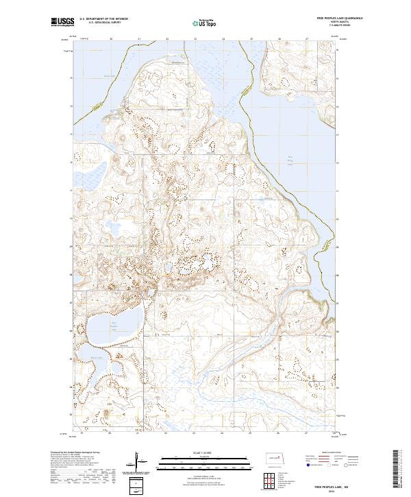 2024 Free Peoples Lake2024 Print · USGSBenson County's prairie and wetland landscape is captured here during the 2020s, showing the complex hydrology of the region. Researchers can trace the shifting shorelines of Devils Lake and locate protected lands like the Benson County Waterfowl Production Area.
 - 2024 Map of Hamar, 2024 Print
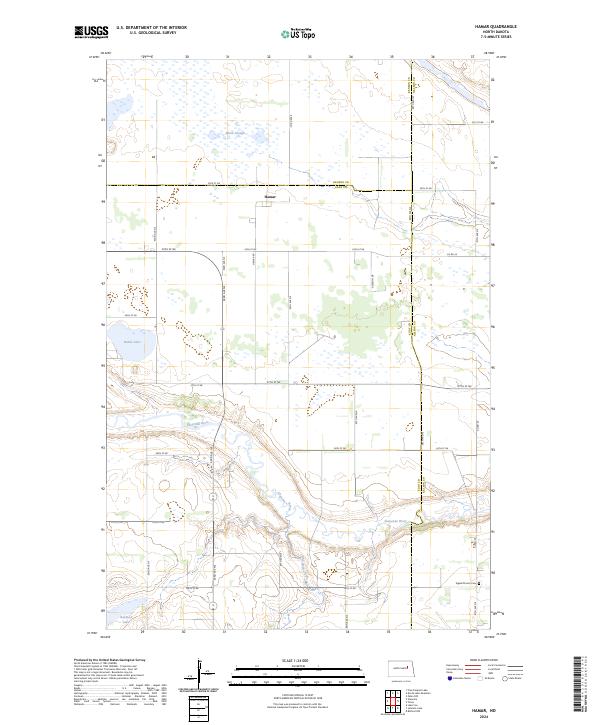 2024 Hamar2024 Print · USGSIn the modern prairie landscape of Eddy and Benson counties, this map shows a region defined by the Sheyenne River valley and conservation lands. Genealogists and local historians can locate Hamar, the Sigdal Church Cem, and natural landmarks like Battle Lake and Black Slough.
 - 2024 Map of Fort Totten, 2024 Print
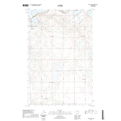
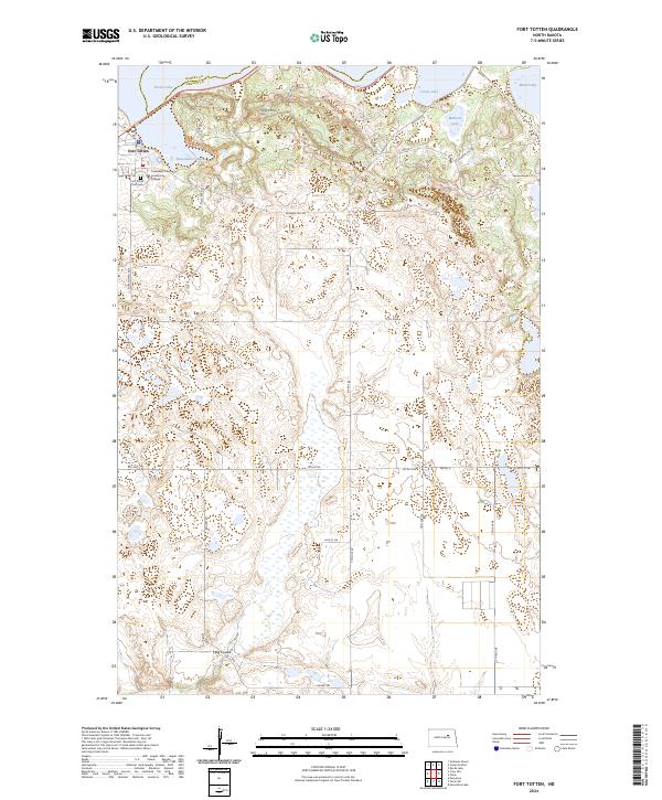 2024 Fort Totten2024 Print · USGSFort Totten and the southern shores of Devils Lake are documented in this contemporary survey of the North Dakota plains. Researchers can locate Fort Totten Post Cem, Cankdeska Cikana Community College, and the sprawling Sullys Hill National Game Preserve.
End of results
Showing maps 1-18 of 18
Top cities near Wood Lake District
Top neighborhoods of Wood Lake District
Frequently asked questions
- What are the different types of historical maps available for Wood Lake District?
- What is the oldest map of Wood Lake District?
- Where can I purchase historical maps of Wood Lake District for my home or office?
- Where can I download high-res historical maps of Wood Lake District?
- Are there historical topographic maps available for Wood Lake District?
- Is there historical aerial imagery available for Wood Lake District?
- Where are historical maps of Wood Lake District sourced from?