Old Maps of Hamar, North Dakota for Genealogy
Trace your family roots with 12 historic maps of Hamar. These high-res maps reveal old neighborhoods, homesites, landmarks, and streets — helping you uncover where your ancestors lived and how the area evolved over time.
- Explore historic neighborhoods: Identify where your relatives may have lived in the 1800s or 1900s.
- Compare maps over time: Trace the changes in streets, buildings, and landmarks for multi-generational research.
- Perfect for genealogy & ancestry research: Used by family historians and researchers to map out lineage and migration.
These maps are an incredible resource for exploring your personal connection to Hamar's past.
Hamar, ND maps
(12)- 1930 Map of Hamar
 1930 Hamar1930 Print · USGSBenson County and the Sheyenne River valley are captured here in the late 1920s as the rail-and-river economy flourished. Genealogists can trace the rural communities around Warwick and Hamar, locating landmarks like the Jerusalem Ch and Lookout Mtn.
 - 1952 Map of New Rockford, 1968 Print
 1952 New Rockford1968 Print · USGSThe North Dakota prairie during the mid-1950s was a landscape of rail-dependent farm towns and vast wildlife refuges. Genealogists and historians can trace the foundations of local communities at Fort Totten Indian Agenc, Concordia Lutheran Church, and the Bowdon Country Church and Cemetery.3 unique versions available
 - 1956 Map of New Rockford
 1956 New Rockford1956 Print · USGSMid-century central North Dakota is captured here as a landscape of prairie rail towns and vast wildlife refuges. Trace family roots at the Bowdon Country Church and Cemetery or locate the old St Michael Mission School and Fort Totten.
 - 1962 Map of Hamar, 1964 Print
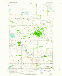 1962 Hamar1964 Print · USGSEddy and Benson counties at the start of the 1960s reveal a landscape of prairie townships and river bends. Genealogists and local historians can trace the Great Northern rail line through Hamar or locate family sites near Sigdal Ch and Battle Lake.
 - 1962 Map of Hamar, 1965 Print
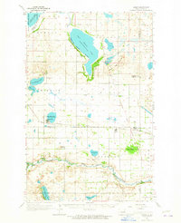 1962 Hamar1965 Print · USGSBenson and Ramsey counties are depicted in the early sixties as a network of lakeside settlements and prairie rail lines. You can locate rural schoolhouses and family landmarks like Sigdal Ch, the Indian Mound, and cemeteries in Warwick and Hamar.
 - 1971 Map of New Rockford, 1974 Print
 1971 New Rockford1974 Print · USGSCentral North Dakota was a landscape of wildlife refuges and rail-linked agricultural towns in the early seventies. Genealogists and local historians can trace the development of the Fort Totten Indian Reservation and locate old railway points like Maddock, Hamal, and Kloten.
 - 1985 Map of Stump Lake
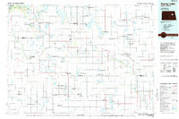 1985 Stump Lake1985 Print · USGSNorth Dakota's lake country in the mid-eighties shows a landscape shaped by the Burlington Northern rail line and tribal lands. Genealogists and historians can locate family sites near Warwick, Tokio, and the Fort Totten Indian Reservation.2 unique versions available
 - 2011 Map of Hamar, 2011 Print
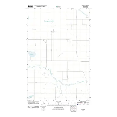 2011 Hamar2011 Print · USGSThe rural settlement of Hamar and the winding Sheyenne River define this North Dakota landscape as it appeared in the early 21st century. Genealogists and local historians can trace the section-line roads and family-named water features like Battle Lake, Bakstad Lake, and Hass Dam.
 - 2014 Map of Hamar, 2014 Print
 2014 Hamar2014 Print · USGSIn the early twenty-first century, this corner of the North Dakota prairie remained a quiet agricultural hub where three counties meet. Researchers can trace the rural landscape around Hamar and follow the riparian corridor of the Sheyenne River and Bakstad Lake.
 - 2018 Map of Hamar, 2018 Print
 2018 Hamar2018 Print · USGSThe rural landscapes of Benson, Eddy, and Nelson Counties are captured here in the late twenty-tens. Genealogists and local historians can trace the course of the Sheyenne River and identify landmarks like Hamar, Battle Lake, and the wetland waters of Black Slough.
 - 2020 Map of Hamar, 2020 Print
 2020 Hamar2020 Print · USGSBenson and Eddy counties meet along the winding Sheyenne River in this modern survey of the North Dakota prairie. Genealogists can locate Sigdal Church Cem and the settlement of Hamar among the wetlands of Black Slough.
 - 2024 Map of Hamar, 2024 Print
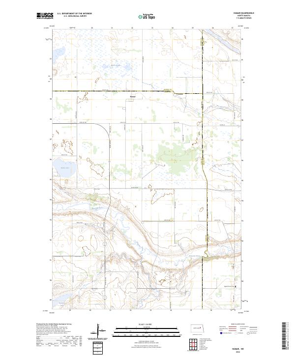 2024 Hamar2024 Print · USGSIn the modern prairie landscape of Eddy and Benson counties, this map shows a region defined by the Sheyenne River valley and conservation lands. Genealogists and local historians can locate Hamar, the Sigdal Church Cem, and natural landmarks like Battle Lake and Black Slough.
End of results
Showing maps 1-12 of 12
Top cities near Hamar
- Lakota historical maps
- Tolna historical maps
- Crary historical maps
- Warwick historical maps
- Bartlett historical maps
Frequently asked questions
- What are the different types of historical maps available for Hamar?
- What is the oldest map of Hamar?
- Where can I purchase historical maps of Hamar for my home or office?
- Where can I download high-res historical maps of Hamar?
- Are there historical topographic maps available for Hamar?
- Is there historical aerial imagery available for Hamar?
- Where are historical maps of Hamar sourced from?