2000s (21st Century) Maps of Milton Township, Ohio
Explore 20 historic maps of Milton Township from the 2000s (21st Century). These maps offer a rare glimpse into what life looked like during the 2000s — showing old roads, neighborhoods, homes, and landmarks that have changed or disappeared over time.
Whether you're researching your family's past, planning a metal detecting trip, or studying how Milton Township's landscape evolved across the 2000s, these high-resolution maps are a powerful tool for exploring the history of this region.
- Focus on a specific era: All maps on this page are from the 2000s, giving you a focused view of this time period.
- See what’s changed: Compare century-old streets, trails, and buildings to today's modern landscape using overlays and satellite layers.
- Research with precision: Use these maps for genealogy, historical research, land use analysis, or educational projects.
- View, download, or print: Maps are fully viewable online in high resolution, and can be downloaded or printed for your own records.
Start exploring Milton Township's history through authentic maps from the 2000s. This is your window into the past.
Milton Township, OH maps
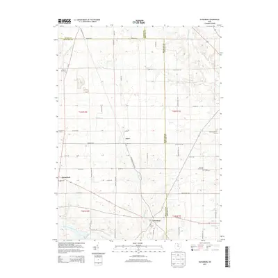
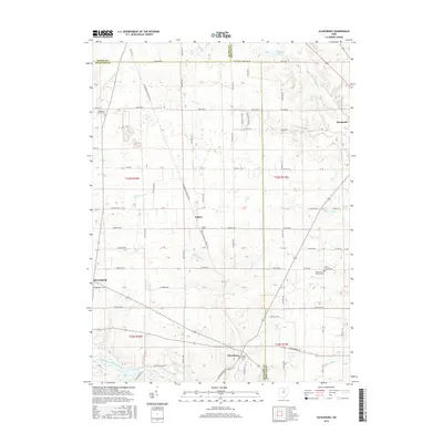
(20)- 2010 Map of Olivesburg, 2010 Print
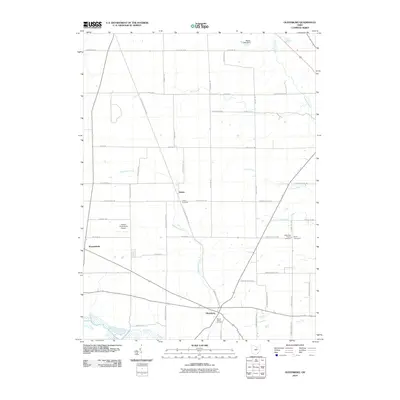 2010 Olivesburg2010 Print · USGSCovers Milton Township, including Savannah, Blooming Grove Township, and other nearby areas
 - 2010 Map of Ashland North, 2010 Print
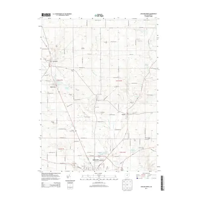
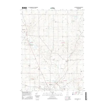
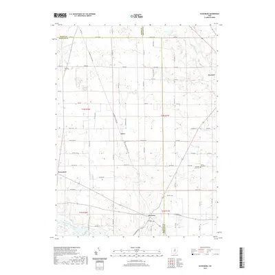
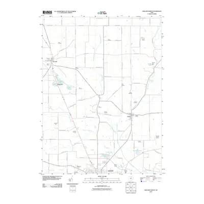 2010 Ashland North2010 Print · USGSCovers Milton Township, including Ashland, Bailey Lakes, and other nearby areas
 - 2010 Map of Ashland South, 2010 Print
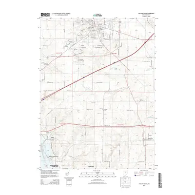
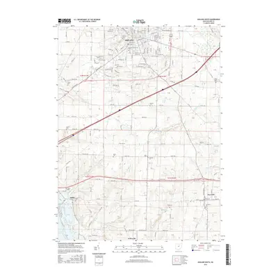
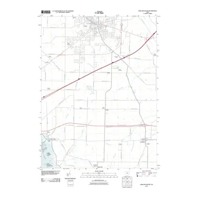 2010 Ashland South2010 Print · USGSCovers Milton Township, including Ashland, Hayesville, and other nearby areas
 - 2010 Map of Pavonia, 2010 Print
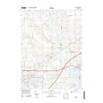
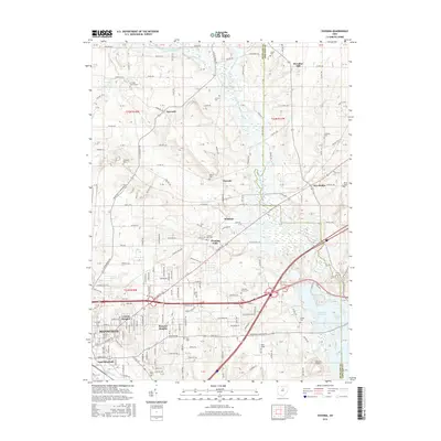
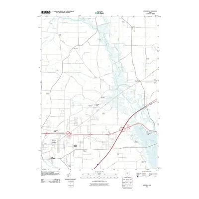 2010 Pavonia2010 Print · USGSCovers Milton Township, including Mansfield, Madison Township, and other nearby areas
 - 2013 Map of Olivesburg, 2013 Print
 2013 Olivesburg2013 Print · USGSCovers Milton Township, including Savannah, Blooming Grove Township, and other nearby areas
 - 2013 Map of Pavonia, 2013 Print
 2013 Pavonia2013 Print · USGSCovers Milton Township, including Mansfield, Madison Township, and other nearby areas
 - 2013 Map of Ashland North, 2013 Print
 2013 Ashland North2013 Print · USGSCovers Milton Township, including Ashland, Bailey Lakes, and other nearby areas
 - 2013 Map of Ashland South, 2013 Print
 2013 Ashland South2013 Print · USGSCovers Milton Township, including Ashland, Hayesville, and other nearby areas
 - 2016 Map of Olivesburg, 2016 Print
 2016 Olivesburg2016 Print · USGSCovers Milton Township, including Savannah, Blooming Grove Township, and other nearby areas
 - 2016 Map of Pavonia, 2016 Print
 2016 Pavonia2016 Print · USGSCovers Milton Township, including Mansfield, Madison Township, and other nearby areas
 - 2016 Map of Ashland North, 2016 Print
 2016 Ashland North2016 Print · USGSCovers Milton Township, including Ashland, Bailey Lakes, and other nearby areas
 - 2016 Map of Ashland South, 2016 Print
 2016 Ashland South2016 Print · USGSCovers Milton Township, including Ashland, Hayesville, and other nearby areas
 - 2019 Map of Ashland North, 2019 Print
 2019 Ashland North2019 Print · USGSCovers Milton Township, including Ashland, Bailey Lakes, and other nearby areas
 - 2019 Map of Olivesburg, 2019 Print
 2019 Olivesburg2019 Print · USGSCovers Milton Township, including Savannah, Blooming Grove Township, and other nearby areas
 - 2019 Map of Ashland South, 2019 Print
 2019 Ashland South2019 Print · USGSCovers Milton Township, including Ashland, Hayesville, and other nearby areas
 - 2019 Map of Pavonia, 2019 Print
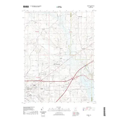 2019 Pavonia2019 Print · USGSCovers Milton Township, including Mansfield, Madison Township, and other nearby areas
 - 2023 Map of Olivesburg, 2023 Print
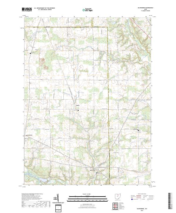 2023 Olivesburg2023 Print · USGSRichland County's rural crossroads and family homesteads are preserved in this recent survey of the Olivesburg area. Researchers can trace ancestral sites through Mount Olivet Cem, the Reformed Church, and the quiet village centers of Adario and Shenandoah.
 - 2023 Map of Pavonia, 2023 Print
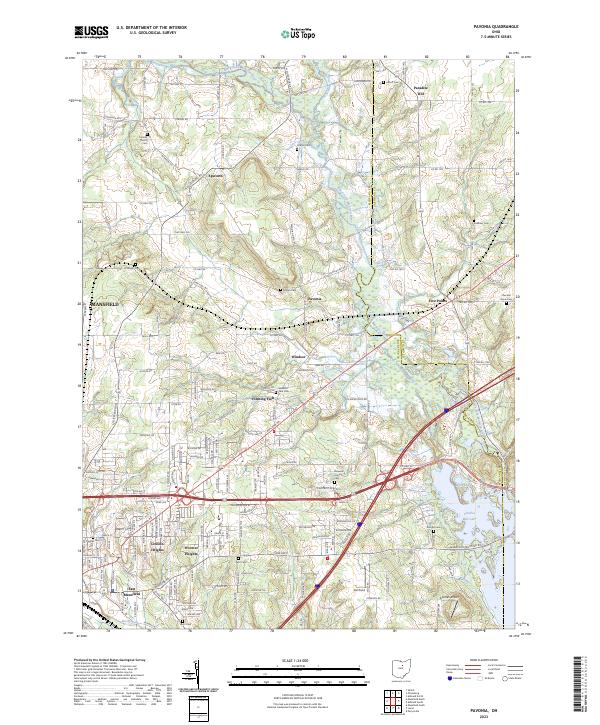 2023 Pavonia2023 Print · USGSRichland and Ashland counties are shown in this contemporary study of the area east of Mansfield. Researchers can trace rural cemeteries and community centers like Pavonia, Paradise Hill, and the Franklin Church alongside the waters of Charles Mill Lake.
 - 2023 Map of Ashland North, 2023 Print
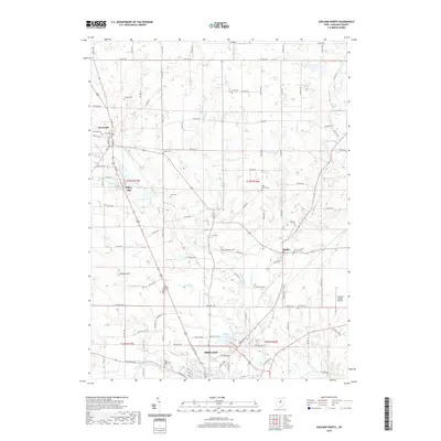
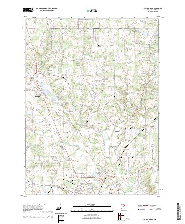 2023 Ashland North2023 Print · USGSNorth of Ashland in the early twenty-first century, this landscape preserves a traditional network of township roads and rural burial grounds. Genealogists can trace family names at Savannah Cem, Saint Lukes Cem, and Rickert Cem while exploring the banks of Leidigh Mill Creek.
 - 2023 Map of Ashland South, 2023 Print
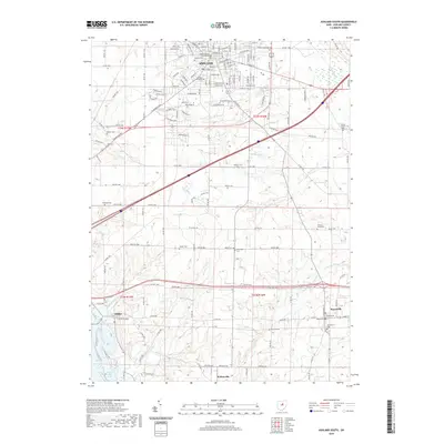
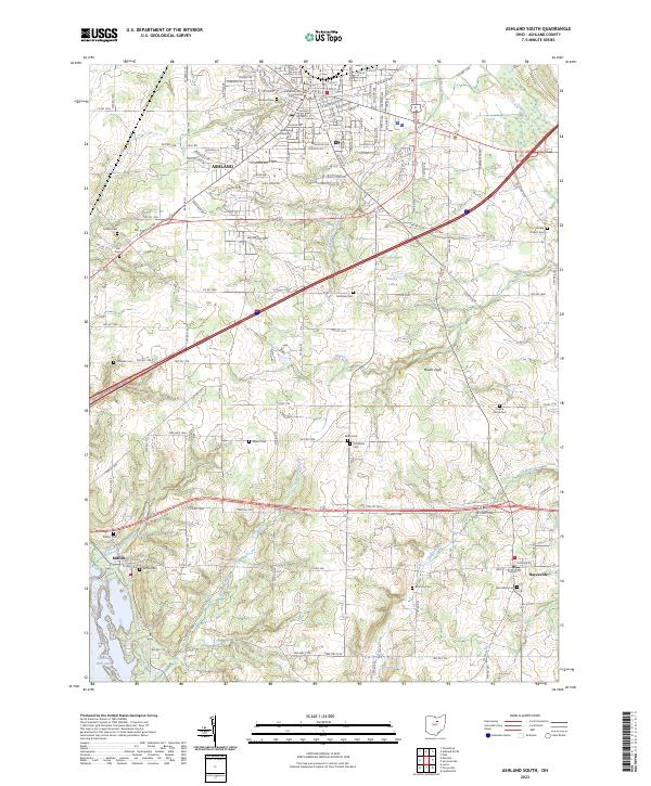 2023 Ashland South2023 Print · USGSThe county seat at Ashland and the Ashland University campus anchor this 2023 survey of central Ohio. Genealogists and historians can trace numerous rural burial sites like McAdoo Cem and Sultzer Cem alongside the waters of Charles Mill Lake.
End of results
Showing maps 1-20 of 20
Top cities near Milton Township
- Mansfield historical maps
- Ashland historical maps
- Ontario historical maps
- Lexington historical maps
- Loudonville historical maps
- New London historical maps
See more
Top neighborhoods of Milton Township
Frequently asked questions
- What are the different types of historical maps available for Milton Township?
- What is the oldest map of Milton Township?
- Where can I purchase historical maps of Milton Township for my home or office?
- Where can I download high-res historical maps of Milton Township?
- Are there historical topographic maps available for Milton Township?
- Is there historical aerial imagery available for Milton Township?
- Where are historical maps of Milton Township sourced from?