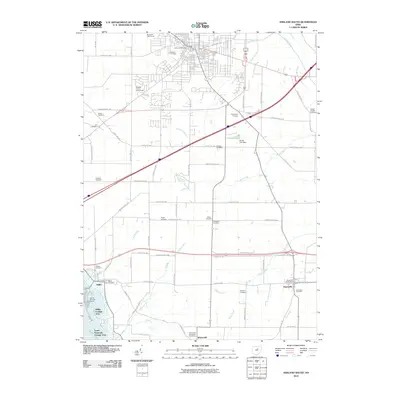
2010 Map of Ashland South
USGS Topo · Published 2010About this map
Ashland Cemetery and the Ashland County Fairgrounds anchor the northern reaches of this map, where the urban grid meets the agricultural landscape of Ashland County. The southern half is defined by the recreational developments at Charles Mill Lake Marina and the seasonal residential clusters of Mifflin Cottage Area and South Peninsula Cottage Area. These lakeside communities contrast with the more traditional rural crossroads of Widowville and Hayesville.
Find a feature on this map
79 named features on this map. Tap any name to fly to it.
Don’t see what you’re looking for? This feature index may not catch every label — zoom into the map to look around manually.
Map Details
Editions of this 2010 Ashland South Map
This is the sole edition of this map. No revisions or reprints were ever made.
Other maps of this area

1906 · West Salem
USGS Topo · 1:62,500

1908 · Ashland
USGS Topo · 1:62,500

1908 · West Salem
USGS Topo · 1:62,500

1912 · Loudonville
USGS Topo · 1:62,500

1912 · Perrysville
USGS Topo · 1:62,500

1914 · Loudonville
USGS Topo · 1:62,500

1915 · Perrysville
USGS Topo · 1:62,500

1943 · Loudonville
USGS Topo · 1:62,500

1944 · Perrysville
USGS Topo · 1:62,500

1950 · Marion
USGS Topo · 1:250,000
Featured Places
- Ashland, OH
- Hayesville, OH
- Mifflin, OH
- South Peninsula Cottage Area, OH
- Carpenters Mobile Home Park, Ashland