2000s (21st Century) Maps of Lodi Township, Ohio
Explore 22 historic maps of Lodi Township from the 2000s (21st Century). These maps offer a rare glimpse into what life looked like during the 2000s — showing old roads, neighborhoods, homes, and landmarks that have changed or disappeared over time.
Whether you're researching your family's past, planning a metal detecting trip, or studying how Lodi Township's landscape evolved across the 2000s, these high-resolution maps are a powerful tool for exploring the history of this region.
- Focus on a specific era: All maps on this page are from the 2000s, giving you a focused view of this time period.
- See what’s changed: Compare century-old streets, trails, and buildings to today's modern landscape using overlays and satellite layers.
- Research with precision: Use these maps for genealogy, historical research, land use analysis, or educational projects.
- View, download, or print: Maps are fully viewable online in high resolution, and can be downloaded or printed for your own records.
Start exploring Lodi Township's history through authentic maps from the 2000s. This is your window into the past.
Lodi Township, OH maps
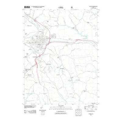
(22)- 2002 Map of Athens, 2005 Print
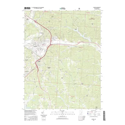
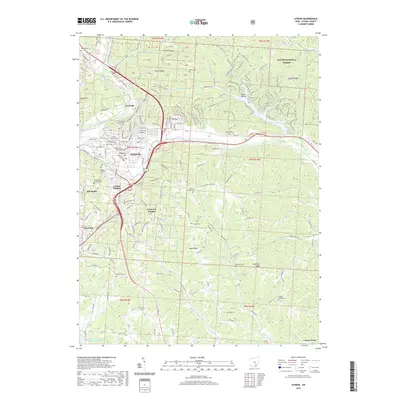
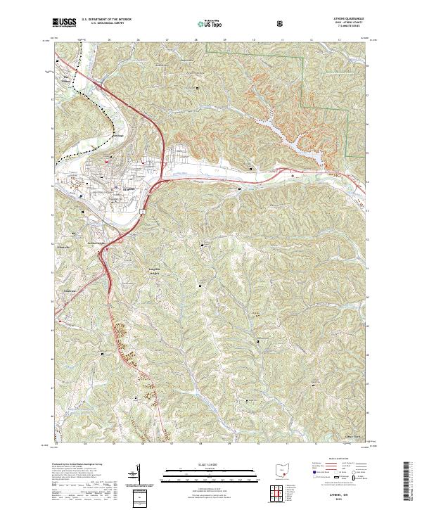
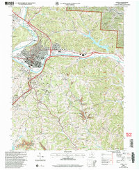 2002 Athens2005 Print · USGSAthens and its surrounding ridges come alive in this early 2000s survey, showing the city's evolution alongside the Hocking River. Genealogists and historians can trace family cemeteries like Bassett Cem and McCole Cem or explore the institutional footprints of Ohio University and the State Hospital.
 - 2002 Map of Stewart, 2006 Print
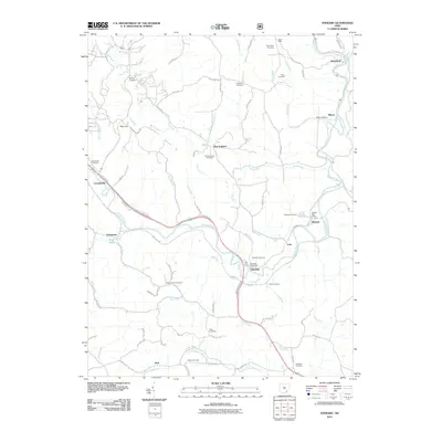
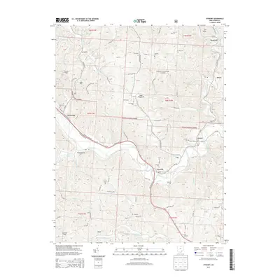
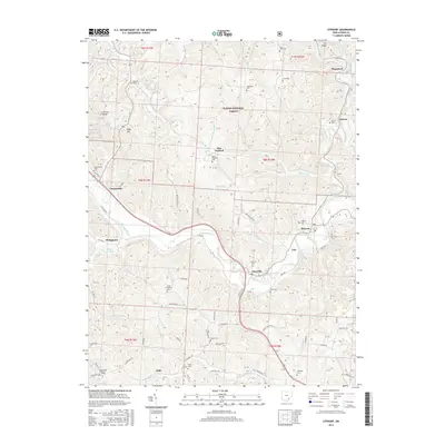
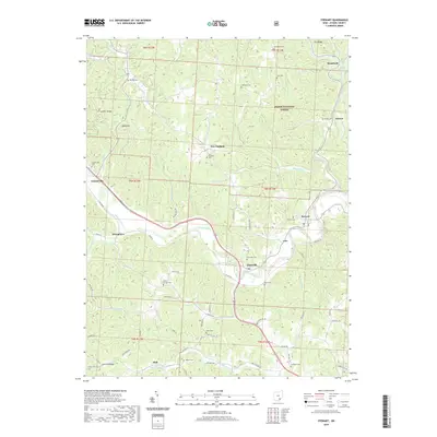
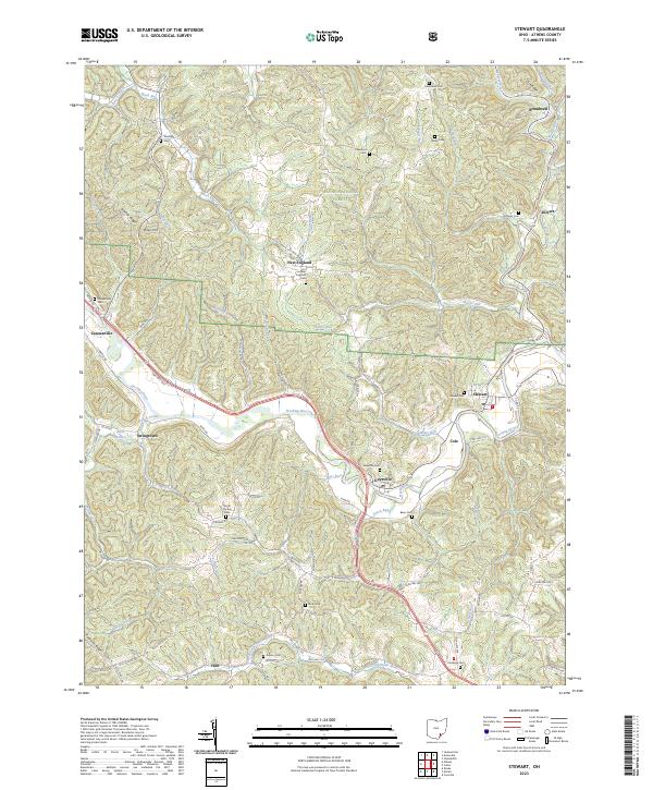
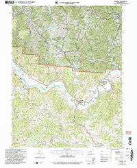 2002 Stewart2006 Print · USGSAthens County at the start of the millennium shows a landscape defined by the winding Hocking River and the expansion of the Wayne National Forest. Genealogists can trace family names at Sand Rock Cemetery and locate community hubs like Asbury Church and Broadwell.
 - 2010 Map of Shade, 2010 Print
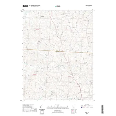
 2010 Shade2010 Print · USGSCovers Lodi Township, including Burlingham, Pratts Fork, and other nearby areas
 - 2010 Map of Alfred, 2010 Print
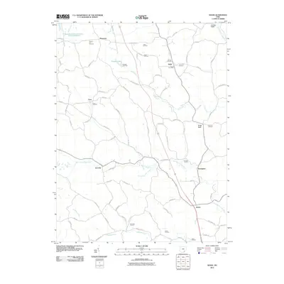
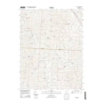
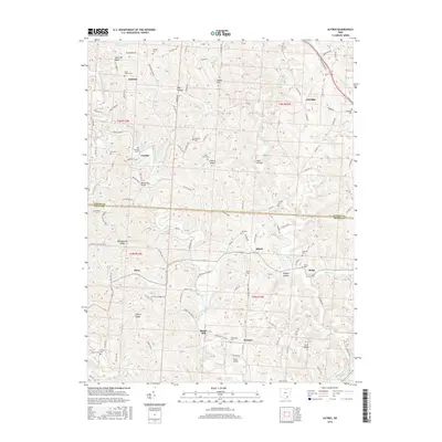
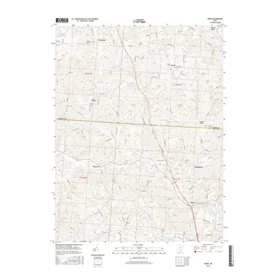
 2010 Alfred2010 Print · USGSCovers Lodi Township, including Sumner, Alfred, and other nearby areas
 - 2011 Map of Athens, 2011 Print
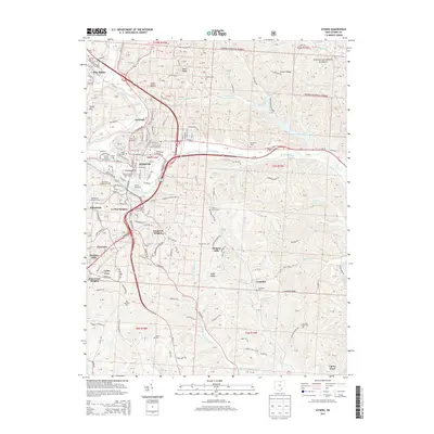
 2011 Athens2011 Print · USGSCovers Lodi Township, including Athens, Longview Heights, and other nearby areas
 - 2011 Map of Stewart, 2011 Print
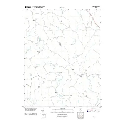
 2011 Stewart2011 Print · USGSCovers Lodi Township, including Carthage Township, Bern Township, and other nearby areas
 - 2013 Map of Shade, 2013 Print
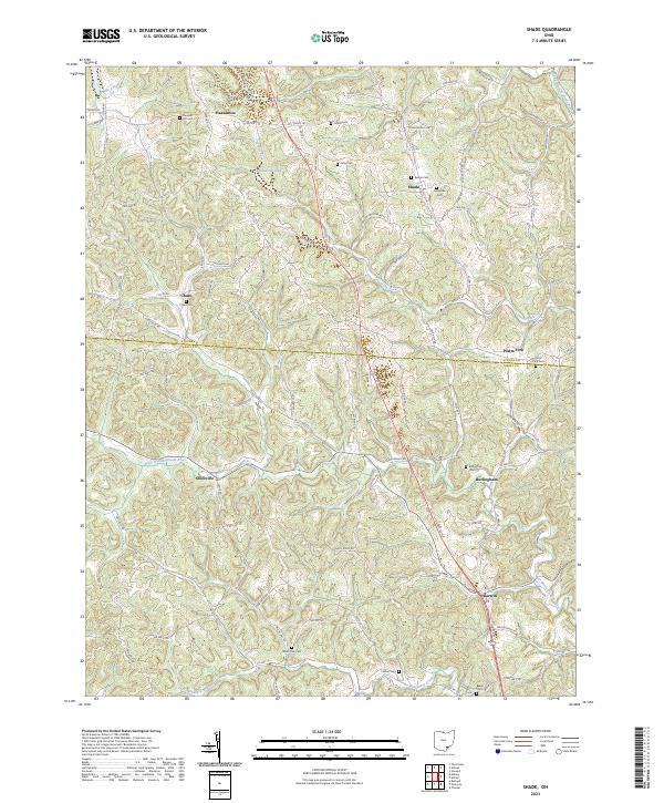
 2013 Shade2013 Print · USGSCovers Lodi Township, including Burlingham, Pratts Fork, and other nearby areas
 - 2013 Map of Athens, 2013 Print
 2013 Athens2013 Print · USGSCovers Lodi Township, including Athens, Longview Heights, and other nearby areas
 - 2013 Map of Alfred, 2013 Print
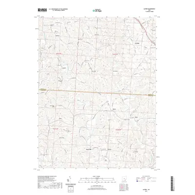
 2013 Alfred2013 Print · USGSCovers Lodi Township, including Sumner, Alfred, and other nearby areas
 - 2013 Map of Stewart, 2013 Print
 2013 Stewart2013 Print · USGSCovers Lodi Township, including Carthage Township, Bern Township, and other nearby areas
 - 2016 Map of Alfred, 2016 Print
 2016 Alfred2016 Print · USGSCovers Lodi Township, including Sumner, Alfred, and other nearby areas
 - 2016 Map of Stewart, 2016 Print
 2016 Stewart2016 Print · USGSCovers Lodi Township, including Carthage Township, Bern Township, and other nearby areas
 - 2016 Map of Shade, 2016 Print
 2016 Shade2016 Print · USGSCovers Lodi Township, including Burlingham, Pratts Fork, and other nearby areas
 - 2017 Map of Athens, 2017 Print
 2017 Athens2017 Print · USGSCovers Lodi Township, including Athens, Longview Heights, and other nearby areas
 - 2019 Map of Alfred, 2019 Print
 2019 Alfred2019 Print · USGSCovers Lodi Township, including Sumner, Alfred, and other nearby areas
 - 2019 Map of Stewart, 2019 Print
 2019 Stewart2019 Print · USGSCovers Lodi Township, including Carthage Township, Bern Township, and other nearby areas
 - 2019 Map of Athens, 2019 Print
 2019 Athens2019 Print · USGSCovers Lodi Township, including Athens, Longview Heights, and other nearby areas
 - 2019 Map of Shade, 2019 Print
 2019 Shade2019 Print · USGSCovers Lodi Township, including Burlingham, Pratts Fork, and other nearby areas
 - 2023 Map of Alfred, 2023 Print
 2023 Alfred2023 Print · USGSThe border of Athens and Meigs counties comes into focus in this recent survey of rural Ohio farm and ridge land. Researchers can trace family history through numerous burial sites like Cherry Ridge Cem and Fish Cem or locate the small landing strip at Miller Airport.
 - 2023 Map of Stewart, 2023 Print
 2023 Stewart2023 Print · USGSAthens County's river valleys and forested ridges are documented here in the early twenty-first century. Genealogists can locate family burial sites at Guysville Cem and New England Cem along the winding Hocking River.
 - 2023 Map of Shade, 2023 Print
 2023 Shade2023 Print · USGSThe borderlands of Athens and Meigs counties come into focus in this contemporary survey of southeastern Ohio's rural townships. Researchers can trace family history through numerous small burial grounds like Jerseyville Cem, Burson Cem, and Baker Cem.
 - 2023 Map of Athens, 2023 Print
 2023 Athens2023 Print · USGSAthens and its surrounding hills appear here in the early 2020s, showing the modern footprint of the Hocking River valley. Researchers can pinpoint Ohio University landmarks, the Athens County Courthouse, and numerous family cemeteries like Hunter Cem.
End of results
Showing maps 1-22 of 22
Top cities near Lodi Township
- Athens historical maps
- Nelsonville historical maps
- The Plains historical maps
- Chester historical maps
- Pomeroy historical maps
- Chauncey historical maps
See more
Top neighborhoods of Lodi Township
- Pratts Fork historical maps
- Anthony historical maps
- Garden historical maps
- Carsey Town historical maps
- Shade historical maps
- Hull historical maps
Frequently asked questions
- What are the different types of historical maps available for Lodi Township?
- What is the oldest map of Lodi Township?
- Where can I purchase historical maps of Lodi Township for my home or office?
- Where can I download high-res historical maps of Lodi Township?
- Are there historical topographic maps available for Lodi Township?
- Is there historical aerial imagery available for Lodi Township?
- Where are historical maps of Lodi Township sourced from?