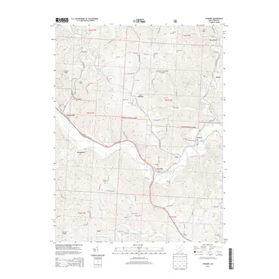
2013 Map of Stewart
USGS Topo · Published 2013About this map
The Hocking River winds through the heart of Athens County, shaping a landscape defined by sharp ridges and deep runs. This 2013 survey documents the enduring rural character of Carthage and Rome Townships, where small settlements like Stewart and Guysville serve as local anchors along the river valley. The map is particularly valuable for genealogists, as it identifies numerous family and community burial grounds, including the Stewart Cemetery, Carthage Cem, and the remote Kilvert Cem.
Find a feature on this map
124 named features on this map. Tap any name to fly to it.
Don’t see what you’re looking for? This feature index may not catch every label — zoom into the map to look around manually.
Map Details
Editions of this 2013 Stewart Map
This is the sole edition of this map. No revisions or reprints were ever made.
Other maps of this area

1903 · Athens
USGS Topo · 1:62,500

1904 · Chesterhill
USGS Topo · 1:62,500

1905 · Athens
USGS Topo · 1:62,500
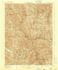
1906 · Chesterhill
USGS Topo · 1:62,500

1907 · Pomeroy
USGS Topo · 1:62,500

1907 · Keno
USGS Topo · 1:62,500

1947 · Columbus
USGS Topo · 1:250,000

1949 · Clarksburg
USGS Topo · 1:250,000

1956 · Clarksburg
USGS Topo · 1:250,000
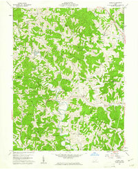
1960 · Alfred
USGS Topo · 1:24,000