Old Maps of Reeds, Ohio for Hiking & Exploration
Hike through history with 13 historic maps of Reeds. Explore old trails, ghost towns, and forgotten backroads — perfect for outdoor adventurers and local explorers.
- Rediscover forgotten places: Map out old mining camps, roads, and footpaths that no longer exist on modern maps.
- Layer with modern tools: Combine with LiDAR or satellite views to plan hikes through historical terrain.
- Made for exploration: Popular among hikers, overlanders, and local history lovers.
Use these maps to find adventure and explore the hidden past of Reeds.
Reeds, OH maps
(13)- 1928 Map of Higginsport
 1928 Higginsport1928 Print · USGSThe Kentucky side of the Ohio River is captured in the late twenties just as the rail-and-river economy flourished. Researchers can trace the riverbank rail lines of the Chesapeake and Ohio or locate early rural landmarks like Locust Grove Sch and the town of Augusta.
 - 1931 Map of Higginsport, 1948 Print
 1931 Higginsport1948 Print · USGSThe Ohio River corridor and Brown County hinterlands come alive in this early twentieth-century survey of the borderlands near Georgetown. Local historians can trace long-gone rural schoolhouses like McFadden School or locate the historic Brown County Infirmary and the Abandoned Columbus and Sardinia Road.
 - 1952 Map of Higginsport, 1953 Print
 1952 Higginsport1953 Print · USGSThe Ohio River borderlands of Kentucky and Ohio come into focus in the early 1950s, showing the riverside rail and road networks. Genealogists and local historians can trace family locations near Augusta, Dover, and the Rosemont Cem on the Kentucky shore.
 - 1957 Map of Huntington, 1966 Print
 1957 Huntington1966 Print · USGSThe industrial heart of the Ohio River valley is captured here in the mid-sixties, showing the growth of Huntington and Ashland. Researchers can trace the extensive rail networks of the Chesapeake and Ohio RR and locate sites like the Chief Cornstalk Hunting Ground.3 unique versions available
 - 1960 Map of Huntington
 1960 Huntington1960 Print · USGSThe tri-state river valley thrived in the late fifties as a hub of heavy industry and Appalachian rail transit. Genealogists and historians can trace the connection between river towns like Ashland and Portsmouth or locate family homesteads near Coleman Ridge.
 - 1961 Map of Higginsport, 1963 Print
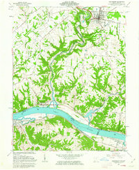 1961 Higginsport1963 Print · USGSThe Ohio River corridor comes alive in the early sixties as it winds between the riverfront communities of Higginsport, Augusta, and Dover. Researchers can trace the Chesapeake and Ohio rail line, rural family cemeteries like Sallee Cemetery, and the civic layout of Georgetown.3 unique versions available
 - 1986 Map of Maysville
 1986 Maysville1986 Print · USGSThe Ohio River valley in the mid-eighties reveals a landscape of industrial river towns and sprawling public lands spanning the Kentucky and Ohio border. Researchers can trace the rail corridors of the Chesapeake and Ohio Railway or locate landmarks like Confidence Cemetery and the Fleming-Mason Airport.
 - 1991 Map of Maysville
 1991 Maysville1991 Print · USGSThe Ohio River valley at the turn of the nineties reveals a landscape of river-bend towns and dense forest preserves. Trace local history through landmark sites like Confidence Cemetery, the small-town streets of Ripley, and the river reaches of Manchester Island No 1.
 - 2010 Map of Higginsport, 2010 Print
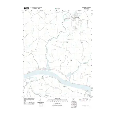 2010 Higginsport2010 Print · USGSThe Ohio River waterfront and the rural uplands of Brown County are shown here in detail during the early 21st century. Researchers can trace family history through numerous small burial sites like Sallee Cemetery and Norman Cemetery, or explore the riverfront at Higginsport and Bowers Landing.
 - 2013 Map of Higginsport, 2013 Print
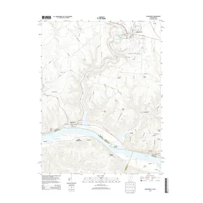 2013 Higginsport2013 Print · USGSThe Ohio River borderlands between Georgetown and Higginsport are documented here in the early twenty-first century. Genealogists and historians can trace local family landmarks through sites like the Hill Family Cem, Old Georgetown Cem, and Shinkles Ridge.
 - 2016 Map of Higginsport, 2016 Print
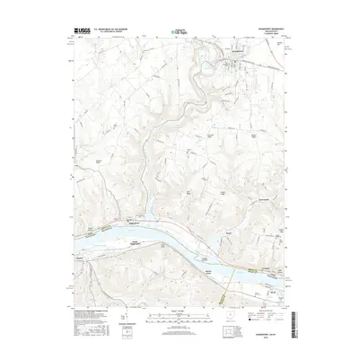 2016 Higginsport2016 Print · USGSThe Ohio River valley and the southern reaches of Brown County are documented here in the early twenty-first century. Genealogists and local researchers can trace numerous family and community sites, from the Higginsport Cem to the Hill Family Cem and the riverfront at Levanna.
 - 2019 Map of Higginsport, 2019 Print
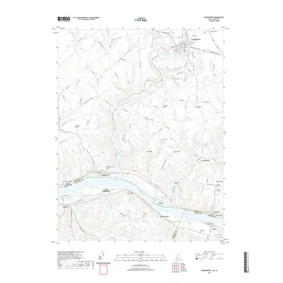 2019 Higginsport2019 Print · USGSThe Ohio River valley near the Kentucky border comes into focus in this late twenty-first-century survey. Trace local heritage through riverside towns like Higginsport and Dover, or find family sites at Sallee Cem and the Brown County Courthouse.
 - 2023 Map of Higginsport, 2023 Print
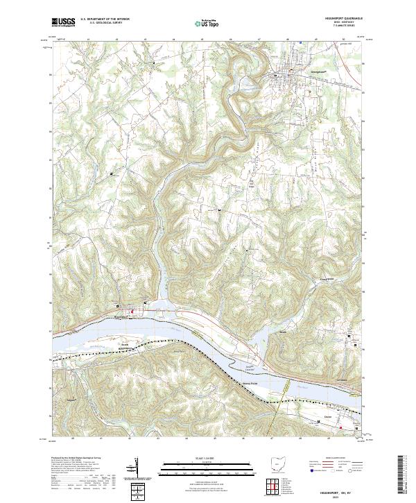 2023 Higginsport2023 Print · USGSThe Ohio River valley at the Ohio-Kentucky border remains a landscape of river towns and family-held ridges. Local historians can trace family ties through several rural sites like Thomas Cemetery, the Brown County Courthouse, and Shinkles Ridge.
End of results
Showing maps 1-13 of 13
Top cities near Reeds
- Maysville historical maps
- Georgetown historical maps
- Mount Orab historical maps
- Bethel historical maps
- Ripley historical maps
- Aberdeen historical maps
See more
Frequently asked questions
- What are the different types of historical maps available for Reeds?
- What is the oldest map of Reeds?
- Where can I purchase historical maps of Reeds for my home or office?
- Where can I download high-res historical maps of Reeds?
- Are there historical topographic maps available for Reeds?
- Is there historical aerial imagery available for Reeds?
- Where are historical maps of Reeds sourced from?