Old Maps of Sardinia, Ohio for Metal Detecting
Plan your next treasure hunt with 25 historic maps of Sardinia. Find old homesites, ghost towns, trails, and gathering spots that may be lost to time — perfect for identifying promising metal detecting locations.
- Locate forgotten sites: Uncover places like long-lost settlements, abandoned rail lines, or gathering spots.
- Plan better hunts: Use map overlays combined with LiDAR or satellite views to narrow in on historically rich areas.
- Made for detectorists: Thousands of hobbyists use these maps to discover relics, coins, and hidden history.
Use these historic maps to boost your research and find new opportunities beneath the surface of Sardinia.
Sardinia, OH maps
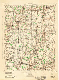
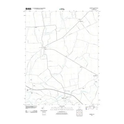
(25)- 1917 Map of Sardinia, 1946 Print
 1917 Sardinia1946 Print · USGSSouthwestern Ohio at the close of the Great War era reveals a landscape of thriving rural schoolhouses and bustling railroad junctions. Genealogists can trace family footprints across dozens of local districts like Richland School or near the Ursuline Convent and Mount Orab.
 - 1928 Map of Higginsport
 1928 Higginsport1928 Print · USGSThe Kentucky side of the Ohio River is captured in the late twenties just as the rail-and-river economy flourished. Researchers can trace the riverbank rail lines of the Chesapeake and Ohio or locate early rural landmarks like Locust Grove Sch and the town of Augusta.
 - 1931 Map of Higginsport, 1948 Print
 1931 Higginsport1948 Print · USGSThe Ohio River corridor and Brown County hinterlands come alive in this early twentieth-century survey of the borderlands near Georgetown. Local historians can trace long-gone rural schoolhouses like McFadden School or locate the historic Brown County Infirmary and the Abandoned Columbus and Sardinia Road.
 - 1944 Map of Sardinia
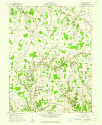
 1944 Sardinia1944 Print · USGSSouthwestern Ohio during the Second World War was a landscape of dense rail networks and dozens of small school districts. Genealogists can trace family footprints through numerous rural landmarks like Richland Sch, Bardwell Corners, and the historic Ursuline Convent.
 - 1947 Map of Columbus, 1948 Print
 1947 Columbus1948 Print · USGSCentral Ohio in the late 1940s is captured in this survey, showing the post-war transition of its rail hubs and military airfield expansions. Genealogists and historians can trace the paths of the Ohio Canal, the Pennsylvania RR lines, and the Camp Sherman Military Reservation.
 - 1957 Map of Huntington, 1966 Print
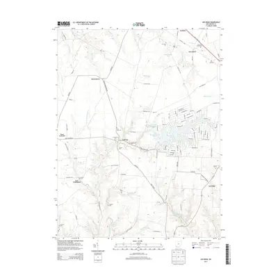
 1957 Huntington1966 Print · USGSThe industrial heart of the Ohio River valley is captured here in the mid-sixties, showing the growth of Huntington and Ashland. Researchers can trace the extensive rail networks of the Chesapeake and Ohio RR and locate sites like the Chief Cornstalk Hunting Ground.3 unique versions available
 - 1960 Map of Huntington
 1960 Huntington1960 Print · USGSThe tri-state river valley thrived in the late fifties as a hub of heavy industry and Appalachian rail transit. Genealogists and historians can trace the connection between river towns like Ashland and Portsmouth or locate family homesteads near Coleman Ridge.
 - 1961 Map of Columbus
 1961 Columbus1961 Print · USGSCentral and Southern Ohio are captured here in the early sixties, as the region's industrial rail hubs and military bases reached their peak. Genealogists and historians can trace the transition from urban Columbus to rural townships along the Scioto River, locating Lockbourne USAF and old junctions like Washington Court House.
 - 1961 Map of Sardinia, 1962 Print
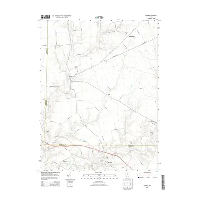
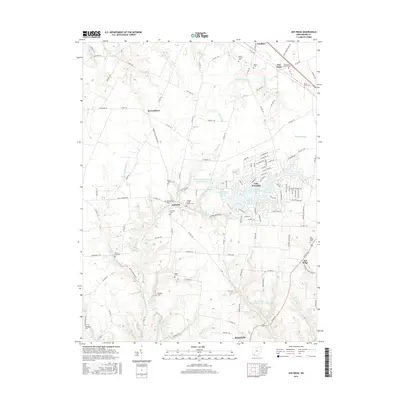
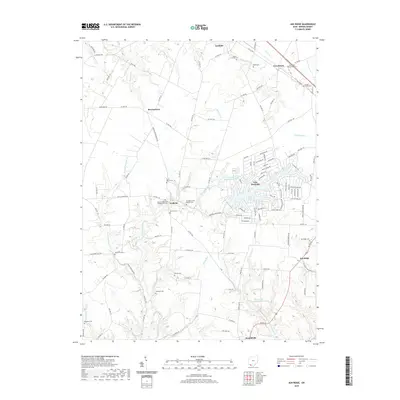
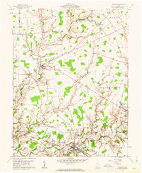 1961 Sardinia1962 Print · USGSThe rural border of Brown and Highland counties comes into sharp focus during the early sixties, centered on the railroad hub at Sardinia. Researchers can trace old family lines through sites like Hollowtown Cem and locate industrial remnants like the Brickkilns near Mowrystown.4 unique versions available
 - 1961 Map of Ash Ridge, 1962 Print
 1961 Ash Ridge1962 Print · USGSSouthern Ohio's agricultural and creek-carved landscape is shown here in the early sixties, centered on the crossroads of Arnheim and Ash Ridge. Genealogists can trace numerous family burial grounds and country churches like Biehn Ch, St Marys Cem, and Mt Carmel Cem.3 unique versions available
 - 1962 Map of Columbus
 1962 Columbus1962 Print · USGSCentral Ohio during the early sixties reveals a transition from the industrial corridors of Columbus to the forested ridges of the south. Genealogists and historians can trace the rail networks of the Baltimore & Ohio RR and find local landmarks like Washington Court House and Camp Sherman Military Reservation.
 - 1967 Map of Columbus, 1969 Print
 1967 Columbus1969 Print · USGSCentral Ohio during the late sixties serves as a vital corridor of rail and aviation, from the industrial streets of Springfield to the hangar lines of Lockbourne Air Force Base. Genealogists and researchers can trace the growth of towns like Circleville and London or locate rural landmarks such as St Paul church and the London Correctional Institution.2 unique versions available
 - 1986 Map of Hillsboro
 1986 Hillsboro1986 Print · USGSThe rural landscapes of Highland and Clinton counties appear in the mid-eighties as a busy corridor of railroads and regional airports. Genealogists and historians can trace old community centers like Reesville and Starbucktown alongside significant landmarks like Wilmington College and Fort Hill State Memorial.2 unique versions available
 - 1986 Map of Maysville
 1986 Maysville1986 Print · USGSThe Ohio River valley in the mid-eighties reveals a landscape of industrial river towns and sprawling public lands spanning the Kentucky and Ohio border. Researchers can trace the rail corridors of the Chesapeake and Ohio Railway or locate landmarks like Confidence Cemetery and the Fleming-Mason Airport.
 - 1991 Map of Maysville
 1991 Maysville1991 Print · USGSThe Ohio River valley at the turn of the nineties reveals a landscape of river-bend towns and dense forest preserves. Trace local history through landmark sites like Confidence Cemetery, the small-town streets of Ripley, and the river reaches of Manchester Island No 1.
 - 2010 Map of Ash Ridge, 2010 Print
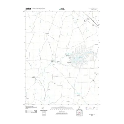 2010 Ash Ridge2010 Print · USGSCovers Sardinia, including Russellville, Arnheim, and other nearby areas
 - 2010 Map of Sardinia, 2010 Print
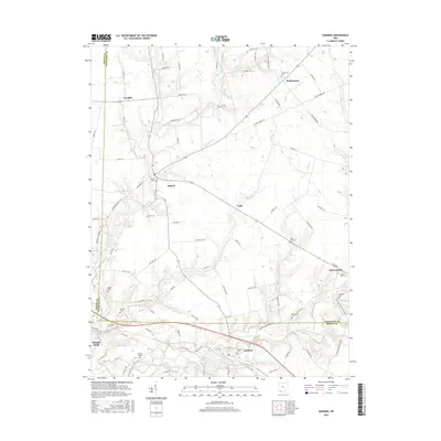
 2010 Sardinia2010 Print · USGSCovers Sardinia, including Mowrystown, Gath, and other nearby areas
 - 2013 Map of Ash Ridge, 2013 Print
 2013 Ash Ridge2013 Print · USGSCovers Sardinia, including Russellville, Arnheim, and other nearby areas
 - 2013 Map of Sardinia, 2013 Print
 2013 Sardinia2013 Print · USGSCovers Sardinia, including Mowrystown, Gath, and other nearby areas
 - 2016 Map of Sardinia, 2016 Print
 2016 Sardinia2016 Print · USGSCovers Sardinia, including Mowrystown, Gath, and other nearby areas
 - 2016 Map of Ash Ridge, 2016 Print
 2016 Ash Ridge2016 Print · USGSCovers Sardinia, including Russellville, Arnheim, and other nearby areas
 - 2019 Map of Ash Ridge, 2019 Print
 2019 Ash Ridge2019 Print · USGSCovers Sardinia, including Russellville, Arnheim, and other nearby areas
 - 2019 Map of Sardinia, 2019 Print
 2019 Sardinia2019 Print · USGSCovers Sardinia, including Mowrystown, Gath, and other nearby areas
 - 2023 Map of Sardinia, 2023 Print
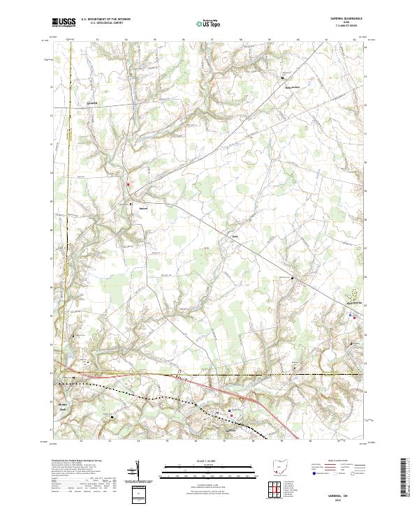 2023 Sardinia2023 Print · USGSSouthern Ohio's agricultural heartland is documented here in the early twenty-first century as it spans the Brown and Highland county line. Researchers can locate numerous local burial grounds including Bratton Cem, Higgins Cem, and the Ebenezer Cem.
 - 2023 Map of Ash Ridge, 2023 Print
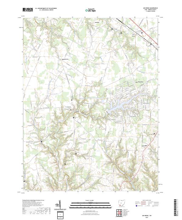 2023 Ash Ridge2023 Print · USGSThis modern survey of northern Brown County captures a landscape where centuries-old rural traditions meet contemporary lakeside development. Genealogists can trace family heritage through numerous burial sites like Saint Marys Cem, the Biehn Cem, and the Methodist African American Cem.
End of results
Showing maps 1-25 of 25
Top cities near Sardinia
- Hillsboro historical maps
- Georgetown historical maps
- Mount Orab historical maps
- Williamsburg historical maps
- New Market historical maps
- Lynchburg historical maps
See more
Frequently asked questions
- What are the different types of historical maps available for Sardinia?
- What is the oldest map of Sardinia?
- Where can I purchase historical maps of Sardinia for my home or office?
- Where can I download high-res historical maps of Sardinia?
- Are there historical topographic maps available for Sardinia?
- Is there historical aerial imagery available for Sardinia?
- Where are historical maps of Sardinia sourced from?