Old Maps of Hamilton, Ohio for Hiking & Exploration
Hike through history with 34 historic maps of Hamilton. Explore old trails, ghost towns, and forgotten backroads — perfect for outdoor adventurers and local explorers.
- Rediscover forgotten places: Map out old mining camps, roads, and footpaths that no longer exist on modern maps.
- Layer with modern tools: Combine with LiDAR or satellite views to plan hikes through historical terrain.
- Made for exploration: Popular among hikers, overlanders, and local history lovers.
Use these maps to find adventure and explore the hidden past of Hamilton.
Hamilton, OH maps
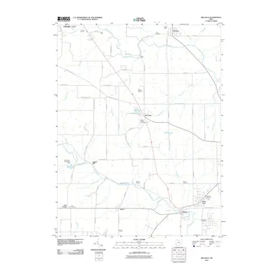
(34)- 1904 Map of Mason, 1958 Print
 1904 Mason1958 Print · USGSSouthwestern Ohio at the turn of the century is a landscape of thriving canal-era towns and expanding rail corridors. Genealogists and researchers can trace the early layouts of Union Village, Shaker Village, and the industrial riverside at Kings Mills.
 - 1906 Map of Mason, 1939 Print
 1906 Mason1939 Print · USGSWarren and Butler counties are shown here in the first decade of the 1900s, when electric railways were transforming rural life. Genealogists can trace family roots through old hubs like Union Village, Kings Mills, and Amanda Excello P O.2 unique versions available
 - 1915 Map of Hamilton
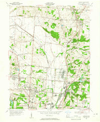
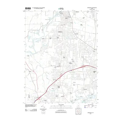
 1915 Hamilton1915 Print · USGSButler County was a bustling industrial and transit corridor in the years before the Great War, centered on the Miami River. Researchers can trace the path of the Miami and Erie Canal and locate historic sites like Shaker Village, Venice Ross P O, and the Biddinger School.2 unique versions available
 - 1917 Map of Hamilton, 1942 Print
 1917 Hamilton1942 Print · USGSButler County and the Miami River valley are captured here just before the era of major highway expansion, when industrial towns and electric railways defined the region. Researchers can locate the Shaker Village, trace the Miami and Erie Canal, or find family sites near Darrtown and Millville.
 - 1953 Map of Cincinnati, 1965 Print
 1953 Cincinnati1965 Print · USGSThe Ohio River valley and the industrial heartland of Indiana and Ohio are captured here during the mid-century peak of rail and river commerce. Genealogists and historians can trace connections between Cincinnati and outlying military sites like Camp Atterbury and Bakalar AFB.3 unique versions available
 - 1955 Map of Hamilton, 1956 Print
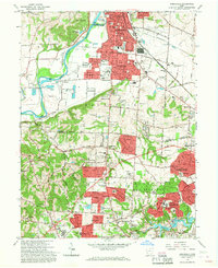
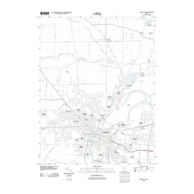
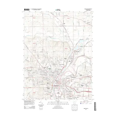
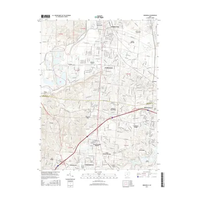
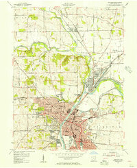 1955 Hamilton1956 Print · USGSHamilton and the Great Miami River valley are shown here in the mid-1950s during a period of robust industrial and rail activity. Researchers can trace the routes of the Pennsylvania Railroad or locate family sites like Stahlheber Ch and St Stephens Cem.
 - 1955 Map of Glendale, 1956 Print
 1955 Glendale1956 Print · USGSGreater Cincinnati was rapidly evolving in the mid-fifties as industrial rail hubs and suburban growth met the traditional farming landscape. Genealogists can locate several family burial grounds like Smizer Cem and old stops including Mauds Sta and Rialto.
 - 1955 Map of Millville, 1956 Print
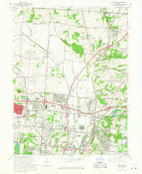
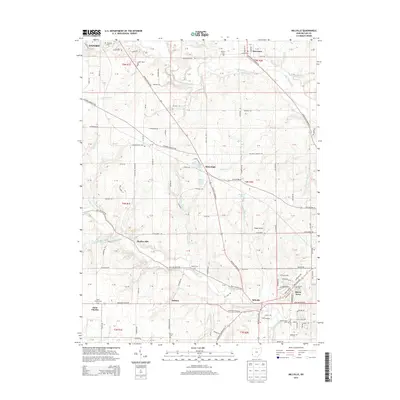
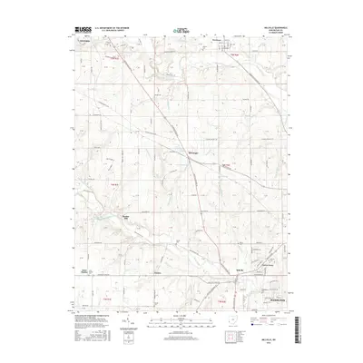
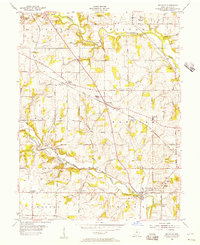 1955 Millville1956 Print · USGSButler County in the mid-fifties remains a landscape of rail-side hamlets and rural schoolhouses. Genealogists can trace family names through sites like Minton Cem and Bethel Cem or follow the old Baltimore and Ohio line through McGonigle.4 unique versions available
 - 1955 Map of Greenhills, 1957 Print
 1955 Greenhills1957 Print · USGSButler and Hamilton counties in the mid-fifties reveal a mix of established river towns and new suburban growth. Genealogists and local historians can trace family sites like Huston Cem and Werner Cem, or locate the original grounds of the St Francis Seminary.2 unique versions available
 - 1957 Map of Cincinnati
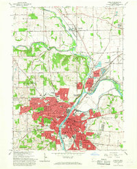
 1957 Cincinnati1957 Print · USGSThe Ohio River valley and its surrounding highlands thrived during the mid-fifties industrial peak, centered on the bustling Cincinnati and Dayton metropolitan hubs. Researchers can trace the extensive rail networks and military sites like Wright-Patterson AFB and Camp Atterbury.
 - 1965 Map of Greenhills, 1968 Print
 1965 Greenhills1968 Print · USGSGreater Cincinnati's northern suburbs were rapidly evolving in the mid-sixties as post-war growth transformed the Butler and Hamilton County line. Genealogists and local historians can trace family-named sites like Huston Cem and landmarks such as St Francis Seminary and Lake Gloria.4 unique versions available
 - 1965 Map of Glendale, 1968 Print
 1965 Glendale1968 Print · USGSThe northern Cincinnati suburbs and Butler County borderlands were rapidly modernizing in the mid-sixties as highways met historic rail junctions. Genealogists and local historians can trace family plots at Oak Hill Cemetery and locate older rail-stop communities like Rialto, Port Union, and West Chester Sta.4 unique versions available
 - 1965 Map of Hamilton, 1968 Print
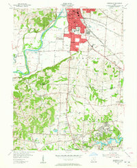
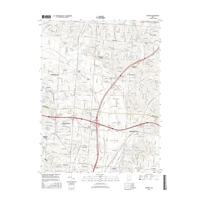
 1965 Hamilton1968 Print · USGSHamilton and the Great Miami River valley are shown here in the mid-sixties during a period of significant suburban and industrial growth. Genealogists can trace family plots in Greenwood Cemetery or locate long-standing institutions like Taft High Sch and the Fort Hamilton Monument.4 unique versions available
 - 1986 Map of Cincinnati
 1986 Cincinnati1986 Print · USGSGreater Cincinnati and its tri-state surrounds are captured here in the mid-eighties as suburban growth reached into the neighboring hills and river valleys. Researchers can trace the development of transit hubs like Greater Cincinnati International Airport and historic sites such as Spring Grove Cemetery.3 unique versions available
 - 2010 Map of Glendale, 2010 Print
 2010 Glendale2010 Print · USGSCovers Hamilton, including Fairfield, Forest Park, and other nearby areas
 - 2010 Map of Millville, 2010 Print
 2010 Millville2010 Print · USGSCovers Hamilton, including Oxford, Ross Township, and other nearby areas
 - 2010 Map of Greenhills, 2010 Print
 2010 Greenhills2010 Print · USGSCovers Hamilton, including Fairfield, Forest Park, and other nearby areas
 - 2010 Map of Hamilton, 2010 Print
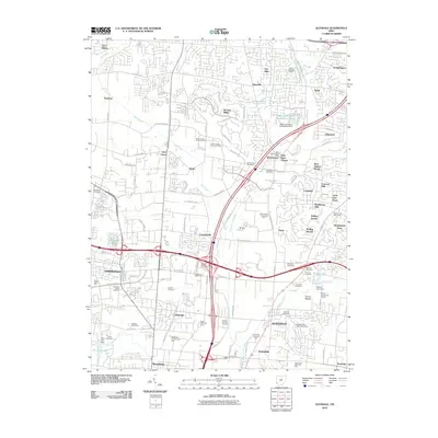
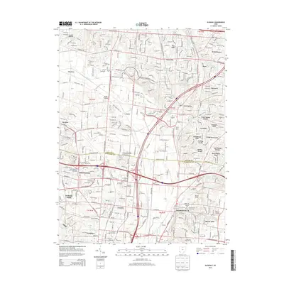
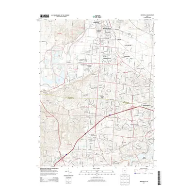
 2010 Hamilton2010 Print · USGSCovers Hamilton, including Ross Township, New Miami, and other nearby areas
 - 2013 Map of Glendale, 2013 Print
 2013 Glendale2013 Print · USGSCovers Hamilton, including Fairfield, Forest Park, and other nearby areas
 - 2013 Map of Greenhills, 2013 Print
 2013 Greenhills2013 Print · USGSCovers Hamilton, including Fairfield, Forest Park, and other nearby areas
 - 2013 Map of Hamilton, 2013 Print
 2013 Hamilton2013 Print · USGSCovers Hamilton, including Ross Township, New Miami, and other nearby areas
 - 2013 Map of Millville, 2013 Print
 2013 Millville2013 Print · USGSCovers Hamilton, including Oxford, Ross Township, and other nearby areas
 - 2016 Map of Glendale, 2016 Print
 2016 Glendale2016 Print · USGSCovers Hamilton, including Fairfield, Forest Park, and other nearby areas
 - 2016 Map of Greenhills, 2016 Print
 2016 Greenhills2016 Print · USGSCovers Hamilton, including Fairfield, Forest Park, and other nearby areas
 - 2016 Map of Millville, 2016 Print
 2016 Millville2016 Print · USGSCovers Hamilton, including Oxford, Ross Township, and other nearby areas
Showing maps 1-25 of 34
Top cities near Hamilton
- Cincinnati historical maps
- Middletown historical maps
- Fairfield historical maps
- Mason historical maps
- Oxford historical maps
- Norwood historical maps
See more
Top neighborhoods of Hamilton
- Warwickshire historical maps
- Schenck historical maps
- Columbia Heights historical maps
- Edgewood historical maps
- Lindenwald historical maps
- East Hamilton historical maps
See more
Frequently asked questions
- What are the different types of historical maps available for Hamilton?
- What is the oldest map of Hamilton?
- Where can I purchase historical maps of Hamilton for my home or office?
- Where can I download high-res historical maps of Hamilton?
- Are there historical topographic maps available for Hamilton?
- Is there historical aerial imagery available for Hamilton?
- Where are historical maps of Hamilton sourced from?