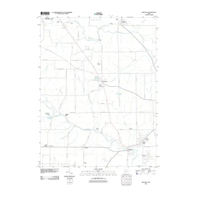
2010 Map of Millville
USGS Topo · Published 2010About this map
Indian Creek and Four Mile Creek define the drainage of this Butler County landscape, where small rural communities are connected by a dense network of country roads. The settlement of Millville sits at a crossroads near the confluence of Indian Creek and Lick Run, while further north, the historic site of Lanes Mill stands along the banks of Four Mile Creek. The area is notable for its high concentration of family and community burial grounds, including the Flankenstein Cemetery, Minton Cemetery, and Fenton Cemetery, which provide significant points of interest for genealogists tracing the local lineage of southwest Ohio.
Find a feature on this map
78 named features on this map. Tap any name to fly to it.
Don’t see what you’re looking for? This feature index may not catch every label — zoom into the map to look around manually.
Map Details
Editions of this 2010 Millville Map
This is the sole edition of this map. No revisions or reprints were ever made.
Other maps of this area

1911 · Oxford
USGS Topo · 1:62,500

1915 · College Corner
USGS Topo · 1:48,000

1915 · Harrison
USGS Topo · 1:48,000

1915 · Hamilton
USGS Topo · 1:62,500

1917 · Hamilton
USGS Topo · 1:62,500

1918 · College Corner
USGS Topo · 1:62,500

1953 · Cincinnati
USGS Topo · 1:250,000

1955 · Harrison
USGS Topo · 1:24,000

1955 · Hamilton
USGS Topo · 1:24,000

1955 · Reily
USGS Topo · 1:24,000