Old Maps of St. Paris, Ohio for Genealogy
Trace your family roots with 20 historic maps of St. Paris. These high-res maps reveal old neighborhoods, homesites, landmarks, and streets — helping you uncover where your ancestors lived and how the area evolved over time.
- Explore historic neighborhoods: Identify where your relatives may have lived in the 1800s or 1900s.
- Compare maps over time: Trace the changes in streets, buildings, and landmarks for multi-generational research.
- Perfect for genealogy & ancestry research: Used by family historians and researchers to map out lineage and migration.
These maps are an incredible resource for exploring your personal connection to St. Paris's past.
St. Paris, OH maps
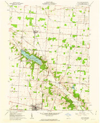
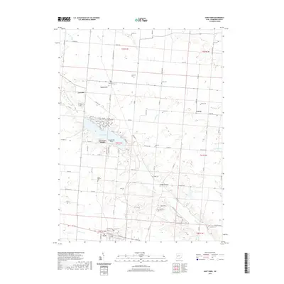
(20)- 1914 Map of St. Paris, 1954 Print
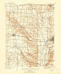 1914 St. Paris1954 Print · USGSChampaign County at the height of the steam and electric rail era shows a landscape of thriving rural school districts and busy market towns. Trace the footprints of early education at Mt Jesse School or locate family roots near Millerstown and the County Infirmary.2 unique versions available
 - 1916 Map of St. Paris, 1936 Print
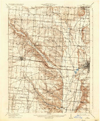 1916 St. Paris1936 Print · USGSChampaign and Clark counties are shown here just before the first World War, revealing a landscape of rural schoolhouses and bustling rail junctions. Researchers can locate family landmarks like the Speece School or trace the path of the Ohio Electric Ry through Tremont City.
 - 1944 Map of St. Paris
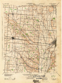 1944 St. Paris1944 Print · USGSChampaign County at the height of the war years reveals a landscape of thriving rural schoolhouses and bustling rail junctions. Genealogists can trace family footprints through sites like Mt Zion Ch, Carysville, and the County Infirmary.
 - 1950 Map of Marion
 1950 Marion1950 Print · USGSCentral Ohio was a powerhouse of rail and river industry at the mid-century point, serving as a vital corridor between the Great Lakes and the Ohio River valley. Genealogists and rail historians can trace the paths of the Erie RR and Nickel Plate Road through towns like Bucyrus, Galion, and Upper Sandusky.
 - 1961 Map of Thackery, 1962 Print
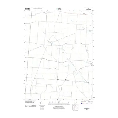
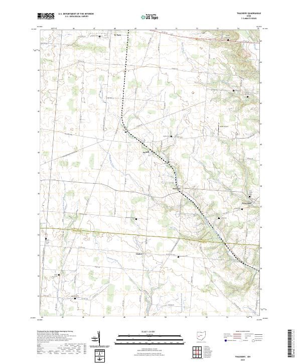
 1961 Thackery1962 Print · USGSChampaign County at the start of the sixties reveals a landscape of deeply rooted farm communities and active rail corridors. Local historians can trace family ties at Evergreen Cem, Grafton Ch, and the many rural hamlets like Thackery and Terre Haute.
 - 1961 Map of Saint Paris, 1962 Print
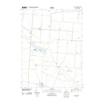
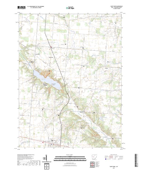
 1961 Saint Paris1962 Print · USGSChampaign County agricultural life and lakeside recreation are captured here in the early sixties. Researchers can locate numerous family burial grounds like Halterman Cem and trace the path of the Detroit Toledo and Ironton RR through Rosewood.2 unique versions available
 - 1962 Map of Marion
 1962 Marion1962 Print · USGSCentral Ohio during the post-war era showcases a dense network of railroad towns and emerging interstate highways. Genealogists can trace family roots in smaller settlements like Houcktown and Marseilles or locate landmarks near Indian Lake.
 - 1966 Map of Marion, 1968 Print
 1966 Marion1968 Print · USGSCentral Ohio in the mid-sixties is captured during a period of rapid highway expansion and industrial connectivity. Genealogists and historians can trace rail-and-river networks through towns like Marion, Urbana, and Mount Vernon, or locate landmarks such as Malabar Farm and Black Hand Rock.3 unique versions available
 - 1986 Map of Bellefontaine
 1986 Bellefontaine1986 Print · USGSWest Central Ohio in the mid-1980s reveals a landscape of growing metropolitan fringes and established rural centers. Researchers can trace historic cemeteries and civic institutions from Oak Grove Cem to the State Reformatory For Women and Cedar Bog State Nature Preserve.
 - 1992 Map of Bellefontaine
 1992 Bellefontaine1992 Print · USGSWest-central Ohio in the early nineties reveals a blend of high-plateau geography and growing suburban corridors near the state capital. Genealogists can trace family connections to landmarks like Mount Tabor Church, Oak Grove Cemetery, and the high ground of Campbell Hill.
 - 2010 Map of Thackery, 2010 Print
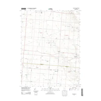
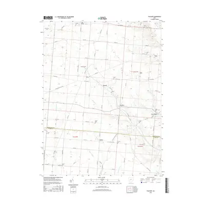
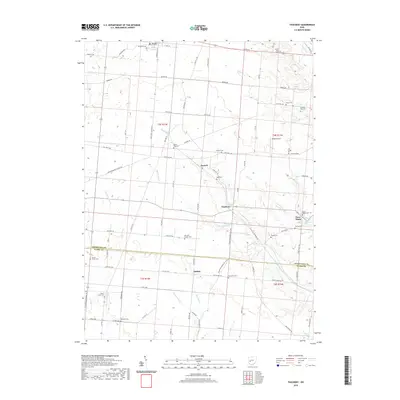
 2010 Thackery2010 Print · USGSCovers St. Paris, including Thackery, Terre Haute, and other nearby areas
 - 2010 Map of Saint Paris, 2010 Print
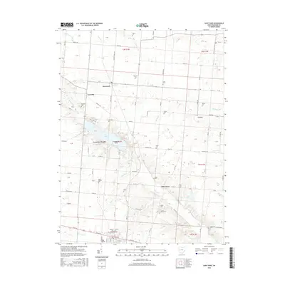
 2010 Saint Paris2010 Print · USGSCovers St. Paris, including Saint Paris, Rosewood, and other nearby areas
 - 2013 Map of Saint Paris, 2013 Print
 2013 Saint Paris2013 Print · USGSCovers St. Paris, including Saint Paris, Rosewood, and other nearby areas
 - 2013 Map of Thackery, 2013 Print
 2013 Thackery2013 Print · USGSCovers St. Paris, including Thackery, Terre Haute, and other nearby areas
 - 2016 Map of Saint Paris, 2016 Print
 2016 Saint Paris2016 Print · USGSCovers St. Paris, including Saint Paris, Rosewood, and other nearby areas
 - 2016 Map of Thackery, 2016 Print
 2016 Thackery2016 Print · USGSCovers St. Paris, including Thackery, Terre Haute, and other nearby areas
 - 2019 Map of Thackery, 2019 Print
 2019 Thackery2019 Print · USGSCovers St. Paris, including Thackery, Terre Haute, and other nearby areas
 - 2019 Map of Saint Paris, 2019 Print
 2019 Saint Paris2019 Print · USGSCovers St. Paris, including Saint Paris, Rosewood, and other nearby areas
 - 2023 Map of Thackery, 2023 Print
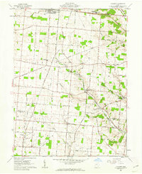
 2023 Thackery2023 Print · USGSWestern Champaign County remains a landscape of quiet villages and family farmsteads in the early twenty-first century. Genealogists can locate several family burial grounds and country churches, including Newsom Chapel, Myrtle Tree Cem, and Beech Grove Cem.
 - 2023 Map of Saint Paris, 2023 Print
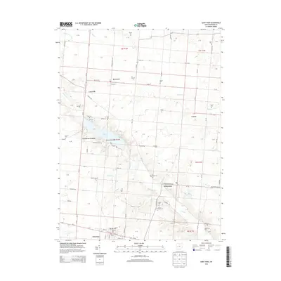
 2023 Saint Paris2023 Print · USGSChampaign County at the start of the 2020s remains a landscape of established villages and quiet lakeside living. Genealogists can trace family lines through the Lutheran Cem, Salem Cem, and Wilkson Cem while exploring the areas around St. Paris and Kiser Lake.
End of results
Showing maps 1-20 of 20
Top cities near St. Paris
- Dayton historical maps
- Springfield historical maps
- Troy historical maps
- Sidney historical maps
- Vandalia historical maps
- Bellefontaine historical maps
See more
Top neighborhoods of St. Paris
Frequently asked questions
- What are the different types of historical maps available for St. Paris?
- What is the oldest map of St. Paris?
- Where can I purchase historical maps of St. Paris for my home or office?
- Where can I download high-res historical maps of St. Paris?
- Are there historical topographic maps available for St. Paris?
- Is there historical aerial imagery available for St. Paris?
- Where are historical maps of St. Paris sourced from?