Old Maps of Washington Township, Ohio for Academic Research
Study the evolution of Washington Township with 30 high-resolution historic maps. Whether you're teaching, researching, or modeling changes in land use, these maps provide essential visual documentation of urban, environmental, and geographic change.
- Analyze long-term change: Track patterns in development, transportation, and natural features.
- Ideal for environmental or urban studies: Support academic projects with primary historical map data.
- Use in the classroom or lab: Educators and researchers rely on these maps to bring historical context to life.
These maps are a powerful tool for teaching, research, and visualizing how Washington Township has changed over the decades.
Washington Township, OH maps
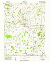
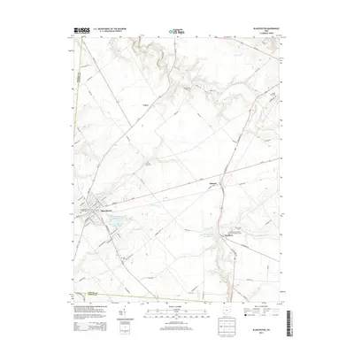
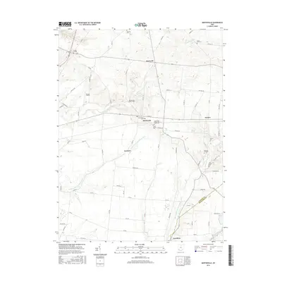
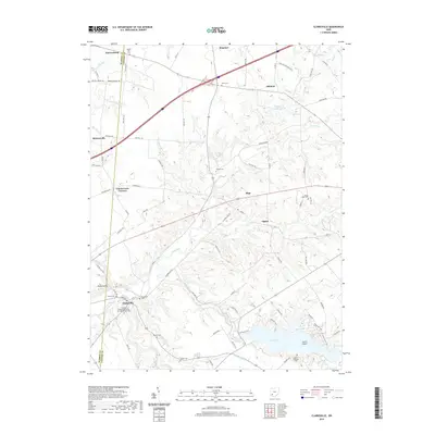
(30)- 1907 Map of Blanchester
 1907 Blanchester1907 Print · USGSClinton County at the dawn of the twentieth century was a landscape of well-connected rail towns and country parishes. Genealogists can trace family roots through numerous landmarks like Macedonia Chapel, Dutch School, and the Childrens Home near Wilmington.3 unique versions available
 - 1947 Map of Columbus, 1948 Print
 1947 Columbus1948 Print · USGSCentral Ohio in the late 1940s is captured in this survey, showing the post-war transition of its rail hubs and military airfield expansions. Genealogists and historians can trace the paths of the Ohio Canal, the Pennsylvania RR lines, and the Camp Sherman Military Reservation.
 - 1960 Map of Martinsville, 1962 Print
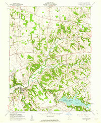
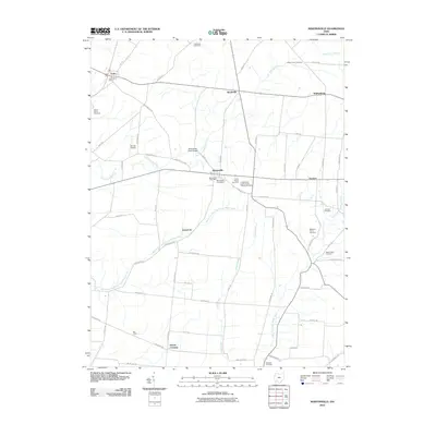
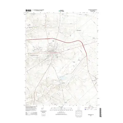
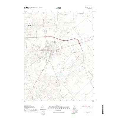
 1960 Martinsville1962 Print · USGSClinton and Highland counties are shown in the early 1960s as a thriving agricultural landscape defined by the Baltimore and Ohio RR. Researchers can trace old family roots through sites like Klocks Crossing, IOOF Cem, and the rural Glady Ch.
 - 1960 Map of Clarksville, 1962 Print
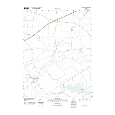
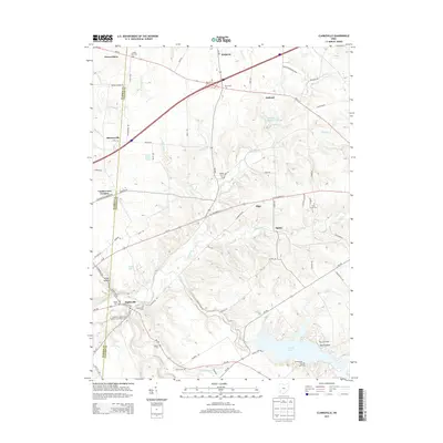
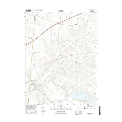
 1960 Clarksville1962 Print · USGSThe Clinton and Warren county line runs through this early 1960s landscape as the newly established Cowan State Park takes shape. Genealogists can trace local roots at Jonahs Run Ch, Sewell Cem, and the village of Clarksville.3 unique versions available
 - 1961 Map of Columbus
 1961 Columbus1961 Print · USGSCentral and Southern Ohio are captured here in the early sixties, as the region's industrial rail hubs and military bases reached their peak. Genealogists and historians can trace the transition from urban Columbus to rural townships along the Scioto River, locating Lockbourne USAF and old junctions like Washington Court House.
 - 1961 Map of Wilmington, 1962 Print
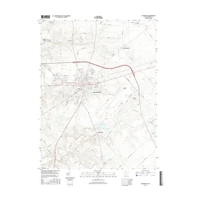
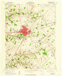 1961 Wilmington1962 Print · USGSWilmington and the surrounding Clinton County townships are captured here in the early sixties as a center of higher education and military aviation. Researchers can trace historic institutions like Wilmington College and the Clinton County Air Force Base, or locate family sites at Dover Cem and Starbucktown.4 unique versions available
 - 1961 Map of Blanchester, 1962 Print
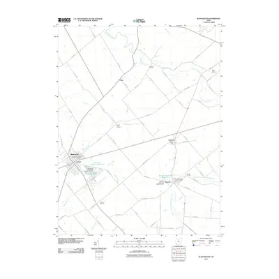
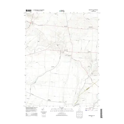
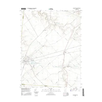
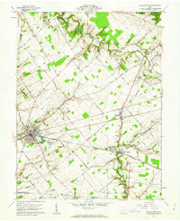 1961 Blanchester1962 Print · USGSClinton County’s railroad heritage is on full display during the early sixties, centered on the bustling junction at Blanchester. Genealogists and local historians can trace family farmsteads along Nauvoo Road and locate historic burial sites like Rehoboth Cem or the IOOF Cem.4 unique versions available
 - 1962 Map of Columbus
 1962 Columbus1962 Print · USGSCentral Ohio during the early sixties reveals a transition from the industrial corridors of Columbus to the forested ridges of the south. Genealogists and historians can trace the rail networks of the Baltimore & Ohio RR and find local landmarks like Washington Court House and Camp Sherman Military Reservation.
 - 1967 Map of Columbus, 1969 Print
 1967 Columbus1969 Print · USGSCentral Ohio during the late sixties serves as a vital corridor of rail and aviation, from the industrial streets of Springfield to the hangar lines of Lockbourne Air Force Base. Genealogists and researchers can trace the growth of towns like Circleville and London or locate rural landmarks such as St Paul church and the London Correctional Institution.2 unique versions available
 - 1986 Map of Hillsboro
 1986 Hillsboro1986 Print · USGSThe rural landscapes of Highland and Clinton counties appear in the mid-eighties as a busy corridor of railroads and regional airports. Genealogists and historians can trace old community centers like Reesville and Starbucktown alongside significant landmarks like Wilmington College and Fort Hill State Memorial.2 unique versions available
 - 2010 Map of Wilmington, 2010 Print
 2010 Wilmington2010 Print · USGSCovers Washington Township, including Wilmington, Green Township, and other nearby areas
 - 2010 Map of Blanchester, 2010 Print
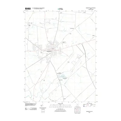
 2010 Blanchester2010 Print · USGSCovers Washington Township, including Blanchester, Midland, and other nearby areas
 - 2010 Map of Clarksville, 2010 Print
 2010 Clarksville2010 Print · USGSCovers Washington Township, including Harveysburg, Clarksville, and other nearby areas
 - 2010 Map of Martinsville, 2010 Print
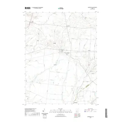
 2010 Martinsville2010 Print · USGSCovers Washington Township, including Lynchburg, Martinsville, and other nearby areas
 - 2013 Map of Blanchester, 2013 Print
 2013 Blanchester2013 Print · USGSCovers Washington Township, including Blanchester, Midland, and other nearby areas
 - 2013 Map of Clarksville, 2013 Print
 2013 Clarksville2013 Print · USGSCovers Washington Township, including Harveysburg, Clarksville, and other nearby areas
 - 2013 Map of Wilmington, 2013 Print
 2013 Wilmington2013 Print · USGSCovers Washington Township, including Wilmington, Green Township, and other nearby areas
 - 2013 Map of Martinsville, 2013 Print
 2013 Martinsville2013 Print · USGSCovers Washington Township, including Lynchburg, Martinsville, and other nearby areas
 - 2016 Map of Martinsville, 2016 Print
 2016 Martinsville2016 Print · USGSCovers Washington Township, including Lynchburg, Martinsville, and other nearby areas
 - 2016 Map of Blanchester, 2016 Print
 2016 Blanchester2016 Print · USGSCovers Washington Township, including Blanchester, Midland, and other nearby areas
 - 2016 Map of Wilmington, 2016 Print
 2016 Wilmington2016 Print · USGSCovers Washington Township, including Wilmington, Green Township, and other nearby areas
 - 2016 Map of Clarksville, 2016 Print
 2016 Clarksville2016 Print · USGSCovers Washington Township, including Harveysburg, Clarksville, and other nearby areas
 - 2019 Map of Clarksville, 2019 Print
 2019 Clarksville2019 Print · USGSCovers Washington Township, including Harveysburg, Clarksville, and other nearby areas
 - 2019 Map of Wilmington, 2019 Print
 2019 Wilmington2019 Print · USGSCovers Washington Township, including Wilmington, Green Township, and other nearby areas
 - 2019 Map of Martinsville, 2019 Print
 2019 Martinsville2019 Print · USGSCovers Washington Township, including Lynchburg, Martinsville, and other nearby areas
Showing maps 1-25 of 30
Top cities near Washington Township
- Wilmington historical maps
- Hillsboro historical maps
- Blanchester historical maps
- Sabina historical maps
- New Market historical maps
- Lynchburg historical maps
See more
Top neighborhoods of Washington Township
Frequently asked questions
- What are the different types of historical maps available for Washington Township?
- What is the oldest map of Washington Township?
- Where can I purchase historical maps of Washington Township for my home or office?
- Where can I download high-res historical maps of Washington Township?
- Are there historical topographic maps available for Washington Township?
- Is there historical aerial imagery available for Washington Township?
- Where are historical maps of Washington Township sourced from?