Old Maps of Campus, Ohio for Metal Detecting
Plan your next treasure hunt with 14 historic maps of Campus. Find old homesites, ghost towns, trails, and gathering spots that may be lost to time — perfect for identifying promising metal detecting locations.
- Locate forgotten sites: Uncover places like long-lost settlements, abandoned rail lines, or gathering spots.
- Plan better hunts: Use map overlays combined with LiDAR or satellite views to narrow in on historically rich areas.
- Made for detectorists: Thousands of hobbyists use these maps to discover relics, coins, and hidden history.
Use these historic maps to boost your research and find new opportunities beneath the surface of Campus.
Campus, OH maps
(14)- 1904 Map of Wellsville
 1904 Wellsville1904 Print · USGSThe tri-state border region along the OHIO RIVER is captured here during the peak of its rail-and-river expansion. Genealogists can trace family footprints in Wellsville or find early rural landmarks like Grimm's Bridge and Cannon's Mill.3 unique versions available
 - 1937 Map of Wellsville, 1960 Print
 1937 Wellsville1960 Print · USGSThe Ohio River valley thrives as a Tri-State industrial hub in the years before the Second World War. Researchers can trace the riverfront rail lines of the Pennsylvania RR and locate vanished local landmarks like Pughtown PO and Nessly Chapel.
 - 1944 Map of Wellsville
 1944 Wellsville1944 Print · USGSThe industrial heart of the Ohio River valley comes to life in the 1940s, showing the bustling riverfronts of Wellsville and East Liverpool. Researchers can trace the Pennsylvania RR lines and find local landmarks like Grimms Bridge and Pughtown PO.2 unique versions available
 - 1951 Map of Canton
 1951 Canton1951 Print · USGSThe industrial heartland of Ohio and Pennsylvania reached its mid-century peak during this era of heavy rail and river transit. Genealogists and historians can trace the development of steel towns like Aliquippa and Weirton alongside the Ohio River and major lines of the Pennsylvania RR.
 - 1953 Map of Canton
 1953 Canton1953 Print · USGSThe industrial heartland of Ohio and Pennsylvania is captured at its mid-century peak in this detailed regional survey. Genealogists and historians can trace the vast rail networks of the Pennsylvania RR and find local landmarks like Nimisila Reservoir and Tappan Reservoir.
 - 1957 Map of Canton, 1971 Print
 1957 Canton1971 Print · USGSThe industrial heartland of eastern Ohio and western Pennsylvania comes alive in this mid-century survey of the Ohio River Valley. Trace the heritage of rail and river commerce through Pittsburgh, the massive steel towns along the Ohio River, and major junctions on the Pennsylvania RR.3 unique versions available
 - 1960 Map of West Point, 1962 Print
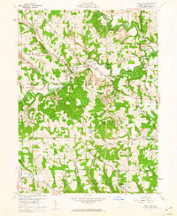 1960 West Point1962 Print · USGSColumbiana County at the start of the 1960s shows a landscape defined by the winding Little Beaver Creek and early industrial coal mining. Genealogists can trace family roots at Scotch Settlement Cem or McKenzie Cem while mapping the historic Geographers Line.5 unique versions available
 - 1962 Map of Canton
 1962 Canton1962 Print · USGSThe industrial heartland of Eastern Ohio and Western Pennsylvania thrives in the early sixties as steel mills and rail lines dominate the river valleys. Genealogists and historians can trace local landmarks like McKinley National Memorial, Malone College, and industrial sites such as Republic Steel Corp.2 unique versions available
 - 1986 Map of East Liverpool
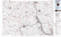 1986 East Liverpool1986 Print · USGSThe tri-state border region in the 1980s reveals a landscape shaped by the Ohio River and a massive rail network. Researchers can trace the industrial footprint of East Liverpool and Midland or locate inland landmarks like Pine Lake and Strip Mines.2 unique versions available
 - 2010 Map of West Point, 2010 Print
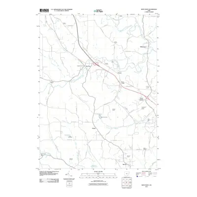 2010 West Point2010 Print · USGSColumbiana County at the start of the twenty-first century reveals a landscape of high ridges and deep family roots. Researchers can locate numerous historic burial sites like the Scotch Settlement Cemetery and trace local landmarks including Round Knob and the Columbiana County Airport.
 - 2013 Map of West Point, 2013 Print
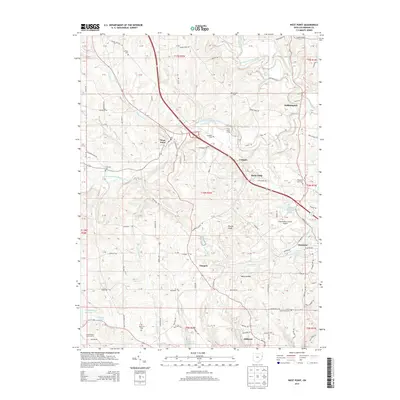 2013 West Point2013 Print · USGSColumbiana County at the start of the 21st century remains a landscape of creek valleys and scattered rural hamlets. Local historians can trace old community hubs like West Point and Glasgow alongside historic sites such as Scotch Settlement Cem.
 - 2016 Map of West Point, 2016 Print
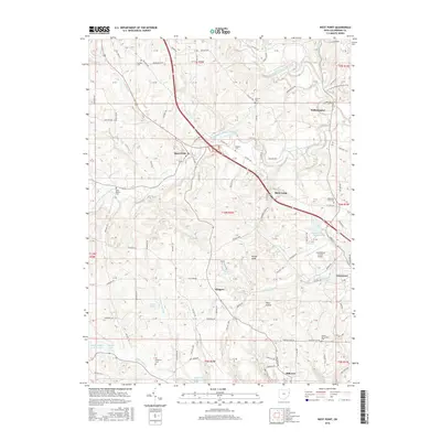 2016 West Point2016 Print · USGSColumbiana County in the mid-2010s shows a landscape of small rural settlements and historic burial grounds. Researchers can trace family history at the Scotch Settlement Cem and Madison Cem or locate the Columbiana County Airport and the Highlandtown Reservoir.
 - 2019 Map of West Point, 2019 Print
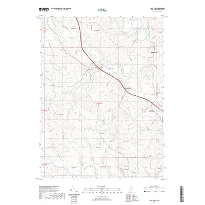 2019 West Point2019 Print · USGSColumbiana County’s rural landscape is captured here in the late 2010s, showing the enduring settlement patterns of eastern Ohio. Genealogists and local historians can pinpoint several family and community burial sites, including Scotch Settlement Cem, Carlisle Cem, and Madison Cem.
 - 2023 Map of West Point, 2023 Print
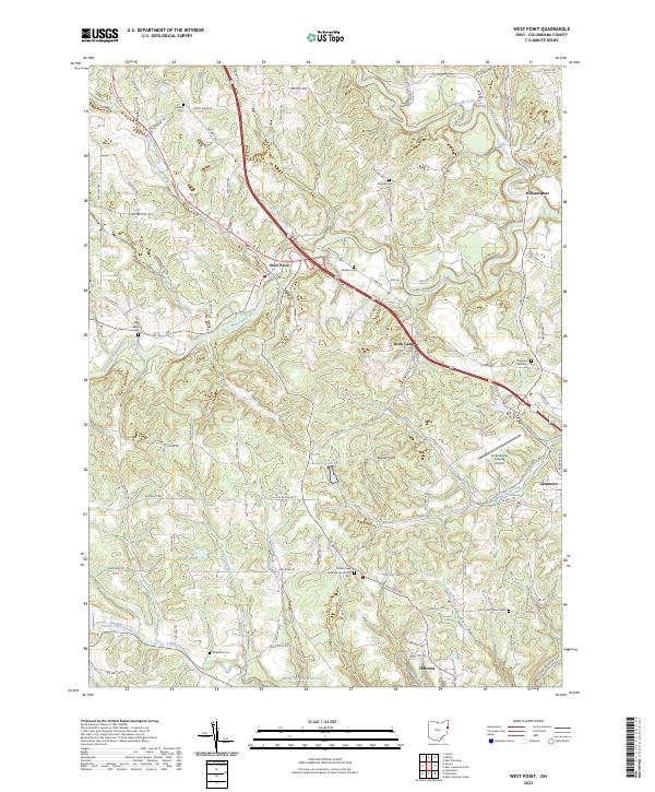 2023 West Point2023 Print · USGSColumbiana County at the start of the 2020s shows a landscape where early pioneer roots meet modern utility. Genealogists can trace family heritage at Scotch Settlement Cem or McKenzie Cem, while hikers can follow the North Country National Scenic Trl.
End of results
Showing maps 1-14 of 14
Top cities near Campus
- East Liverpool historical maps
- Salem historical maps
- Unity historical maps
- Columbiana historical maps
- Toronto historical maps
- East Palestine historical maps
See more
Frequently asked questions
- What are the different types of historical maps available for Campus?
- What is the oldest map of Campus?
- Where can I purchase historical maps of Campus for my home or office?
- Where can I download high-res historical maps of Campus?
- Are there historical topographic maps available for Campus?
- Is there historical aerial imagery available for Campus?
- Where are historical maps of Campus sourced from?