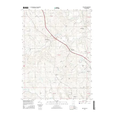
2016 Map of West Point
USGS Topo · Published 2016About this map
West Fork Little Beaver Creek and its many tributaries, such as Brush Run and Patterson Run, carve a complex drainage pattern through this corner of Columbiana County. The area is characterized by small, established communities like West Point, Williamsport, and Glasgow, often situated near the intersections of township roads and historic watercourses. Several smaller bodies of water, including Lake Cha-Vel, Chettle Lake, and Lake Samary, are scattered across the landscape, which rises to a high point at Round Knob.
Find a feature on this map
102 named features on this map. Tap any name to fly to it.
Don’t see what you’re looking for? This feature index may not catch every label — zoom into the map to look around manually.
Map Details
Editions of this 2016 West Point Map
This is the sole edition of this map. No revisions or reprints were ever made.
Other maps of this area

1904 · Wellsville
USGS Topo · 1:62,500

1905 · Salineville
USGS Topo · 1:62,500

1907 · Columbiana
USGS Topo · 1:62,500

1909 · Lisbon
USGS Topo · 1:62,500

1909 · Columbiana
USGS Topo · 1:62,500

1937 · Wellsville
USGS Topo · 1:62,500

1944 · Wellsville
USGS Topo · 1:62,500

1951 · Canton
USGS Topo · 1:250,000

1953 · Canton
USGS Topo · 1:250,000

1957 · Canton
USGS Topo · 1:250,000