Old Maps of Columbiana County, Ohio for Hiking & Exploration
Hike through history with 143 historic maps of Columbiana County. Explore old trails, ghost towns, and forgotten backroads — perfect for outdoor adventurers and local explorers.
- Rediscover forgotten places: Map out old mining camps, roads, and footpaths that no longer exist on modern maps.
- Layer with modern tools: Combine with LiDAR or satellite views to plan hikes through historical terrain.
- Made for exploration: Popular among hikers, overlanders, and local history lovers.
Use these maps to find adventure and explore the hidden past of Columbiana County.
Columbiana County, OH maps
(143)- 1904 Map of Wellsville
 1904 Wellsville1904 Print · USGSThe tri-state border region along the OHIO RIVER is captured here during the peak of its rail-and-river expansion. Genealogists can trace family footprints in Wellsville or find early rural landmarks like Grimm's Bridge and Cannon's Mill.3 unique versions available
 - 1905 Map of Salineville, 1948 Print
 1905 Salineville1948 Print · USGSEastern Ohio at the turn of the century shows a landscape transitioning between agrarian roots and new industrial rail lines. Genealogists and researchers can trace family lands near Salineville and Bergholz, or locate rural hamlets like Summitville and Wattsville.
 - 1907 Map of Columbiana, 1958 Print
 1907 Columbiana1958 Print · USGSColumbiana County at the turn of the century was a bustling corridor of coal, rail, and community life. Genealogists can trace family names at Subrosa School and Mt Zion Church, or locate defunct stops on the Pennsylvania System.
 - 1909 Map of Alliance
 1909 Alliance1909 Print · USGSAlliance and its surrounding industrial townships are captured in detail just after the turn of the century as the rail network reached its peak. Genealogists can trace family roots through numerous rural schools like Linden Hall School and vanished stations such as Freeburg Sta.4 unique versions available
 - 1909 Map of Lisbon, 1937 Print
 1909 Lisbon1937 Print · USGSColumbiana and Mahoning Counties flourished at the intersection of rail and agriculture in the early 1900s. Genealogists can trace family roots through numerous small hamlets and local landmarks like Franklin Square, St Jacobs Church, and New Garden.2 unique versions available
 - 1909 Map of Columbiana, 1937 Print
 1909 Columbiana1937 Print · USGSThe Ohio-Pennsylvania borderlands are captured here during the peak of the rail era, showing a landscape defined by industry and rural education. Researchers can trace the path of the Pennsylvania System through East Palestine or locate local landmarks like Coalmines and the Subrosa School.2 unique versions available
 - 1910 Map of Carrollton, 1957 Print
 1910 Carrollton1957 Print · USGSCarroll County and parts of Stark and Columbiana counties are documented here during an era of robust rail expansion and rural development. Genealogists can trace family footprints across dozens of local landmarks like Phalana Hall School, Macedonia Church, and the County Infirmary.
 - 1912 Map of Carrollton, 1943 Print
 1912 Carrollton1943 Print · USGSThe hills of Carroll County are shown at a peak of rural development in the early 20th century, before major modern changes. Genealogists can trace family roots through numerous local landmarks like Mud School, the County Infirmary, and Harlem Springs.
 - 1937 Map of Wellsville, 1960 Print
 1937 Wellsville1960 Print · USGSThe Ohio River valley thrives as a Tri-State industrial hub in the years before the Second World War. Researchers can trace the riverfront rail lines of the Pennsylvania RR and locate vanished local landmarks like Pughtown PO and Nessly Chapel.
 - 1944 Map of Wellsville
 1944 Wellsville1944 Print · USGSThe industrial heart of the Ohio River valley comes to life in the 1940s, showing the bustling riverfronts of Wellsville and East Liverpool. Researchers can trace the Pennsylvania RR lines and find local landmarks like Grimms Bridge and Pughtown PO.2 unique versions available
 - 1951 Map of Canton
 1951 Canton1951 Print · USGSThe industrial heartland of Ohio and Pennsylvania reached its mid-century peak during this era of heavy rail and river transit. Genealogists and historians can trace the development of steel towns like Aliquippa and Weirton alongside the Ohio River and major lines of the Pennsylvania RR.
 - 1951 Map of Columbiana, 1953 Print
 1951 Columbiana1953 Print · USGSThe Mahoning and Columbiana county line in the early fifties shows a landscape of rail-connected towns and rural cemeteries. Genealogists can trace family names at Zion Hill Ch Cem or Easterly Cem while exploring the rail routes of the ERIE RAILROAD.
 - 1951 Map of New Middletown, 1953 Print
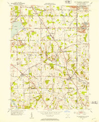 1951 New Middletown1953 Print · USGSEastern Ohio at the dawn of the fifties shows a rural landscape adapting to new interstate travel. Researchers can trace ancestral locations at Bethel Cem, Springfield High Sch, and the emerging corridor of the Ohio Turnpike.
 - 1952 Map of Alliance, 1954 Print
 1952 Alliance1954 Print · USGSAlliance and its surrounding industrial townships are captured in the early fifties, showcasing a dense rail and school network. Genealogists can trace family names through several burial sites like Old German Cem and Hartzell Cem, or locate historic homes near Mt Union College.3 unique versions available
 - 1952 Map of Damascus, 1954 Print
 1952 Damascus1954 Print · USGSThe Mahoning and Columbiana county line comes alive in the early fifties, showing the rail-centered growth of Beloit and Damascus. Genealogists can locate family landmarks like the Damascus Cemetery, Township School, and the Wilbur Church at a time when steam and diesel still shared the rails.
 - 1952 Map of Salem, 1954 Print
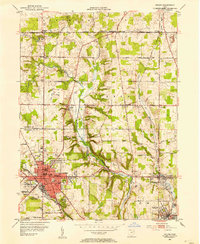 1952 Salem1954 Print · USGSMid-century development in the SALEM area shows a landscape of busy industrial towns and family-named crossroads during the 1950s. Genealogists and historians can trace neighborhood sites like Buckeye Sch, Hope Cem, and the old rail lines serving Washingtonville.
 - 1953 Map of Canton
 1953 Canton1953 Print · USGSThe industrial heartland of Ohio and Pennsylvania is captured at its mid-century peak in this detailed regional survey. Genealogists and historians can trace the vast rail networks of the Pennsylvania RR and find local landmarks like Nimisila Reservoir and Tappan Reservoir.
 - 1957 Map of Canton, 1971 Print
 1957 Canton1971 Print · USGSThe industrial heartland of eastern Ohio and western Pennsylvania comes alive in this mid-century survey of the Ohio River Valley. Trace the heritage of rail and river commerce through Pittsburgh, the massive steel towns along the Ohio River, and major junctions on the Pennsylvania RR.3 unique versions available
 - 1959 Map of Hanoverton, 1961 Print
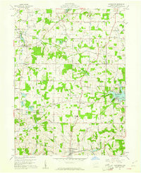 1959 Hanoverton1961 Print · USGSColumbiana County was a patchwork of family farms and small crossroads settlements in the late fifties. Genealogists and local historians can trace family locations near Hanoverton and North Georgetown or locate family plots at Woodsdale Cem and Figley Cem.2 unique versions available
 - 1960 Map of Elkton
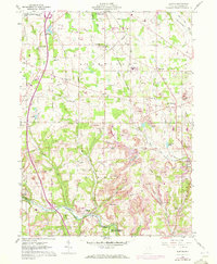 1960 Elkton1960 Print · USGSColumbiana County at the start of the 1960s shows a landscape defined by coal mining and heavy rail. Genealogists can locate several rural burying grounds like Church Hill Cem and Zepperick Cem alongside the tracks of the Penn Central and Erie-Lackawanna railroads.2 unique versions available
 - 1960 Map of Homeworth, 1961 Print
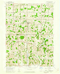 1960 Homeworth1961 Print · USGSEastern Ohio farm country and small rail towns come alive in the early sixties as the Pennsylvania railroad cuts through Homeworth. Researchers can locate family landmarks like the Fairmount Childrens Home, Walker Cemetery, and the Knox School.4 unique versions available
 - 1960 Map of Minerva, 1961 Print
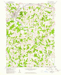 1960 Minerva1961 Print · USGSMinerva and its neighboring townships in the early 1960s show a region deeply connected by the Pennsylvania and New York Central rail lines. Genealogists and local historians can trace rural family roots through landmarks like St Pauls Ch, Still Fork Ch Cem, and the historic Geographers Line.2 unique versions available
 - 1960 Map of West Point, 1962 Print
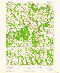 1960 West Point1962 Print · USGSColumbiana County at the start of the 1960s shows a landscape defined by the winding Little Beaver Creek and early industrial coal mining. Genealogists can trace family roots at Scotch Settlement Cem or McKenzie Cem while mapping the historic Geographers Line.5 unique versions available
 - 1960 Map of Kensington, 1962 Print
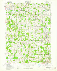 1960 Kensington1962 Print · USGSCarroll and Columbiana counties meet here in the early sixties, where coal mining and historical survey lines define the rural landscape. Genealogists and local historians can trace family locations near Summitville, Bethesda Ch, and the significant Geographers Line.3 unique versions available
 - 1960 Map of Wellsville, 1962 Print
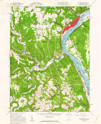 1960 Wellsville1962 Print · USGSThe Ohio River valley in the early sixties is a landscape of heavy industry and riverfront commerce. Genealogists can trace family plots at Spring Hill Cem or explore rail-side communities like Wellsville, Irondale, and Hammondsville.6 unique versions available
Showing maps 1-25 of 143
Top cities of Columbiana County
- East Liverpool historical maps
- Salem historical maps
- Unity historical maps
- East Palestine historical maps
- Wellsville historical maps
- Lisbon historical maps
See more
Frequently asked questions
- What are the different types of historical maps available for Columbiana County?
- What is the oldest map of Columbiana County?
- Where can I purchase historical maps of Columbiana County for my home or office?
- Where can I download high-res historical maps of Columbiana County?
- Are there historical topographic maps available for Columbiana County?
- Is there historical aerial imagery available for Columbiana County?
- Where are historical maps of Columbiana County sourced from?