Old Maps of Linton Township, Ohio for Genealogy
Trace your family roots with 23 historic maps of Linton Township. These high-res maps reveal old neighborhoods, homesites, landmarks, and streets — helping you uncover where your ancestors lived and how the area evolved over time.
- Explore historic neighborhoods: Identify where your relatives may have lived in the 1800s or 1900s.
- Compare maps over time: Trace the changes in streets, buildings, and landmarks for multi-generational research.
- Perfect for genealogy & ancestry research: Used by family historians and researchers to map out lineage and migration.
These maps are an incredible resource for exploring your personal connection to Linton Township's past.
Linton Township, OH maps
(23)- 1908 Map of Conesville, 1961 Print
 1908 Conesville1961 Print · USGSEastern Ohio at the dawn of the twentieth century was a landscape of river-valley commerce and tight-knit rural school districts. Researchers can trace the legacy of family farms and early industry through sites like Morgan Mill, Conesville, and the Science Hill School.
 - 1909 Map of Cambridge, 1963 Print
 1909 Cambridge1963 Print · USGSGuernsey County and the city of Cambridge are documented here in the early nineteen-hundreds, showing a region structured by river valleys and the historic National Road. Genealogists can trace early homesteads near Barnes Mill, the Galigher PO post office, and dozens of rural school sites.
 - 1910 Map of Conesville, 1948 Print
 1910 Conesville1948 Print · USGSThe Muskingum River valley and the Ohio Canal are captured here in the decade before the Great War. Genealogists can trace family homesteads near dozens of rural landmarks like Young America School, Otsego, and Munroe Basin.
 - 1912 Map of Cambridge, 1946 Print
 1912 Cambridge1946 Print · USGSGuernsey County was a bustling hub of rail and river commerce at the start of the century. You can trace the path of the National Road and locate family landmarks like Barnes Mill, Zion Church, and dozens of district schools.2 unique versions available
 - 1951 Map of Canton
 1951 Canton1951 Print · USGSThe industrial heartland of Ohio and Pennsylvania reached its mid-century peak during this era of heavy rail and river transit. Genealogists and historians can trace the development of steel towns like Aliquippa and Weirton alongside the Ohio River and major lines of the Pennsylvania RR.
 - 1953 Map of Canton
 1953 Canton1953 Print · USGSThe industrial heartland of Ohio and Pennsylvania is captured at its mid-century peak in this detailed regional survey. Genealogists and historians can trace the vast rail networks of the Pennsylvania RR and find local landmarks like Nimisila Reservoir and Tappan Reservoir.
 - 1957 Map of Canton, 1971 Print
 1957 Canton1971 Print · USGSThe industrial heartland of eastern Ohio and western Pennsylvania comes alive in this mid-century survey of the Ohio River Valley. Trace the heritage of rail and river commerce through Pittsburgh, the massive steel towns along the Ohio River, and major junctions on the Pennsylvania RR.3 unique versions available
 - 1962 Map of Canton
 1962 Canton1962 Print · USGSThe industrial heartland of Eastern Ohio and Western Pennsylvania thrives in the early sixties as steel mills and rail lines dominate the river valleys. Genealogists and historians can trace local landmarks like McKinley National Memorial, Malone College, and industrial sites such as Republic Steel Corp.2 unique versions available
 - 1962 Map of Plainfield, 1963 Print
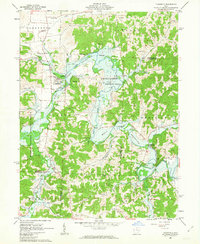 1962 Plainfield1963 Print · USGSCoshocton and Guernsey counties are shown here in the early 1960s as the Wills Creek Reservoir reshaped the valley. Genealogists and local historians can trace small settlements like Linton Mills and Birds Run alongside numerous family cemeteries.4 unique versions available
 - 1962 Map of Wills Creek, 1963 Print
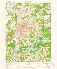 1962 Wills Creek1963 Print · USGSCoshocton and Muskingum counties are shown in the early 1960s as the regional economy shifted between river valley agriculture and heavy industrial mining. Researchers can trace rural life through Marquand Mills, the Wills Creek Dam, and numerous sites like Zion Ch Cem.4 unique versions available
 - 1993 Map of Plainfield
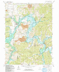 1993 Plainfield1993 Print · USGSThe eastern Ohio borderlands of Coshocton and Guernsey counties appear here in the early nineties, centered on the complex shoreline of Wills Creek Lake. Researchers can locate several burial grounds like Schweitzer Cem and trace the paths of the Old RR Gr through Birds Run.
 - 1994 Map of Plainfield, 1998 Print
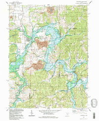 1994 Plainfield1998 Print · USGSEastern Ohio's river valleys and coal-rich hills are shown here in the 1990s as Wills Creek winds through the meeting point of three counties. Researchers can trace rural lineages through numerous local sites including Linton Mills, Plainfield Cem, and Birds Run.
 - 1994 Map of Wills Creek, 1998 Print
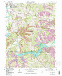 1994 Wills Creek1998 Print · USGSThe Wills Creek valley was a hub of mining and water management in the late twentieth century. Genealogists and local researchers can trace the roads to Marquand Mills, Our Lady of Lourdes Ch, and the Wills Creek Dam.
 - 2010 Map of Plainfield, 2010 Print
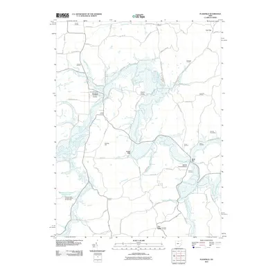 2010 Plainfield2010 Print · USGSCoshocton County's rural landscapes are captured here during the first decade of the millennium, centered on the Wills Creek valley. Family historians can trace ancestral sites like the Miskimen Family Cemetery or early settlements at Linton Mills and Plainfield.
 - 2010 Map of Wills Creek, 2010 Print
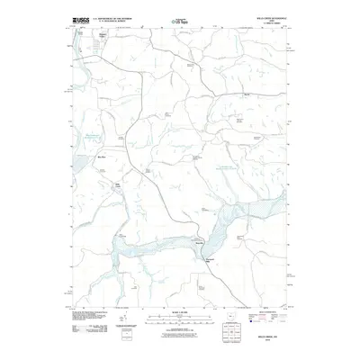 2010 Wills Creek2010 Print · USGSThe Wills Creek valley at the start of the 2010s shows a landscape defined by its waterways and numerous rural burial grounds. Researchers can trace local lineage through sites like Royers Chapel Cemetery and Marquands Mills Cemetery near the Wills Creek Dam.
 - 2013 Map of Wills Creek, 2013 Print
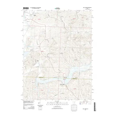 2013 Wills Creek2013 Print · USGSThe Muskingum River valley and the winding Wills Creek corridor are captured here during the early twenty-first century. Researchers can trace rural lineages through numerous local landmarks like Marquand Mills, Saint Johns Lutheran Cem, and the Franklin Cem.
 - 2013 Map of Plainfield, 2013 Print
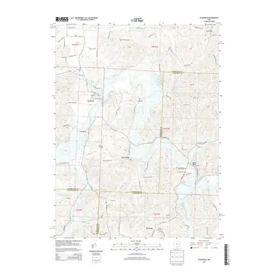 2013 Plainfield2013 Print · USGSCoshocton and Guernsey counties meet along the winding Wills Creek in the early twenty-first century. Genealogists and local historians can locate numerous family burial sites like Miskimen Family Cem and settlements such as Linton Mills.
 - 2016 Map of Plainfield, 2016 Print
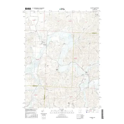 2016 Plainfield2016 Print · USGSThe rural borderlands of Coshocton and Guernsey counties are documented here in the mid-2010s as Wills Creek snakes through the valley. Genealogists can locate several remote burial sites, including Forney Cem, Banker Cem, and the Union Hill Cem.
 - 2016 Map of Wills Creek, 2016 Print
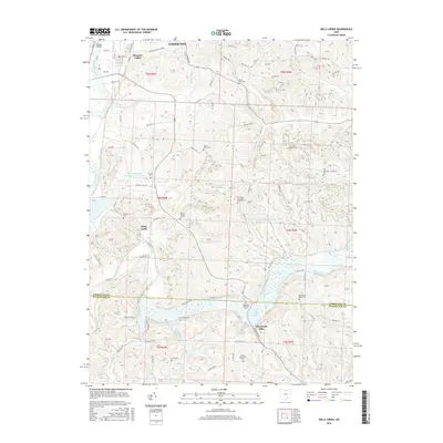 2016 Wills Creek2016 Print · USGSThe Muskingum River valley and the Wills Creek reservoir system define this part of Coshocton County in the mid-2010s. Researchers can trace historic family burial sites at Saint Johns Lutheran Cem or Royers Chapel Cem and locate the small community of Marquand Mills.
 - 2019 Map of Wills Creek, 2019 Print
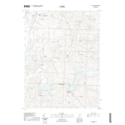 2019 Wills Creek2019 Print · USGSCoshocton and Muskingum counties meet along the winding waters of Wills Creek in this contemporary topographic survey. Local historians can locate numerous rural burial sites including Royers Chapel Cem and trace the historic footprint of Marquand Mills.
 - 2019 Map of Plainfield, 2019 Print
 2019 Plainfield2019 Print · USGSEastern Coshocton County and northern Guernsey County are mapped here in the late 2010s, centered on the Wills Creek valley. Family historians can locate dozens of local landmarks including the Miskimen Family Cem, Linton Mills, and the Birds Run Methodist Episcopal Cem.
 - 2023 Map of Wills Creek, 2023 Print
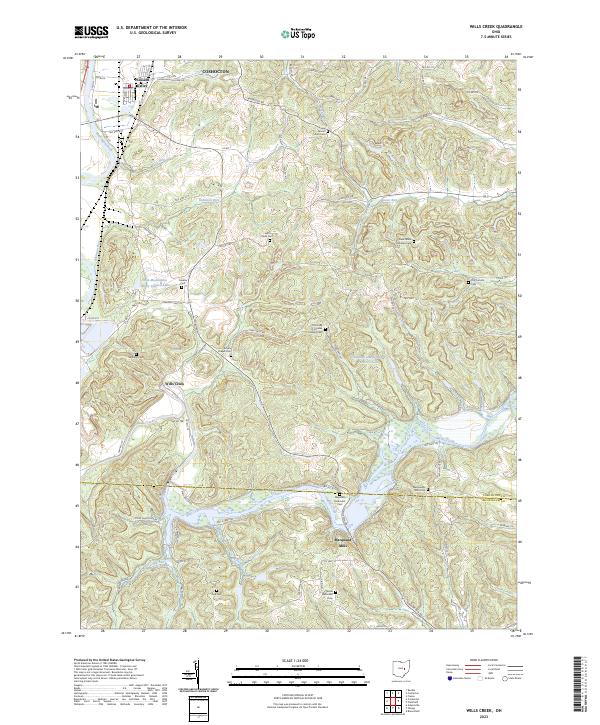 2023 Wills Creek2023 Print · USGSThe Coshocton and Muskingum county borderlands in the early 2020s remain a landscape of winding creek valleys and historic parish centers. Family historians can trace numerous rural landmarks, from the early industrial site at Marquand Mills to the Royers Chapel Cem and Saint Pauls Cem.
 - 2023 Map of Plainfield, 2023 Print
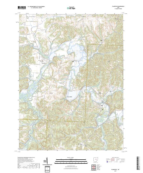 2023 Plainfield2023 Print · USGSThe borderlands of Coshocton and Guernsey counties are captured here in the early twenty-first century. Genealogists can trace family burial sites at Schweitzer Cem and Banker Cem or locate the rural crossroads of Linton Mills.
End of results
Showing maps 1-23 of 23
Top cities near Linton Township
- Coshocton historical maps
- Cambridge historical maps
- Newcomerstown historical maps
- New Concord historical maps
- Byesville historical maps
- West Lafayette historical maps
See more
Top neighborhoods of Linton Township
Frequently asked questions
- What are the different types of historical maps available for Linton Township?
- What is the oldest map of Linton Township?
- Where can I purchase historical maps of Linton Township for my home or office?
- Where can I download high-res historical maps of Linton Township?
- Are there historical topographic maps available for Linton Township?
- Is there historical aerial imagery available for Linton Township?
- Where are historical maps of Linton Township sourced from?