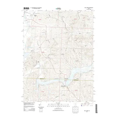
2013 Map of Wills Creek
USGS Topo · Published 2013About this map
The Muskingum River flows through the northwest corner of this terrain, where the Randle Bridge serves the community of Pleasant Valley. This survey captures the rural landscape at the border of Coshocton and Muskingum counties, a region defined by its dispersed settlements and numerous small family and church burial grounds. The namesake Wills Creek snakes through the southern half of the quadrangle, passing near the village of Maysville and the site of Marquand Mills.
Find a feature on this map
80 named features on this map. Tap any name to fly to it.
Don’t see what you’re looking for? This feature index may not catch every label — zoom into the map to look around manually.
Map Details
Editions of this 2013 Wills Creek Map
This is the sole edition of this map. No revisions or reprints were ever made.
Other maps of this area

1908 · Conesville
USGS Topo · 1:62,500

1909 · Cambridge
USGS Topo · 1:62,500

1910 · Conesville
USGS Topo · 1:62,500

1911 · Newcomerstown
USGS Topo · 1:62,500

1912 · Cambridge
USGS Topo · 1:62,500

1913 · Newcomerstown
USGS Topo · 1:62,500

1913 · Coshocton
USGS Topo · 1:62,500

1915 · Coshocton
USGS Topo · 1:62,500

1943 · Coshocton
USGS Topo · 1:62,500

1943 · Newcomerstown
USGS Topo · 1:62,500