2020s Maps of Bucyrus Township, Ohio
Explore 4 historic maps of Bucyrus Township from the 2020s. These maps offer a rare glimpse into what life looked like during the 2020s — showing old roads, neighborhoods, homes, and landmarks that have changed or disappeared over time.
Whether you're researching your family's past, planning a metal detecting trip, or studying how Bucyrus Township's landscape evolved across the 2020s, these high-resolution maps are a powerful tool for exploring the history of this region.
- Focus on a specific era: All maps on this page are from the 2020s, giving you a focused view of this time period.
- See what’s changed: Compare century-old streets, trails, and buildings to today's modern landscape using overlays and satellite layers.
- Research with precision: Use these maps for genealogy, historical research, land use analysis, or educational projects.
- View, download, or print: Maps are fully viewable online in high resolution, and can be downloaded or printed for your own records.
Start exploring Bucyrus Township's history through authentic maps from the 2020s. This is your window into the past.
Bucyrus Township, OH maps
(4)- 2023 Map of Caledonia, 2023 Print
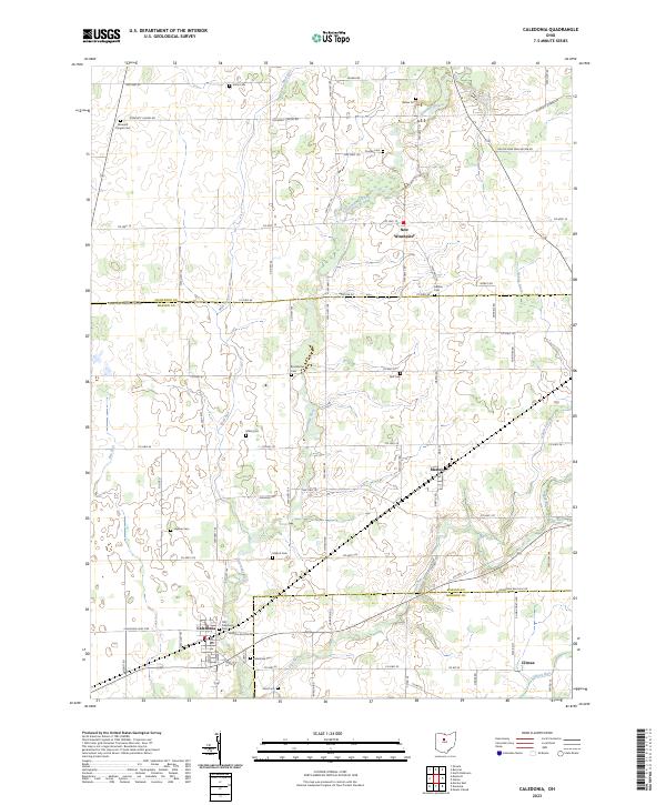 2023 Caledonia2023 Print · USGSThe rural borderlands of Marion, Crawford, and Morrow counties are documented here in detail. Researchers can trace ancestral farm locations and historic burial sites like Monnett Chapel Cem, Hipsher Cem, and the settlement at Martel.
 - 2023 Map of Bucyrus, 2023 Print
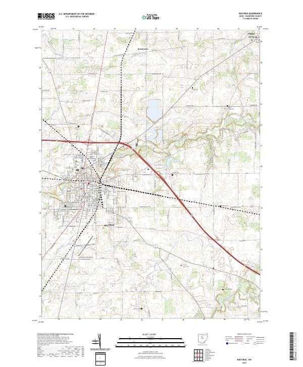 2023 Bucyrus2023 Print · USGSBucyrus and the surrounding Crawford County townships appear here in their modern context, showing a landscape shaped by the Sandusky River. Genealogists can locate several historic burial sites like Salem Cem and County Home Cem along with the Crawford County Courthouse.
 - 2023 Map of Monnett, 2023 Print
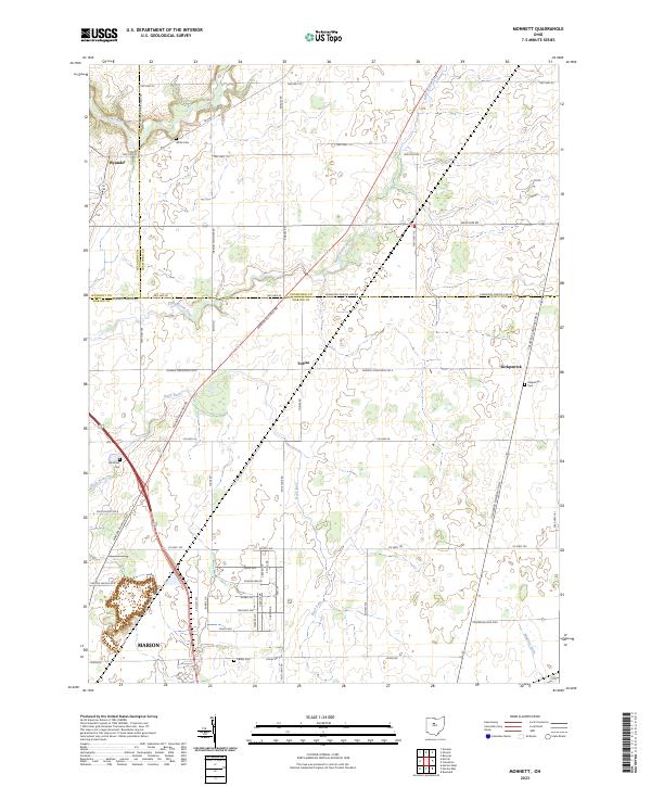 2023 Monnett2023 Print · USGSMarion and its rural northern neighbors are documented here in the early twenty-first century, showing the intersection of three Ohio counties. Genealogists can locate several family-named landmarks including White Cem, Likens Cem, and the settlement of Tobias.
 - 2023 Map of Oceola, 2023 Print
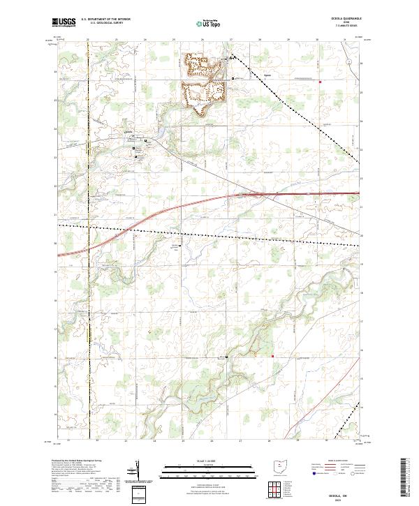 2023 Oceola2023 Print · USGSCrawford County's rural landscape is captured here in the modern era, centered on the historic crossroads of Oceola. Genealogists and local historians can trace the numerous community burial sites, including Oceola Number 1 Cem and the German Reformed Cem.
End of results
Showing maps 1-4 of 4
Top cities near Bucyrus Township
- Marion historical maps
- Bucyrus historical maps
- Galion historical maps
- Upper Sandusky historical maps
- Mount Gilead historical maps
- Claridon historical maps
See more
Frequently asked questions
- What are the different types of historical maps available for Bucyrus Township?
- What is the oldest map of Bucyrus Township?
- Where can I purchase historical maps of Bucyrus Township for my home or office?
- Where can I download high-res historical maps of Bucyrus Township?
- Are there historical topographic maps available for Bucyrus Township?
- Is there historical aerial imagery available for Bucyrus Township?
- Where are historical maps of Bucyrus Township sourced from?