Old Maps of Galion, Ohio for Hiking & Exploration
Hike through history with 38 historic maps of Galion. Explore old trails, ghost towns, and forgotten backroads — perfect for outdoor adventurers and local explorers.
- Rediscover forgotten places: Map out old mining camps, roads, and footpaths that no longer exist on modern maps.
- Layer with modern tools: Combine with LiDAR or satellite views to plan hikes through historical terrain.
- Made for exploration: Popular among hikers, overlanders, and local history lovers.
Use these maps to find adventure and explore the hidden past of Galion.
Galion, OH maps
(38)- 1913 Map of Mount Gilead, 1960 Print
 1913 Mount Gilead1960 Print · USGSNorth Central Ohio during the early rail era reveals a landscape densely packed with small-town life and rural school districts. Genealogists can trace family roots through dozens of local landmarks, from Hog Swamp School to the bustling rail junctions at Martel and Galion.
 - 1915 Map of Bucyrus, 1940 Print
 1915 Bucyrus1940 Print · USGSBucyrus and the surrounding Crawford County plains are captured here at the height of the steam-and-electric rail era. Genealogists can locate rural landmarks like the COUNTY INFIRMARY, trace family plots near Leesville, or find vanished schoolhouses like Muck School.
 - 1915 Map of Crestline, 1943 Print
 1915 Crestline1943 Print · USGSRichland and Crawford counties thrive as a vital railroad corridor in the years before the Great War. Genealogists can locate family homesteads near dozens of numbered district schools or trace the industrial pulse of Crestline, Shelby, and the Spore Mill.
 - 1915 Map of Shauck, 1946 Print
 1915 Shauck1946 Print · USGSRichland County and its neighbors are captured here just before the First World War, showing a landscape of established rail hubs and rural school districts. Genealogists can locate family homesteads near Johnsville Shauck PO, Steam Corners, or Bellville.
 - 1916 Map of Mount Gilead, 1941 Print
 1916 Mount Gilead1941 Print · USGSMorrow and Crawford counties are shown here just before the First World War, when rail lines and rural schools defined the Ohio countryside. Genealogists can locate family-named sites like Miller Cem or schools such as Dice School and Hog Swamp School.
 - 1943 Map of Shauck
 1943 Shauck1943 Print · USGSNorth Central Ohio is captured here in the mid-1940s, showing a landscape of small agricultural hamlets and a dense network of country schools. Genealogists and researchers can trace local landmarks like Johnsville Shauck P O, Chestnut Chapel, and the Erie RR corridor.
 - 1943 Map of Bucyrus
 1943 Bucyrus1943 Print · USGSCrawford County at the height of the Second World War reveals a landscape defined by busy rail junctions and rural school districts. Genealogists and historians can trace family roots through numerous numbered schoolhouses and settlements like Sulphur Springs, Tiro, and the County Infirmary.
 - 1943 Map of Crestline
 1943 Crestline1943 Print · USGSNorth-central Ohio is seen at a mid-century industrial peak, dominated by the massive rail corridors of the PENNSYLVANIA and ERIE lines. Genealogists and historians can trace the rural landscape through dozens of numbered schoolhouses and small settlements like Planktown, Ganges, and Toledo Jc.2 unique versions available
 - 1943 Map of Mount Gilead
 1943 Mount Gilead1943 Print · USGSIn the early 1940s, this pocket of north-central Ohio remained a landscape of rail-connected towns and country school districts. Researchers can trace the rural heritage of Galion and Mount Gilead while locating landmarks like Miller Cem and the Guiding Star Sch.
 - 1950 Map of Marion
 1950 Marion1950 Print · USGSCentral Ohio was a powerhouse of rail and river industry at the mid-century point, serving as a vital corridor between the Great Lakes and the Ohio River valley. Genealogists and rail historians can trace the paths of the Erie RR and Nickel Plate Road through towns like Bucyrus, Galion, and Upper Sandusky.
 - 1960 Map of North Robinson, 1961 Print
 1960 North Robinson1961 Print · USGSCrawford County at the start of the sixties shows a landscape defined by the intersection of major railroads and quiet rural hamlets. Genealogists can trace family landmarks like Windfall Cem and Immanuel Ch, or locate the site of the old Drive-In Theater.4 unique versions available
 - 1960 Map of Crestline, 1962 Print
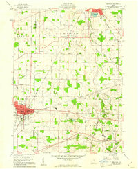 1960 Crestline1962 Print · USGSThe industrial rail hub of Crestline and Shelby comes into focus in 1960 as several major lines intersect. Genealogists and historians can trace family plots at Green Lawn Cem, locate the Drive-in Theater, and find early aviation sites like American Tower Landing Field.3 unique versions available
 - 1960 Map of Galion, 1962 Print
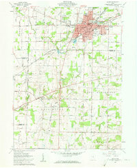 1960 Galion1962 Print · USGSMid-century Galion is captured here at the height of its rail-hub importance, where the major lines of the Midwest intersect. Genealogists and local historians can trace rural family plots like Autin Cem and Garverick Cem or explore early village life in Iberia and St James.3 unique versions available
 - 1961 Map of Blooming Grove, 1962 Print
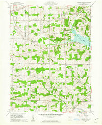 1961 Blooming Grove1962 Print · USGSThe borderlands of Morrow and Richland counties are captured here in the early sixties as the Clear Fork Reservoir shapes the landscape. Family historians can trace small crossroads communities like Blooming Grove, Steam Corners, and Jugs Corners, along with local burial sites including Red Squirrel Cem.4 unique versions available
 - 1962 Map of Marion
 1962 Marion1962 Print · USGSCentral Ohio during the post-war era showcases a dense network of railroad towns and emerging interstate highways. Genealogists can trace family roots in smaller settlements like Houcktown and Marseilles or locate landmarks near Indian Lake.
 - 1966 Map of Marion, 1968 Print
 1966 Marion1968 Print · USGSCentral Ohio in the mid-sixties is captured during a period of rapid highway expansion and industrial connectivity. Genealogists and historians can trace rail-and-river networks through towns like Marion, Urbana, and Mount Vernon, or locate landmarks such as Malabar Farm and Black Hand Rock.3 unique versions available
 - 1986 Map of Mansfield
 1986 Mansfield1986 Print · USGSNorth-central Ohio in the mid-eighties shows a landscape of industrial towns and large-scale water management projects. Researchers can trace historic sites like the Mansfield Reformatory, Malabar Farm State Park, and the racing grounds at Mid-Ohio Race Course.
 - 1994 Map of Mansfield
 1994 Mansfield1994 Print · USGSThe Mansfield and Ashland corridor of the 1990s reveals a landscape of industrial rail junctions and extensive state forests. You can trace the drainage of the Mohican River through reservoirs like Charles Mill Lake or locate sites such as Malabar Farm State Park.
 - 2010 Map of Crestline, 2010 Print
 2010 Crestline2010 Print · USGSCrawford County at the start of the 2010s shows a landscape of established rail-town heritage and quiet rural crossroads. Genealogists can trace family sites at Bethlehem Cemetery and Saint Josephs Cemetery, or locate old junctions like Five Corners and East Crestline.
 - 2010 Map of Galion, 2010 Print
 2010 Galion2010 Print · USGSThe Galion area at the start of the 21st century shows a mature agricultural landscape shaped by the Olentangy River and several large reservoirs. Researchers can trace family history at the German Evangelical Lutheran Cemetery or locate old community hubs like the Iberia Post Office and Crawford County Childrens Home.
 - 2010 Map of North Robinson, 2010 Print
 2010 North Robinson2010 Print · USGSCrawford County settlements and rural townships are captured here during the first decade of the millennium. Genealogists can trace family footprints at Sandusky Cemetery, Middletown, and the North Robinson Post Office.
 - 2010 Map of Blooming Grove, 2010 Print
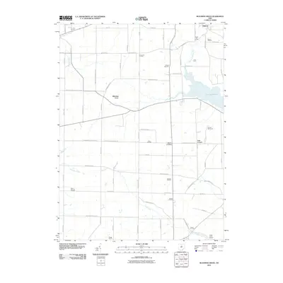 2010 Blooming Grove2010 Print · USGSThe Crawford and Morrow county line comes alive in this 2010 study of rural Ohio life. Researchers can trace family history through a dozen burial sites like Red Squirrel Cemetery or locate the famed Mid-Ohio Race Course.
 - 2013 Map of Galion, 2013 Print
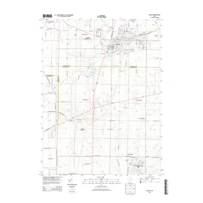 2013 Galion2013 Print · USGSGalion and the surrounding borderlands of Crawford and Morrow Counties are shown here during a period of modern residential growth. Genealogists can locate numerous rural burial sites like Iberia Cem and Zoar Cem or trace the early paths of E Harding Hwy.
 - 2013 Map of Crestline, 2013 Print
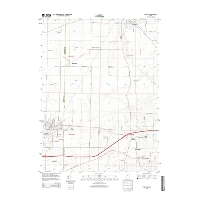 2013 Crestline2013 Print · USGSCrawford and Richland counties meet in this 2013 landscape, where the bustling hubs of Crestline and Galion anchor a region of deep family roots. Genealogists can trace early homesteads through numerous sites like Bethlehem Cem, Ontario Cem, and the historic Schroeder's Grain Farm.
 - 2013 Map of North Robinson, 2013 Print
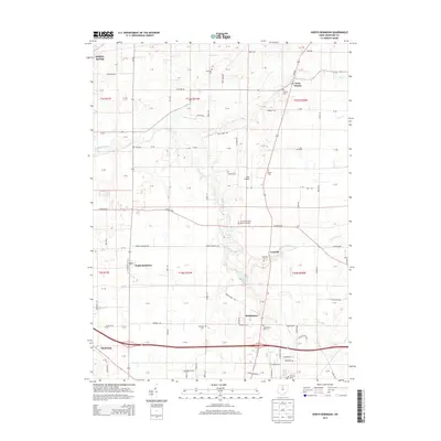 2013 North Robinson2013 Print · USGSCrawford County at the start of the 2010s reveals a structured landscape of established family farms and small rural hubs. Genealogists and local historians can trace family-named roads and burial sites like Biddle Cem, Windfall Cem, and the village of North Robinson.
Showing maps 1-25 of 38
Top cities near Galion
- Mansfield historical maps
- Bucyrus historical maps
- Shelby historical maps
- Ontario historical maps
- Crestline historical maps
- Lexington historical maps
See more
Top neighborhoods of Galion
Frequently asked questions
- What are the different types of historical maps available for Galion?
- What is the oldest map of Galion?
- Where can I purchase historical maps of Galion for my home or office?
- Where can I download high-res historical maps of Galion?
- Are there historical topographic maps available for Galion?
- Is there historical aerial imagery available for Galion?
- Where are historical maps of Galion sourced from?