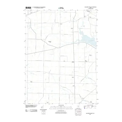
2010 Map of Blooming Grove
USGS Topo · Published 2010About this map
Blooming Grove and Steam Corners anchor this rural landscape along the Crawford Morrow County Line Rd, where headwaters and small airfields define the local geography. The area is a significant drainage divide, with the Olentangy River flowing to the west while the Clear Fork Mohican River feeds the prominent Clear Fork Reservoir to the east. This hydrology shaped the early settlement patterns and road networks that still crisscross the farmland today.
Find a feature on this map
44 named features on this map. Tap any name to fly to it.
Don’t see what you’re looking for? This feature index may not catch every label — zoom into the map to look around manually.
Map Details
Editions of this 2010 Blooming Grove Map
This is the sole edition of this map. No revisions or reprints were ever made.
Other maps of this area

1913 · Mount Gilead
USGS Topo · 1:62,500

1915 · Bucyrus
USGS Topo · 1:62,500

1915 · Crestline
USGS Topo · 1:62,500

1915 · Shauck
USGS Topo · 1:62,500

1916 · Mount Gilead
USGS Topo · 1:62,500

1943 · Shauck
USGS Topo · 1:62,500

1943 · Bucyrus
USGS Topo · 1:62,500

1943 · Crestline
USGS Topo · 1:62,500

1943 · Mount Gilead
USGS Topo · 1:62,500

1950 · Marion
USGS Topo · 1:250,000