Old Maps of Vernon Township, Ohio for Academic Research
Study the evolution of Vernon Township with 33 high-resolution historic maps. Whether you're teaching, researching, or modeling changes in land use, these maps provide essential visual documentation of urban, environmental, and geographic change.
- Analyze long-term change: Track patterns in development, transportation, and natural features.
- Ideal for environmental or urban studies: Support academic projects with primary historical map data.
- Use in the classroom or lab: Educators and researchers rely on these maps to bring historical context to life.
These maps are a powerful tool for teaching, research, and visualizing how Vernon Township has changed over the decades.
Vernon Township, OH maps
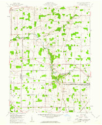
(33)- 1915 Map of Bucyrus, 1940 Print
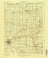 1915 Bucyrus1940 Print · USGSBucyrus and the surrounding Crawford County plains are captured here at the height of the steam-and-electric rail era. Genealogists can locate rural landmarks like the COUNTY INFIRMARY, trace family plots near Leesville, or find vanished schoolhouses like Muck School.
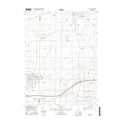
 - 1915 Map of Crestline, 1943 Print
 1915 Crestline1943 Print · USGSRichland and Crawford counties thrive as a vital railroad corridor in the years before the Great War. Genealogists can locate family homesteads near dozens of numbered district schools or trace the industrial pulse of Crestline, Shelby, and the Spore Mill.
 - 1943 Map of Bucyrus
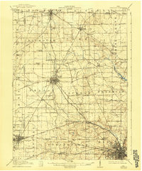
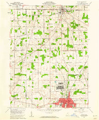
 1943 Bucyrus1943 Print · USGSCrawford County at the height of the Second World War reveals a landscape defined by busy rail junctions and rural school districts. Genealogists and historians can trace family roots through numerous numbered schoolhouses and settlements like Sulphur Springs, Tiro, and the County Infirmary.
 - 1943 Map of Crestline
 1943 Crestline1943 Print · USGSNorth-central Ohio is seen at a mid-century industrial peak, dominated by the massive rail corridors of the PENNSYLVANIA and ERIE lines. Genealogists and historians can trace the rural landscape through dozens of numbered schoolhouses and small settlements like Planktown, Ganges, and Toledo Jc.2 unique versions available
 - 1950 Map of Marion
 1950 Marion1950 Print · USGSCentral Ohio was a powerhouse of rail and river industry at the mid-century point, serving as a vital corridor between the Great Lakes and the Ohio River valley. Genealogists and rail historians can trace the paths of the Erie RR and Nickel Plate Road through towns like Bucyrus, Galion, and Upper Sandusky.
 - 1960 Map of North Robinson, 1961 Print
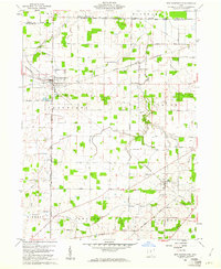
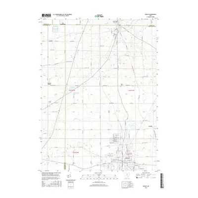
 1960 North Robinson1961 Print · USGSCrawford County at the start of the sixties shows a landscape defined by the intersection of major railroads and quiet rural hamlets. Genealogists can trace family landmarks like Windfall Cem and Immanuel Ch, or locate the site of the old Drive-In Theater.4 unique versions available
 - 1960 Map of Shelby, 1961 Print
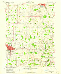
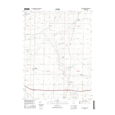
 1960 Shelby1961 Print · USGSThe Richland County countryside was a landscape of military readiness and rail industry in the early sixties. Trace old family plots at Hanna Cem, visit the rural Little Rebecca Ch, or locate the sprawling Wilkins Air Force Station.3 unique versions available
 - 1960 Map of New Washington, 1961 Print
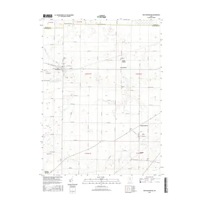
 1960 New Washington1961 Print · USGSCrawford and Huron counties are documented here in the early sixties, showing a landscape shaped by early land grants and the railroad economy. Genealogists can trace family footprints across New Washington and Tiro, or locate rural landmarks like St Bernard Cem and Dickson Cem.2 unique versions available
 - 1960 Map of Crestline, 1962 Print
 1960 Crestline1962 Print · USGSThe industrial rail hub of Crestline and Shelby comes into focus in 1960 as several major lines intersect. Genealogists and historians can trace family plots at Green Lawn Cem, locate the Drive-in Theater, and find early aviation sites like American Tower Landing Field.3 unique versions available
 - 1962 Map of Marion
 1962 Marion1962 Print · USGSCentral Ohio during the post-war era showcases a dense network of railroad towns and emerging interstate highways. Genealogists can trace family roots in smaller settlements like Houcktown and Marseilles or locate landmarks near Indian Lake.
 - 1966 Map of Marion, 1968 Print
 1966 Marion1968 Print · USGSCentral Ohio in the mid-sixties is captured during a period of rapid highway expansion and industrial connectivity. Genealogists and historians can trace rail-and-river networks through towns like Marion, Urbana, and Mount Vernon, or locate landmarks such as Malabar Farm and Black Hand Rock.3 unique versions available
 - 1986 Map of Mansfield
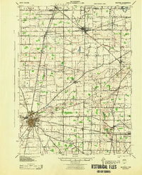
 1986 Mansfield1986 Print · USGSNorth-central Ohio in the mid-eighties shows a landscape of industrial towns and large-scale water management projects. Researchers can trace historic sites like the Mansfield Reformatory, Malabar Farm State Park, and the racing grounds at Mid-Ohio Race Course.
 - 1994 Map of Mansfield
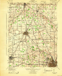
 1994 Mansfield1994 Print · USGSThe Mansfield and Ashland corridor of the 1990s reveals a landscape of industrial rail junctions and extensive state forests. You can trace the drainage of the Mohican River through reservoirs like Charles Mill Lake or locate sites such as Malabar Farm State Park.
 - 2010 Map of Crestline, 2010 Print
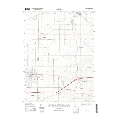
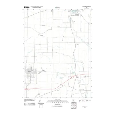 2010 Crestline2010 Print · USGSCovers Vernon Township, including Galion, Shelby, and other nearby areas
 - 2010 Map of North Robinson, 2010 Print
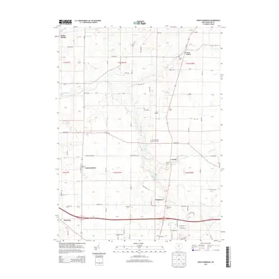
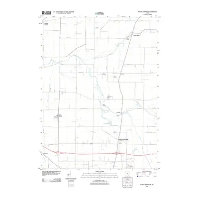 2010 North Robinson2010 Print · USGSCovers Vernon Township, including Galion, Crestline, and other nearby areas
 - 2010 Map of Shelby, 2010 Print
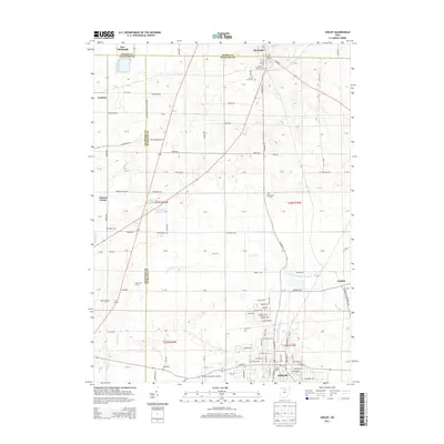
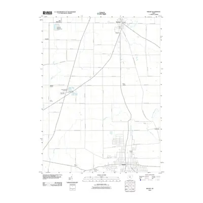 2010 Shelby2010 Print · USGSCovers Vernon Township, including Shelby, Plymouth, and other nearby areas
 - 2010 Map of New Washington, 2010 Print
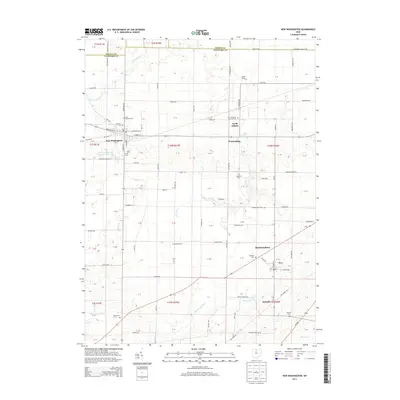
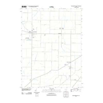 2010 New Washington2010 Print · USGSCovers Vernon Township, including New Washington, Tiro, and other nearby areas
 - 2013 Map of Crestline, 2013 Print
 2013 Crestline2013 Print · USGSCovers Vernon Township, including Galion, Shelby, and other nearby areas
 - 2013 Map of New Washington, 2013 Print
 2013 New Washington2013 Print · USGSCovers Vernon Township, including New Washington, Tiro, and other nearby areas
 - 2013 Map of North Robinson, 2013 Print
 2013 North Robinson2013 Print · USGSCovers Vernon Township, including Galion, Crestline, and other nearby areas
 - 2013 Map of Shelby, 2013 Print
 2013 Shelby2013 Print · USGSCovers Vernon Township, including Shelby, Plymouth, and other nearby areas
 - 2016 Map of Crestline, 2016 Print
 2016 Crestline2016 Print · USGSCovers Vernon Township, including Galion, Shelby, and other nearby areas
 - 2016 Map of New Washington, 2016 Print
 2016 New Washington2016 Print · USGSCovers Vernon Township, including New Washington, Tiro, and other nearby areas
 - 2016 Map of Shelby, 2016 Print
 2016 Shelby2016 Print · USGSCovers Vernon Township, including Shelby, Plymouth, and other nearby areas
 - 2016 Map of North Robinson, 2016 Print
 2016 North Robinson2016 Print · USGSCovers Vernon Township, including Galion, Crestline, and other nearby areas
Showing maps 1-25 of 33
Top cities near Vernon Township
- Mansfield historical maps
- Bucyrus historical maps
- Galion historical maps
- Shelby historical maps
- Willard historical maps
- Ontario historical maps
See more
Top neighborhoods of Vernon Township
Frequently asked questions
- What are the different types of historical maps available for Vernon Township?
- What is the oldest map of Vernon Township?
- Where can I purchase historical maps of Vernon Township for my home or office?
- Where can I download high-res historical maps of Vernon Township?
- Are there historical topographic maps available for Vernon Township?
- Is there historical aerial imagery available for Vernon Township?
- Where are historical maps of Vernon Township sourced from?