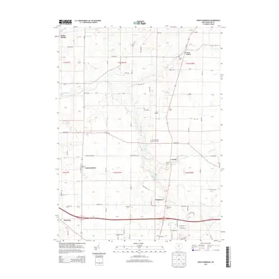
2013 Map of North Robinson
USGS Topo · Published 2013About this map
North Robinson and the surrounding Crawford County townships are defined by a dense network of country roads and family cemeteries that reflect generations of agricultural settlement. The headwaters of the Sandusky River wind through the northwestern corner near Sulphur Springs, while the southern reaches of the map are bisected by the Lincoln Hwy, a primary artery for mid-century commerce and travel. Small communities like Leesville and Middletown serve as anchors in a landscape dotted with numerous historic burial sites, including Sandusky Cem, Liberty Cem, and the Crawford County Memory Garden.
Find a feature on this map
105 named features on this map. Tap any name to fly to it.
Don’t see what you’re looking for? This feature index may not catch every label — zoom into the map to look around manually.
Map Details
Editions of this 2013 North Robinson Map
This is the sole edition of this map. No revisions or reprints were ever made.
Other maps of this area

1913 · Mount Gilead
USGS Topo · 1:62,500

1915 · Bucyrus
USGS Topo · 1:62,500

1915 · Crestline
USGS Topo · 1:62,500

1915 · Shauck
USGS Topo · 1:62,500

1916 · Mount Gilead
USGS Topo · 1:62,500

1943 · Shauck
USGS Topo · 1:62,500

1943 · Bucyrus
USGS Topo · 1:62,500

1943 · Crestline
USGS Topo · 1:62,500

1943 · Mount Gilead
USGS Topo · 1:62,500

1950 · Marion
USGS Topo · 1:250,000