Old Maps of Chagrin Falls, Ohio for Hiking & Exploration
Hike through history with 22 historic maps of Chagrin Falls. Explore old trails, ghost towns, and forgotten backroads — perfect for outdoor adventurers and local explorers.
- Rediscover forgotten places: Map out old mining camps, roads, and footpaths that no longer exist on modern maps.
- Layer with modern tools: Combine with LiDAR or satellite views to plan hikes through historical terrain.
- Made for exploration: Popular among hikers, overlanders, and local history lovers.
Use these maps to find adventure and explore the hidden past of Chagrin Falls.
Chagrin Falls, OH maps
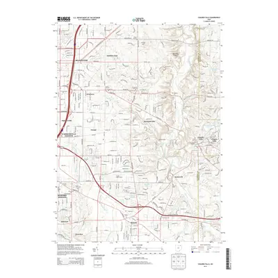
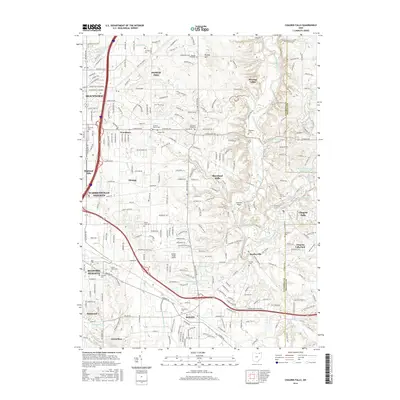
(22)- 1906 Map of Chagrin Falls, 1955 Print
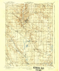
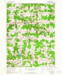
 1906 Chagrin Falls1955 Print · USGSThe Western Reserve landscape of Northeast Ohio is captured here during a period of rapid transit growth and settlement. Researchers can trace early township hubs and rail stops like Falls Junction Glenwillow PO, Orange Hill Church, and the winding Cleveland and Garrettsville Electric RR.
 - 1908 Map of Chagrin Falls, 1939 Print
 1908 Chagrin Falls1939 Print · USGSThe Chagrin Valley at the turn of the century was a crossroads of electric interurban lines and early rural post offices. Trace the old rail stops at Aurora Station and Cannons Crossing, or locate family landmarks like Orange Hill Church.2 unique versions available
 - 1950 Map of Cleveland
 1950 Cleveland1950 Print · USGSCovers Chagrin Falls, including Cleveland, Akron, and other nearby areas
 - 1953 Map of South Russell, 1954 Print
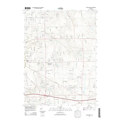
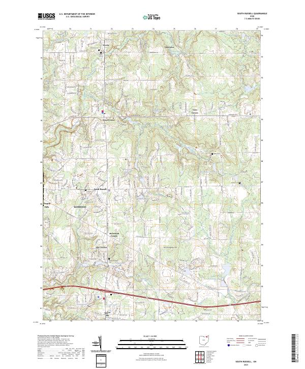
 1953 South Russell1954 Print · USGSGeauga County’s rolling landscape is shown here in the early fifties as the area began transitioning from rural farmsteads to suburban enclaves. Researchers can trace historic cemeteries and civic landmarks like Music Cem, Novelty P O, and the Chagrin Falls Airport.
 - 1953 Map of Chagrin Falls, 1955 Print
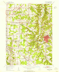 1953 Chagrin Falls1955 Print · USGSCuyahoga County in the mid-1950s shows a landscape of growing suburbs, river valleys, and recreational estates. Researchers can find numerous historic cemeteries and social landmarks such as Beechbrook Orphanage, Orange Hill Cem, and the Solon Airport.
 - 1956 Map of Cleveland, 1967 Print
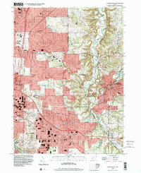
 1956 Cleveland1967 Print · USGSNortheast Ohio and Western Pennsylvania are shown at their industrial height during the mid-fifties, from the steel mills to the lakeshore. Researchers can trace the massive Ravenna Arsenal, the Ohio Turnpike, and vanished rail sidings of the B & O RR.3 unique versions available
 - 1962 Map of Cleveland
 1962 Cleveland1962 Print · USGSNortheast Ohio and the Pennsylvania borderlands appear here during the industrial peak of the early sixties. Genealogists and historians can trace the expansive rail lines of the Nickel Plate Road and the growth of suburbs from Parma to Lyndhurst.
 - 1963 Map of Chagrin Falls, 1964 Print
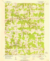
 1963 Chagrin Falls1964 Print · USGSThe Chagrin River valley and its surrounding townships are shown here in the early sixties as suburban growth moved eastward. Researchers can trace family sites at Woodland Cem or locate old landmarks like the Solon Airport and Ursuline Academy.6 unique versions available
 - 1963 Map of South Russell, 1964 Print
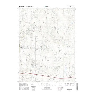
 1963 South Russell1964 Print · USGSGeauga County in the early sixties reveals a landscape of growing lakeside communities and historic crossroads. Genealogists and researchers can trace local family roots through sites like Morton Cem, Novelty PO, and the Westwood Sch.5 unique versions available
 - 1986 Map of Cleveland South
 1986 Cleveland South1986 Print · USGSNortheast Ohio in the mid-eighties shows the expanding reach of the Akron and Cleveland suburbs into the surrounding countryside. Trace the industrial rail networks of the Erie Lackawanna RR or find local landmarks like Kent State University and the Ravenna Arsenal.
 - 1994 Map of Cleveland South
 1994 Cleveland South1994 Print · USGSThe metropolitan corridor between Akron and Cleveland is shown here in the mid-nineties during a period of significant suburban growth. Researchers can trace the path of the Ohio Turnpike or explore expansive recreation lands like West Branch State Park.
 - 1994 Map of Chagrin Falls, 2000 Print
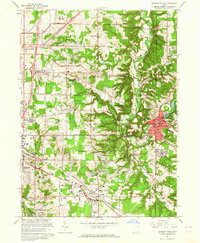
 1994 Chagrin Falls2000 Print · USGSEastern Cuyahoga County and the Chagrin Valley are shown here in the late twentieth century as suburban residential growth met preserved parklands. Genealogists and local historians can trace landmarks like Evergreen Cem, Bentleyville, and the industrial Millpond in Chagrin Falls.
 - 2010 Map of South Russell, 2010 Print
 2010 South Russell2010 Print · USGSCovers Chagrin Falls, including South Russell, Bainbridge Township, and other nearby areas
 - 2010 Map of Chagrin Falls, 2010 Print
 2010 Chagrin Falls2010 Print · USGSCovers Chagrin Falls, including Solon, Beachwood, and other nearby areas
 - 2013 Map of Chagrin Falls, 2013 Print
 2013 Chagrin Falls2013 Print · USGSCovers Chagrin Falls, including Solon, Beachwood, and other nearby areas
 - 2013 Map of South Russell, 2013 Print
 2013 South Russell2013 Print · USGSCovers Chagrin Falls, including South Russell, Bainbridge Township, and other nearby areas
 - 2016 Map of South Russell, 2016 Print
 2016 South Russell2016 Print · USGSCovers Chagrin Falls, including South Russell, Bainbridge Township, and other nearby areas
 - 2016 Map of Chagrin Falls, 2016 Print
 2016 Chagrin Falls2016 Print · USGSCovers Chagrin Falls, including Solon, Beachwood, and other nearby areas
 - 2019 Map of Chagrin Falls, 2019 Print
 2019 Chagrin Falls2019 Print · USGSCovers Chagrin Falls, including Solon, Beachwood, and other nearby areas
 - 2019 Map of South Russell, 2019 Print
 2019 South Russell2019 Print · USGSCovers Chagrin Falls, including South Russell, Bainbridge Township, and other nearby areas
 - 2023 Map of South Russell, 2023 Print
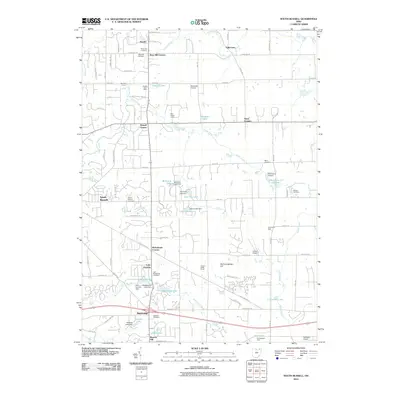
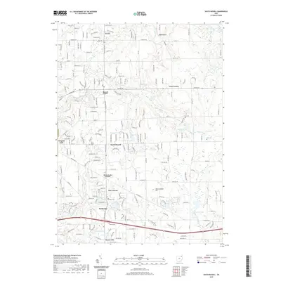
 2023 South Russell2023 Print · USGSGeauga County's suburban and rural transition is on display here in the early twenty-first century, showing a landscape shaped by the Chagrin River. Researchers can trace local history through numerous burial grounds like Munn Cem and South Russell Cem or explore established hamlets such as Novelty and Yates Corners.
 - 2023 Map of Chagrin Falls, 2023 Print
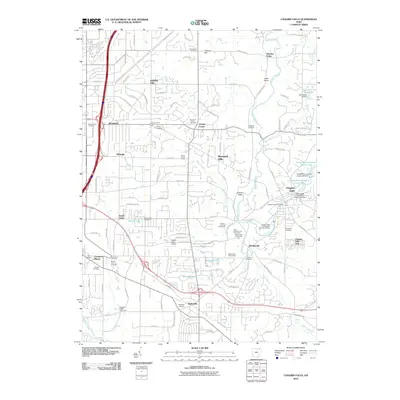
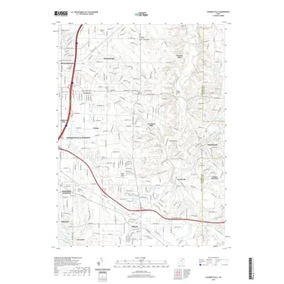
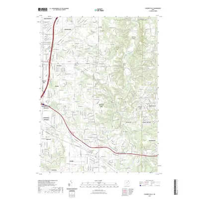 2023 Chagrin Falls2023 Print · USGSModern-day Cuyahoga County comes into focus as a blend of established villages and quiet river valleys. Researchers can trace family sites at Grove Hill Cemetery or explore landmarks like Ursuline College and the Chagrin Falls Park.
End of results
Showing maps 1-22 of 22
Top cities near Chagrin Falls
- Cleveland historical maps
- Cuyahoga Falls historical maps
- Euclid historical maps
- Mentor historical maps
- Cleveland Heights historical maps
- Garfield Heights historical maps
See more
Top neighborhoods of Chagrin Falls
- Chagrin Falls West Side Historic District historical maps
- Chagrin Falls Triangle Park Commercial Historic District historical maps
Frequently asked questions
- What are the different types of historical maps available for Chagrin Falls?
- What is the oldest map of Chagrin Falls?
- Where can I purchase historical maps of Chagrin Falls for my home or office?
- Where can I download high-res historical maps of Chagrin Falls?
- Are there historical topographic maps available for Chagrin Falls?
- Is there historical aerial imagery available for Chagrin Falls?
- Where are historical maps of Chagrin Falls sourced from?