Old Maps of Sandusky, Ohio for Metal Detecting
Plan your next treasure hunt with 27 historic maps of Sandusky. Find old homesites, ghost towns, trails, and gathering spots that may be lost to time — perfect for identifying promising metal detecting locations.
- Locate forgotten sites: Uncover places like long-lost settlements, abandoned rail lines, or gathering spots.
- Plan better hunts: Use map overlays combined with LiDAR or satellite views to narrow in on historically rich areas.
- Made for detectorists: Thousands of hobbyists use these maps to discover relics, coins, and hidden history.
Use these historic maps to boost your research and find new opportunities beneath the surface of Sandusky.
Sandusky, OH maps
(27)- 1901 Map of Bellevue, 1958 Print
 1901 Bellevue1958 Print · USGSAcross the marshy lowlands and limestone springs of Erie and Sandusky counties at the turn of the century, a massive railroad network dominates the landscape. Genealogists can trace family footprints in Clyde and Bellevue or locate vanished rail stops at Thames and Parkertown.
 - 1903 Map of Bellevue
 1903 Bellevue1903 Print · USGSNear the dawn of the twentieth century, the junction of Erie and Sandusky counties was a bustling corridor of rail and water transport. Genealogists and historians can trace the early footprints of Bellevue and Clyde, or find specific local landmarks like the Blue Hole and the Connecticut Western Reserve Boundary Line.5 unique versions available
 - 1904 Map of Sandusky, 1941 Print
 1904 Sandusky1941 Print · USGSThe Lake Erie shoreline at the turn of the century shows a bustling rail-and-port economy centered on Sandusky and the Huron River. Researchers can trace early infrastructure like the Electric Line and vanished landmarks such as the State Soldiers Home.3 unique versions available
 - 1956 Map of Toledo, 1968 Print
 1956 Toledo1968 Print · USGSNorthwest Ohio and the Lake Erie shoreline are shown in detail during the late fifties, showcasing a landscape of heavy industry, railroads, and island communities. Genealogists and historians can trace rail networks like the Chesapeake & Ohio RR or locate landmarks such as the Erie Proving Ground and Kelleys Island.4 unique versions available
 - 1959 Map of Sandusky, 1960 Print
 1959 Sandusky1960 Print · USGSSandusky thrived as a hub of rail and lake commerce in the late fifties, from its busy Turning Basin to the vast Plum Brook Ordnance Works. Local researchers can trace family plots at Sandusky Cemetery or locate old neighborhood landmarks like Barker Sch and St Joseph Ch.
 - 1959 Map of Huron, 1961 Print
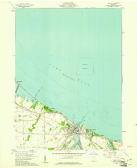 1959 Huron1961 Print · USGSThe shoreline of Lake Erie in the late fifties was a stretch of evolving lakeside communities and industrial rail activity. Genealogists and historians can trace the early layouts of Rye Beach, Chaska Beach, and Huron, alongside the busy New York Central rail lines.
 - 1959 Map of Castalia, 1965 Print
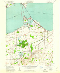 1959 Castalia1965 Print · USGSCoastal Erie County and the Sandusky Bay shoreline are captured here in the late fifties as rail lines and industrial quarries defined the local economy. Genealogists and researchers can locate the Trinity Ch, trace the Pennsylvania Railroad, or find the Blue Hole and Township Sch.
 - 1961 Map of Toledo
 1961 Toledo1961 Print · USGSThe western basin of Lake Erie and the industrial heart of Northern Ohio are captured here during the post-war era. Researchers can trace historical rail lines like the New York Central or locate landmarks like the Erie Ordnance Depot and Pelee Island.
 - 1969 Map of Huron, 1971 Print
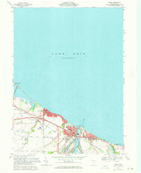 1969 Huron1971 Print · USGSHuron and the Erie county coast are shown here in the late sixties as the lakefront transitioned from industrial rail hub to an expanding college town. Genealogists and researchers can trace the growth of Huron and Oberlin Beach, locating landmarks like Restlawn Memorial Park and the Fireland Campus.3 unique versions available
 - 1969 Map of Sandusky, 1971 Print
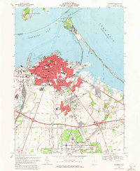 1969 Sandusky1971 Print · USGSSandusky and the Lake Erie shoreline are shown here in the late sixties, just as the region’s aerospace and tourism sectors were peaking. Trace local roots through a dense network of parish schools and burial grounds like St Josephs Cem or locate the sprawling NASA Lewis Research Center.5 unique versions available
 - 1969 Map of Castalia, 1971 Print
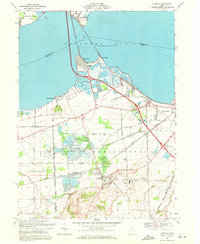 1969 Castalia1971 Print · USGSCoastal Erie County and the southern shores of Sandusky Bay come into focus in the late sixties, showcasing a landscape defined by water and industry. Genealogists and local historians can trace the foundations of Venice and Castalia, or locate the Oak Lawn Cem and Bogart Sch.2 unique versions available
 - 1986 Map of Lorain
 1986 Lorain1986 Print · USGSThe Lake Erie shoreline and North Central Ohio interior are shown in detail during the mid-eighties, from the industrial docks of Lorain to the peninsulas of Sandusky. Researchers can trace historic transport routes like the Baltimore and Ohio Railroad or locate significant landmarks like Oberlin College and Cedar Point.2 unique versions available
 - 2010 Map of Huron, 2010 Print
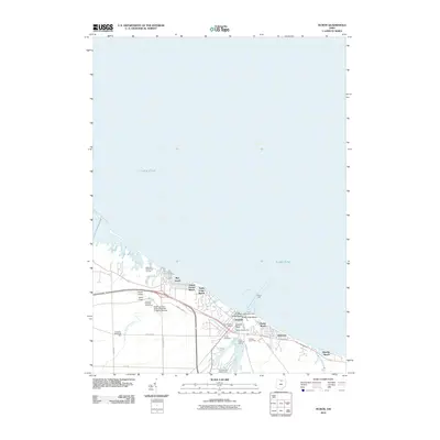 2010 Huron2010 Print · USGSThe Erie County shoreline at Huron comes into sharp focus during the early 2000s, showcasing a landscape of lakeside beaches and collegiate grounds. Researchers can trace local heritage from the Huron Cemetery to landmarks like the Main Breakwater Light and the James H McBride Arboretum.
 - 2010 Map of Castalia, 2010 Print
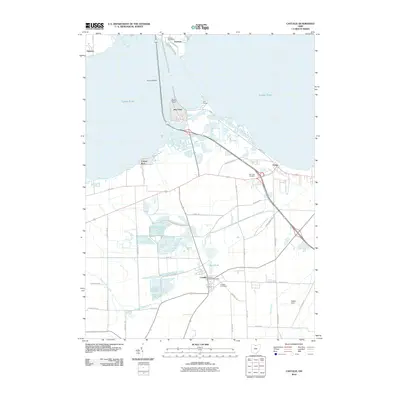 2010 Castalia2010 Print · USGSThe Erie County shoreline near Sandusky is captured here during the first decade of the millennium, showcasing the unique hydrology of Castalia. Researchers can trace old family sites near Oak Lawn Cemetery and the famous artesian Blue Hole.
 - 2010 Map of Sandusky, 2010 Print
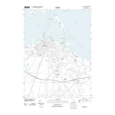 2010 Sandusky2010 Print · USGSThe Lake Erie shoreline at Sandusky is captured here in the early twenty-first century, showing the city's transition from an industrial port to a recreation hub. Researchers can trace historic burial sites like the Confederate Cemetery and landmarks such as the Sandusky Pier Light.
 - 2013 Map of Huron, 2013 Print
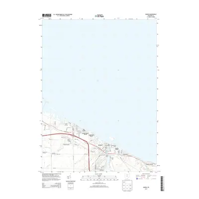 2013 Huron2013 Print · USGSHuron and its neighboring Lake Erie shorelines are captured here in the early twenty-first century as a vibrant maritime and educational center. Genealogists and local historians can trace family sites at Huron Cem or explore the grounds of the James H. McBride Arboretum and Hinde Airport.
 - 2013 Map of Castalia, 2013 Print
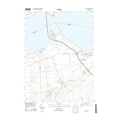 2013 Castalia2013 Print · USGSThe southern shores of Sandusky Bay are captured here in the early twenty-first century, showing the developed waterfronts and rural inland reaches of Erie County. Local historians can trace family locations near Castalia, Moore Dairy Farms, and the waters of the Blue Hole.
 - 2013 Map of Sandusky, 2013 Print
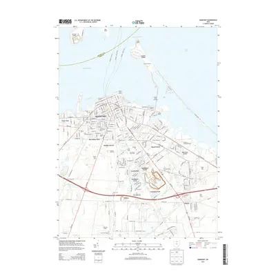 2013 Sandusky2013 Print · USGSCoastal Sandusky at the start of the 2010s shows a landscape of storied cemeteries and world-famous shorelines. Researchers can trace local lineage at Cholera Cem and Saint Josephs Cem or locate the sprawling Erie County Fairgrounds.
 - 2016 Map of Castalia, 2016 Print
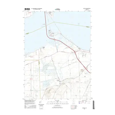 2016 Castalia2016 Print · USGSThe Erie County shoreline near Sandusky Bay is captured here during the mid-2010s, showing the modern layout of towns and waterways. Researchers can trace local lineage at Castalia Cem, locate the famous Blue Hole, or follow the path of Old Railroad Rd.
 - 2016 Map of Huron, 2016 Print
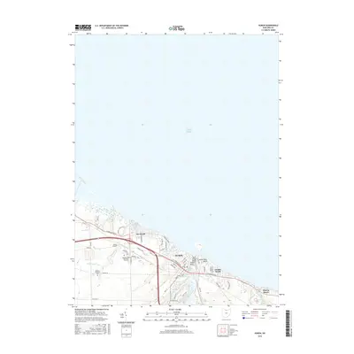 2016 Huron2016 Print · USGSThe Lake Erie shoreline in the mid-2010s shows a densely settled coast where the Huron River meets the lake. Genealogists and local historians can trace the boundaries of coastal neighborhoods like Rye Beach and Chaska Beach or locate Huron Cemetery.
 - 2016 Map of Sandusky, 2016 Print
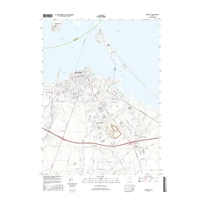 2016 Sandusky2016 Print · USGSSandusky and the Lake Erie shoreline are shown in detail during the mid-2010s, capturing the city's complex interface with the water. Researchers can trace historic burial sites like Cholera Cem and the Ohio Veterans Home Cem or locate the famed Cedar Point peninsula.
 - 2019 Map of Huron, 2019 Print
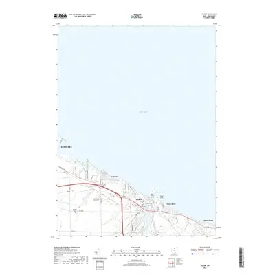 2019 Huron2019 Print · USGSThe Lake Erie shoreline in Erie County comes into focus in this recent study of the coastal settlements and marshlands. Researchers can locate family sites and local landmarks from Rye Beach to Oberlin Beach, including the Huron Cemetery and Hinde Airport.
 - 2019 Map of Sandusky, 2019 Print
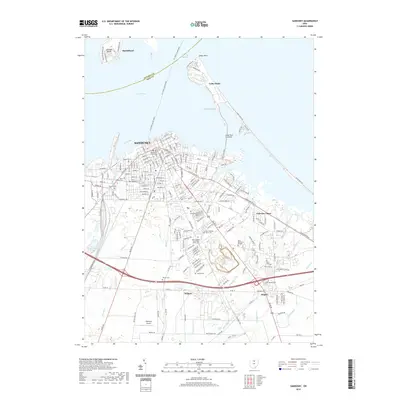 2019 Sandusky2019 Print · USGSCoastal Ohio comes into sharp focus in the late 2010s, detailing the maritime and urban character of the Lake Erie shoreline. Researchers can locate specialized sites like Cholera Cem, the Erie County Courthouse, and the grounds of Cedar Point.
 - 2019 Map of Castalia, 2019 Print
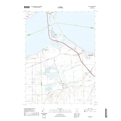 2019 Castalia2019 Print · USGSThe western edges of Sandusky and the village of Castalia are detailed in the late 2010s as they meet the waters of Lake Erie. Trace local history through the Oak Lawn Cem, the waters of the Blue Hole, and the bayside community of Bay View.
 - 2023 Map of Sandusky, 2023 Print
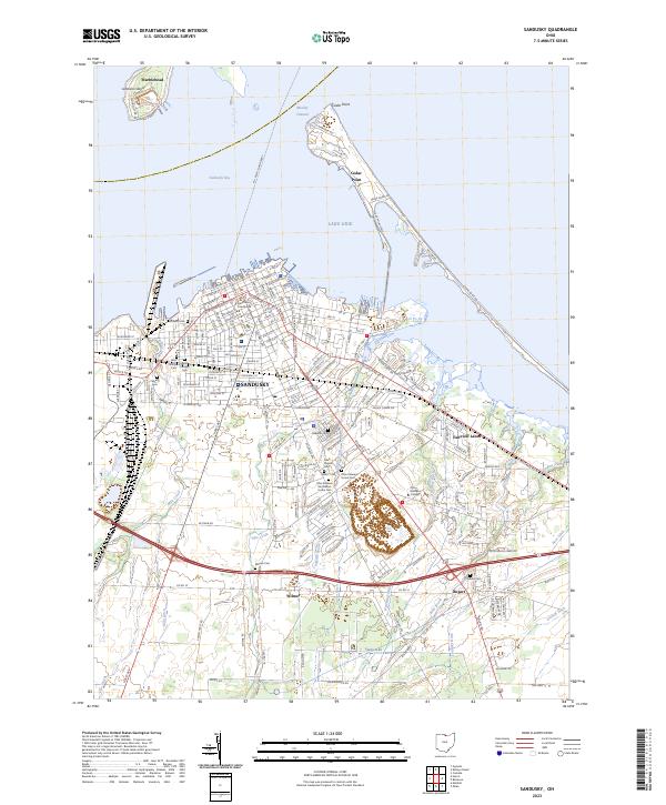 2023 Sandusky2023 Print · USGSThe Lake Erie shoreline and Sandusky’s urban grid appear here in high detail, showing the city's growth and maritime infrastructure. Genealogists can locate several significant burial sites, including the Cholera Cem, Saint Marys Cem, and the Ohio Veterans Home Cem.
Showing maps 1-25 of 27
Top cities near Sandusky
- Norwalk historical maps
- Port Clinton historical maps
- Danbury historical maps
- Bellevue historical maps
- Milan historical maps
- Catawba Island historical maps
See more
Top neighborhoods of Sandusky
- MacArthur Park historical maps
- Venice historical maps
- Schade-Mylander Plaza historical maps
- Kilbourne Plat historical maps
- McKelvey Plat historical maps
- South Side historical maps
See more
Frequently asked questions
- What are the different types of historical maps available for Sandusky?
- What is the oldest map of Sandusky?
- Where can I purchase historical maps of Sandusky for my home or office?
- Where can I download high-res historical maps of Sandusky?
- Are there historical topographic maps available for Sandusky?
- Is there historical aerial imagery available for Sandusky?
- Where are historical maps of Sandusky sourced from?