Old Maps of Fayette County, Ohio for Metal Detecting
Plan your next treasure hunt with 79 historic maps of Fayette County. Find old homesites, ghost towns, trails, and gathering spots that may be lost to time — perfect for identifying promising metal detecting locations.
- Locate forgotten sites: Uncover places like long-lost settlements, abandoned rail lines, or gathering spots.
- Plan better hunts: Use map overlays combined with LiDAR or satellite views to narrow in on historically rich areas.
- Made for detectorists: Thousands of hobbyists use these maps to discover relics, coins, and hidden history.
Use these historic maps to boost your research and find new opportunities beneath the surface of Fayette County.
Fayette County, OH maps
(79)- 1906 Map of Mt Sterling, 1946 Print
 1906 Mt Sterling1946 Print · USGSCentral Ohio at the start of the twentieth century is a landscape of thriving rail hubs and rural townships. Trace the convergence of five railroads at Washington Courthouse and find family landmarks like the County Infirmary or Bloomingburg.
 - 1916 Map of Octa, 1941 Print
 1916 Octa1941 Print · USGSFayette and Greene Counties are captured here at a peak of rural development, prior to the consolidation of its numerous neighborhood school districts. You can trace the rail-era infrastructure of Octa and Jeffersonville or locate early community sites like Dakin Chapel and the Selden PO.
 - 1917 Map of Greenfield, 1937 Print
 1917 Greenfield1937 Print · USGSSouthern Ohio at the start of the Great War was a network of rail-side towns and rural school districts. Genealogists can trace family roots through numerous local landmarks like Rock Mills, South Salem, and dozens of named schoolhouses such as Sunshine School.2 unique versions available
 - 1917 Map of Sabina, 1943 Print
 1917 Sabina1943 Print · USGSSouthwestern Ohio at the eve of the Great War is a landscape of rural hamlets and railroad junctions. Genealogists can locate family-named landmarks like Snider School or trace the early paths of Darktown and Centerville Lees Creek PO.
 - 1943 Map of Sabina
 1943 Sabina1943 Print · USGSMid-century Clinton and Highland counties are shown here as a landscape of rail-connected towns and crossroads hamlets. Genealogists can trace family footprints through numerous rural schools like Slickaway Sch, Powderlick Sch, and the Centerville Lees Creek P O.
 - 1944 Map of Greenfield
 1944 Greenfield1944 Print · USGSMid-century Highland and Ross Counties center on the rail crossroads of Greenfield during the final years of the war. Genealogists can trace rural family life through dozens of named schoolhouses like Pikes Peak Sch and early settlements such as South Salem or Good Hope.
 - 1944 Map of Octa
 1944 Octa1944 Print · USGSSouthwestern Ohio at the end of the Second World War shows a landscape dense with rural schoolhouses and rail-connected villages. Genealogists can trace family roots through dozens of local landmarks like Sugar Grove Sch, Selden PO, and the junction at Octa.
 - 1947 Map of Columbus, 1948 Print
 1947 Columbus1948 Print · USGSCentral Ohio in the late 1940s is captured in this survey, showing the post-war transition of its rail hubs and military airfield expansions. Genealogists and historians can trace the paths of the Ohio Canal, the Pennsylvania RR lines, and the Camp Sherman Military Reservation.
 - 1960 Map of Good Hope, 1962 Print
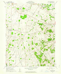 1960 Good Hope1962 Print · USGSFayette and Ross Counties are captured here in the early 1960s, showing a landscape defined by the Toledo and Ohio Central RR and small farming hamlets. Genealogists can locate family landmarks like Waugh Cem, Pisgah Ch, and the Rogers McElwain Cem.2 unique versions available
 - 1960 Map of New Martinsburg, 1962 Print
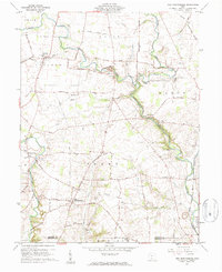 1960 New Martinsburg1962 Print · USGSFayette and Highland counties appear here in the early sixties, a landscape of ridge-top farms and deep creek valleys. Genealogists can locate family burial sites like Cochran Cem and Rock Mills Cem or trace the old Detroit Toledo and Ironton RR line.
 - 1961 Map of Columbus
 1961 Columbus1961 Print · USGSCentral and Southern Ohio are captured here in the early sixties, as the region's industrial rail hubs and military bases reached their peak. Genealogists and historians can trace the transition from urban Columbus to rural townships along the Scioto River, locating Lockbourne USAF and old junctions like Washington Court House.
 - 1961 Map of Memphis, 1962 Print
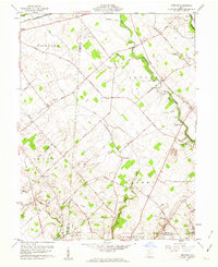 1961 Memphis1962 Print · USGSCentral Ohio’s agricultural landscape is captured here in the early 1960s, showing the rural communities of Sabina and Memphis. Genealogists can trace family roots at Evans Cem, Jeff Cem, and Anders Cem or locate the old Walnut Hill Sch.2 unique versions available
 - 1961 Map of Milledgeville, 1963 Print
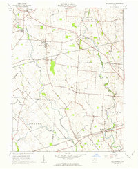 1961 Milledgeville1963 Print · USGSFayette and Clinton Counties are captured at a peak of rural rail activity in the early sixties. Genealogists can locate family burial sites at Asbury Chapel Cem or Hines Cem and trace the paths of the Baltimore and Ohio RR.3 unique versions available
 - 1961 Map of Jamestown, 1963 Print
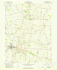 1961 Jamestown1963 Print · USGSJamestown and its surrounding agricultural townships are captured here in the early sixties, showing a landscape defined by small farming communities and historic burial grounds. Genealogists can trace family locations near the Quaker Cem, Old Silver Creek Cem, or the Township Sch at Grape Grove.2 unique versions available
 - 1961 Map of Washington Court House, 1963 Print
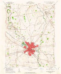 1961 Washington Court House1963 Print · USGSMid-century Fayette County comes alive in this survey of a major Ohio rail and road crossroads. Genealogists and local historians can trace family locations near Washington Court House, St Colmans Cem, and rural centers like Bloomingburg and Jonesboro.3 unique versions available
 - 1961 Map of New Holland, 1963 Print
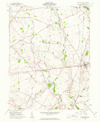 1961 New Holland1963 Print · USGSNew Holland and the surrounding townships of Pickaway and Fayette counties are captured here in the early sixties. Genealogists and local historians can trace family roots through numerous burial sites like Britton Chaffin Cem or locate the old Township Sch and the Pennsylvania railroad corridor.3 unique versions available
 - 1961 Map of Jeffersonville, 1963 Print
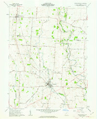 1961 Jeffersonville1963 Print · USGSThe rural crossing of Fayette and Madison counties is captured here in the early sixties, centered on the rail hub of Jeffersonville. Trace family history through numerous small plots like Hogue-Allen Cem and the Bookwalter Sch.3 unique versions available
 - 1961 Map of Bowersville, 1963 Print
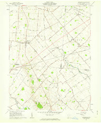 1961 Bowersville1963 Print · USGSThe rural landscape of Greene and Clinton counties is documented here in the early sixties, showing a region defined by its small farming settlements and family cemeteries. Genealogists can trace local roots at Hussey Cem and Grassy Run Cem or locate old community centers like Bowersville and Bloomington.2 unique versions available
 - 1961 Map of Midway, 1963 Print
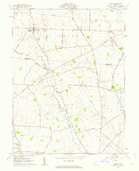 1961 Midway1963 Print · USGSMidway and the rural townships of Madison and Fayette counties are captured here in the early sixties, within the bounds of the old Virginia Military District. Genealogists and local historians can trace family roots at Union Chapel, Bethel Cem, or the small settlement of Yatesville.2 unique versions available
 - 1961 Map of Mount Sterling, 1963 Print
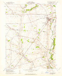 1961 Mount Sterling1963 Print · USGSMadison and Fayette counties come into focus during the early sixties as a network of rail and river commerce. Genealogists can trace family names at McClimansville Cemetery or Madison Mills Cem, and locate the Covered Bridge on Deer Creek.2 unique versions available
 - 1962 Map of Columbus
 1962 Columbus1962 Print · USGSCentral Ohio during the early sixties reveals a transition from the industrial corridors of Columbus to the forested ridges of the south. Genealogists and historians can trace the rail networks of the Baltimore & Ohio RR and find local landmarks like Washington Court House and Camp Sherman Military Reservation.
 - 1967 Map of Columbus, 1969 Print
 1967 Columbus1969 Print · USGSCentral Ohio during the late sixties serves as a vital corridor of rail and aviation, from the industrial streets of Springfield to the hangar lines of Lockbourne Air Force Base. Genealogists and researchers can trace the growth of towns like Circleville and London or locate rural landmarks such as St Paul church and the London Correctional Institution.2 unique versions available
 - 1986 Map of Springfield
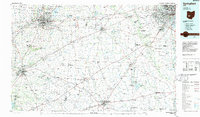 1986 Springfield1986 Print · USGSCentral Ohio in the mid-1980s shows the bustling rail-and-road network connecting Springfield and Xenia to the western outskirts of Columbus. Researchers can trace old family sites and transit routes through Glen Haven Mem Cem, Madison Lake State Park, and the CONRAIL line.2 unique versions available
 - 1986 Map of Hillsboro
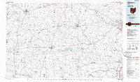 1986 Hillsboro1986 Print · USGSThe rural landscapes of Highland and Clinton counties appear in the mid-eighties as a busy corridor of railroads and regional airports. Genealogists and historians can trace old community centers like Reesville and Starbucktown alongside significant landmarks like Wilmington College and Fort Hill State Memorial.2 unique versions available
 - 2010 Map of Washington Court House, 2010 Print
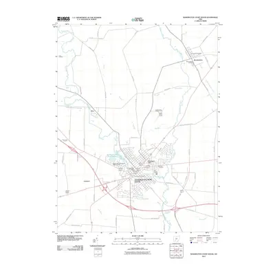 2010 Washington Court House2010 Print · USGSThe seat of Fayette County is captured here in the early 2000s, showing a well-established network of rural roads and waterways. Genealogists can trace family sites at Old Washington Cemetery, Bloomingburg Cemetery, or the institutional Fayette County Childrens Home.
Showing maps 1-25 of 79
Top cities of Fayette County
- Washington Court House historical maps
- Jeffersonville historical maps
- Bloomingburg historical maps
- Milledgeville historical maps
- Octa historical maps
Frequently asked questions
- What are the different types of historical maps available for Fayette County?
- What is the oldest map of Fayette County?
- Where can I purchase historical maps of Fayette County for my home or office?
- Where can I download high-res historical maps of Fayette County?
- Are there historical topographic maps available for Fayette County?
- Is there historical aerial imagery available for Fayette County?
- Where are historical maps of Fayette County sourced from?