2000s (21st Century) Maps of Mifflin Township, Ohio
Explore 20 historic maps of Mifflin Township from the 2000s (21st Century). These maps offer a rare glimpse into what life looked like during the 2000s — showing old roads, neighborhoods, homes, and landmarks that have changed or disappeared over time.
Whether you're researching your family's past, planning a metal detecting trip, or studying how Mifflin Township's landscape evolved across the 2000s, these high-resolution maps are a powerful tool for exploring the history of this region.
- Focus on a specific era: All maps on this page are from the 2000s, giving you a focused view of this time period.
- See what’s changed: Compare century-old streets, trails, and buildings to today's modern landscape using overlays and satellite layers.
- Research with precision: Use these maps for genealogy, historical research, land use analysis, or educational projects.
- View, download, or print: Maps are fully viewable online in high resolution, and can be downloaded or printed for your own records.
Start exploring Mifflin Township's history through authentic maps from the 2000s. This is your window into the past.
Mifflin Township, OH maps
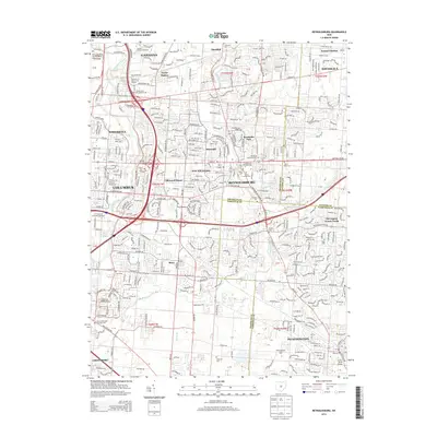
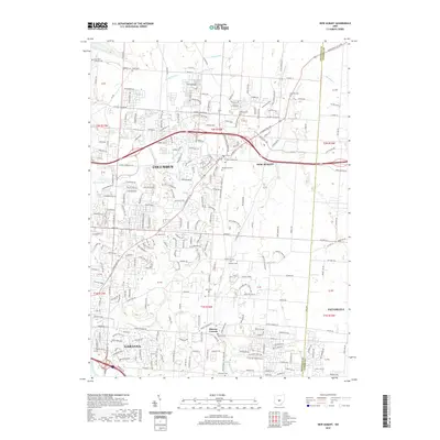
(20)- 2010 Map of Reynoldsburg, 2010 Print
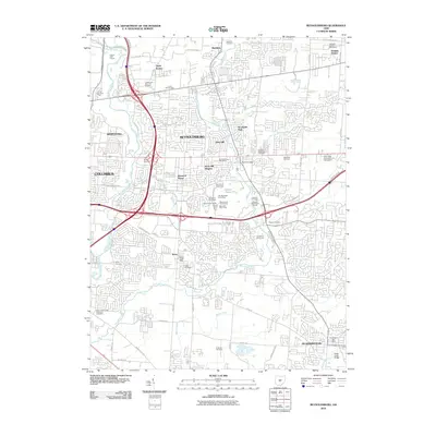 2010 Reynoldsburg2010 Print · USGSCovers Mifflin Township, including Columbus, Reynoldsburg, and other nearby areas
 - 2010 Map of Southeast Columbus, 2010 Print
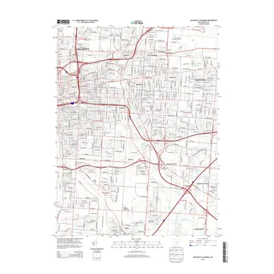
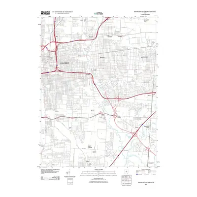 2010 Southeast Columbus2010 Print · USGSCovers Mifflin Township, including Columbus, Whitehall, and other nearby areas
 - 2010 Map of Northeast Columbus, 2010 Print
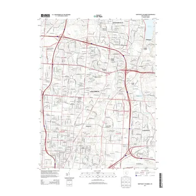
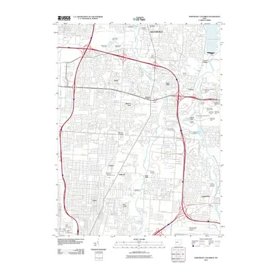 2010 Northeast Columbus2010 Print · USGSCovers Mifflin Township, including Columbus, Westerville, and other nearby areas
 - 2010 Map of New Albany, 2010 Print
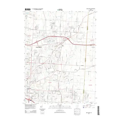
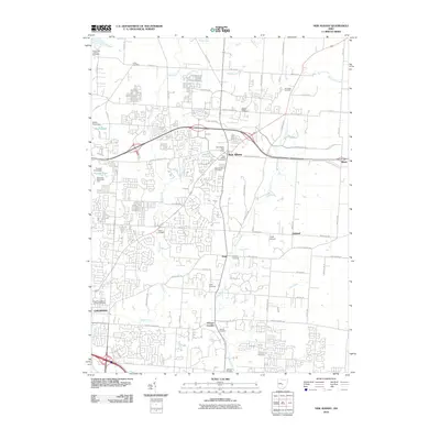 2010 New Albany2010 Print · USGSCovers Mifflin Township, including Columbus, Gahanna, and other nearby areas
 - 2013 Map of Reynoldsburg, 2013 Print
 2013 Reynoldsburg2013 Print · USGSCovers Mifflin Township, including Columbus, Reynoldsburg, and other nearby areas
 - 2013 Map of Southeast Columbus, 2013 Print
 2013 Southeast Columbus2013 Print · USGSCovers Mifflin Township, including Columbus, Whitehall, and other nearby areas
 - 2013 Map of Northeast Columbus, 2013 Print
 2013 Northeast Columbus2013 Print · USGSCovers Mifflin Township, including Columbus, Westerville, and other nearby areas
 - 2013 Map of New Albany, 2013 Print
 2013 New Albany2013 Print · USGSCovers Mifflin Township, including Columbus, Gahanna, and other nearby areas
 - 2016 Map of Northeast Columbus, 2016 Print
 2016 Northeast Columbus2016 Print · USGSCovers Mifflin Township, including Columbus, Westerville, and other nearby areas
 - 2016 Map of New Albany, 2016 Print
 2016 New Albany2016 Print · USGSCovers Mifflin Township, including Columbus, Gahanna, and other nearby areas
 - 2016 Map of Reynoldsburg, 2016 Print
 2016 Reynoldsburg2016 Print · USGSCovers Mifflin Township, including Columbus, Reynoldsburg, and other nearby areas
 - 2016 Map of Southeast Columbus, 2016 Print
 2016 Southeast Columbus2016 Print · USGSCovers Mifflin Township, including Columbus, Whitehall, and other nearby areas
 - 2019 Map of New Albany, 2019 Print
 2019 New Albany2019 Print · USGSCovers Mifflin Township, including Columbus, Gahanna, and other nearby areas
 - 2019 Map of Northeast Columbus, 2019 Print
 2019 Northeast Columbus2019 Print · USGSCovers Mifflin Township, including Columbus, Westerville, and other nearby areas
 - 2019 Map of Reynoldsburg, 2019 Print
 2019 Reynoldsburg2019 Print · USGSCovers Mifflin Township, including Columbus, Reynoldsburg, and other nearby areas
 - 2019 Map of Southeast Columbus, 2019 Print
 2019 Southeast Columbus2019 Print · USGSCovers Mifflin Township, including Columbus, Whitehall, and other nearby areas
 - 2023 Map of Southeast Columbus, 2023 Print
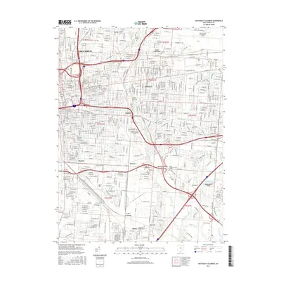
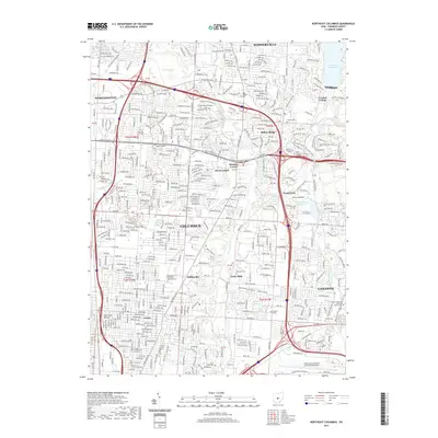
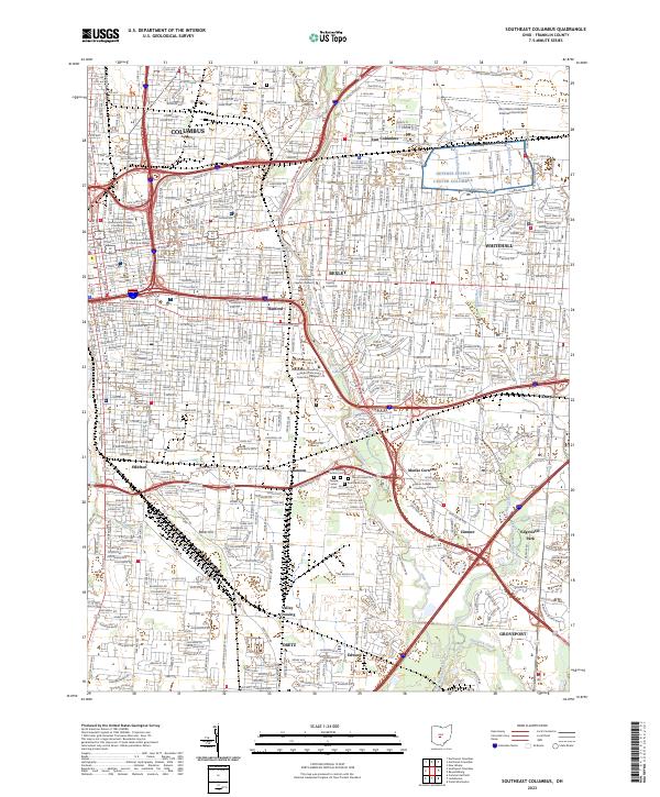 2023 Southeast Columbus2023 Print · USGSThe Columbus metropolitan area and its eastern suburbs are mapped here during a period of modern growth. Genealogists and researchers can trace the neighborhoods of Bexley and Whitehall, or locate landmarks like Evergreen Burial Park and Hanford.
 - 2023 Map of Reynoldsburg, 2023 Print
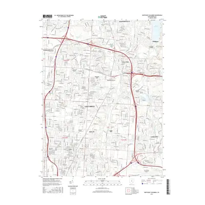
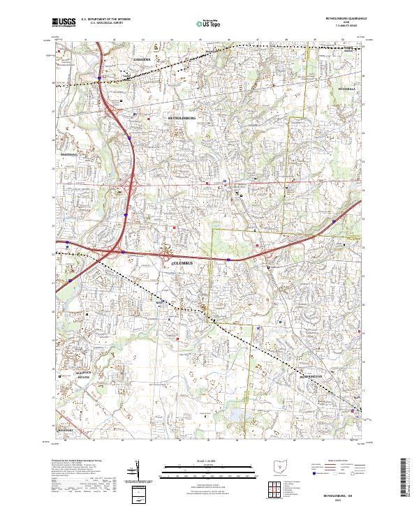 2023 Reynoldsburg2023 Print · USGSThe eastern suburbs of Columbus and Reynoldsburg are captured in the early twenty-first century as they continue to expand across three county lines. Genealogists can trace family history through dozens of burial sites including Glen Rest Memorial Cem, Hockman Cem, and Carlisle Cem.
 - 2023 Map of New Albany, 2023 Print
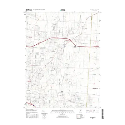
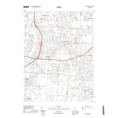
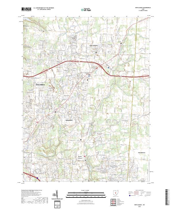 2023 New Albany2023 Print · USGSFranklin and Licking counties are captured in the present day as suburban growth meets central Ohio’s historic watercourses. Researchers can locate ancestral burial sites at Maplewood Cem and Burnside Cem or trace the path of Rocky Fork Creek past Havens Corners.
 - 2023 Map of Northeast Columbus, 2023 Print
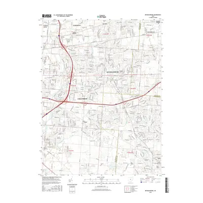
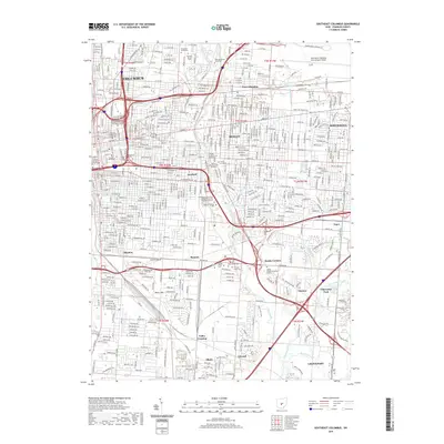
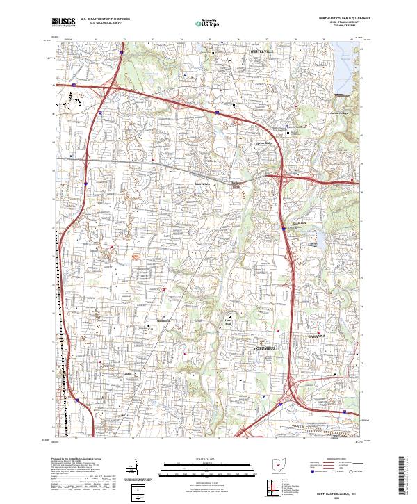 2023 Northeast Columbus2023 Print · USGSNortheast Franklin County comes to life in this contemporary survey of the suburban transition between Westerville and Gahanna. Local historians can trace cemetery locations like Otterbein Cem and Mifflin Cem or follow the winding paths of Alum Creek and Big Walnut Creek.
End of results
Showing maps 1-20 of 20
Top cities near Mifflin Township
- Columbus historical maps
- Dublin historical maps
- Delaware historical maps
- Westerville historical maps
- Hilliard historical maps
- Upper Arlington historical maps
See more
Top neighborhoods of Mifflin Township
Frequently asked questions
- What are the different types of historical maps available for Mifflin Township?
- What is the oldest map of Mifflin Township?
- Where can I purchase historical maps of Mifflin Township for my home or office?
- Where can I download high-res historical maps of Mifflin Township?
- Are there historical topographic maps available for Mifflin Township?
- Is there historical aerial imagery available for Mifflin Township?
- Where are historical maps of Mifflin Township sourced from?