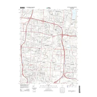
2013 Map of Northeast Columbus
USGS Topo · Published 2013About this map
Westerville and Gahanna frame this portrait of suburban and industrial development in northeast Franklin County. The landscape is defined by the corridors of Alum Creek and Big Walnut Creek, which run parallel to the intensifying road networks of the early 21st century. To the south, the massive footprint of the Port Columbus International Airport stands as a primary economic hub, while localized settlements like Huber Ridge, Minerva Park, and East Linden show the dense residential infill of the Columbus metropolitan area.
Find a feature on this map
66 named features on this map. Tap any name to fly to it.
Don’t see what you’re looking for? This feature index may not catch every label — zoom into the map to look around manually.
Map Details
Editions of this 2013 Northeast Columbus Map
This is the sole edition of this map. No revisions or reprints were ever made.
Other maps of this area

1901 · Dublin
USGS Topo · 1:62,500

1902 · Westerville
USGS Topo · 1:62,500

1903 · Dublin
USGS Topo · 1:62,500

1904 · Westerville
USGS Topo · 1:62,500

1923 · West Columbus
USGS Topo · 1:62,500

1925 · East Columbus
USGS Topo · 1:62,500

1925 · West Columbus
USGS Topo · 1:62,500

1943 · East Columbus
USGS Topo · 1:62,500

1947 · Columbus
USGS Topo · 1:250,000

1950 · Marion
USGS Topo · 1:250,000