Old Maps of Mount Auburn, Cincinnati for Hiking & Exploration
Hike through history with 29 historic maps of Mount Auburn. Explore old trails, ghost towns, and forgotten backroads — perfect for outdoor adventurers and local explorers.
- Rediscover forgotten places: Map out old mining camps, roads, and footpaths that no longer exist on modern maps.
- Layer with modern tools: Combine with LiDAR or satellite views to plan hikes through historical terrain.
- Made for exploration: Popular among hikers, overlanders, and local history lovers.
Use these maps to find adventure and explore the hidden past of Mount Auburn.
Mount Auburn, Cincinnati maps
(29)- 1898 Map of East Cincinnati, 1964 Print
 1898 East Cincinnati1964 Print · USGSGreater Cincinnati and Northern Kentucky emerge as a bustling riverfront and rail hub at the turn of the century. Genealogists and historians can trace the early footprints of Coney Island Resort, the Longview Asylum, and the Cincinnati Waterworks.
 - 1914 Map of East Cincinnati
 1914 East Cincinnati1914 Print · USGSThe eastern Cincinnati suburbs and Northern Kentucky riverfront come alive in this pre-war survey of industrial and residential growth. Genealogists can trace family footprints near the St Aloysius Orphan Asylum, Alpine Bell School, or the Covington Reservoirs.4 unique versions available
 - 1914 Map of West Cincinnati
 1914 West Cincinnati1914 Print · USGSCincinnati and the Ohio River valley appear here in a period of intense industrial growth and suburban expansion just before the First World War. Researchers can trace the dense rail networks of the Chesapeake and Ohio or locate early institutions like the Ohio Military Institute and Spring Grove Cemetery.4 unique versions available
 - 1950 Map of Covington, 1953 Print
 1950 Covington1953 Print · USGSNorthern Kentucky's riverfront and southern suburbs are captured here at the mid-century mark as neighborhoods expanded along the Dixie Highway. Genealogists and historians can trace family plots in Highland Cem or locate community landmarks like the Villa Madonna and Dixie Heights High Sch.
 - 1953 Map of Cincinnati East, 1955 Print
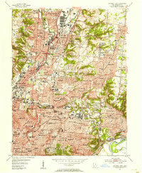 1953 Cincinnati East1955 Print · USGSCincinnati and its growing eastern suburbs are captured in the early fifties, showcasing a dense urban landscape of industry and education. Genealogists can locate family names at St Marys Cem or trace early school years at Withrow High Sch and St Xavier Sch.
 - 1953 Map of Cincinnati West, 1955 Print
 1953 Cincinnati West1955 Print · USGSThe western hills and industrial valleys of Cincinnati are captured here in the early fifties as neighborhoods expanded toward the county line. Researchers can locate specialized sites like the Clovernook Blind Home, trace rail lines through Ivorydale, or find family names at Wesleyan Cem.
 - 1953 Map of Cincinnati, 1965 Print
 1953 Cincinnati1965 Print · USGSThe Ohio River valley and the industrial heartland of Indiana and Ohio are captured here during the mid-century peak of rail and river commerce. Genealogists and historians can trace connections between Cincinnati and outlying military sites like Camp Atterbury and Bakalar AFB.3 unique versions available
 - 1955 Map of Covington, 1957 Print
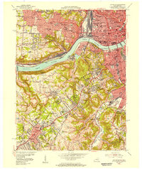 1955 Covington1957 Print · USGSGreater Cincinnati and Northern Kentucky come alive in this mid-fifties survey of the bustling riverfront and its growing suburbs. Researchers can trace historical church parishes and schools like St Marys Hosp, St Johns Cem, and Villa Madonna Academy across the river valley.
 - 1957 Map of Cincinnati
 1957 Cincinnati1957 Print · USGSThe Ohio River valley and its surrounding highlands thrived during the mid-fifties industrial peak, centered on the bustling Cincinnati and Dayton metropolitan hubs. Researchers can trace the extensive rail networks and military sites like Wright-Patterson AFB and Camp Atterbury.
 - 1961 Map of Cincinnati West, 1963 Print
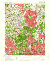 1961 Cincinnati West1963 Print · USGSGreater Cincinnati was rapidly expanding into northern Hamilton County in the early sixties as new subdivisions began to fill the valleys. Genealogists and historians can locate numerous landmarks like Arlington Memorial Gardens Cemetery, St Josephs Orphanage, and the grounds of McAuley High Sch.6 unique versions available
 - 1961 Map of Covington, 1963 Print
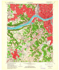 1961 Covington1963 Print · USGSThe Ohio River corridor comes alive in the early sixties as industrial centers and hillside neighborhoods bridge the state line. Genealogists and historians can trace St Josephs Cemetery, find the St Johns Orphanage, or locate the Anderson Ferry crossing.3 unique versions available
 - 1961 Map of Cincinnati East, 1963 Print
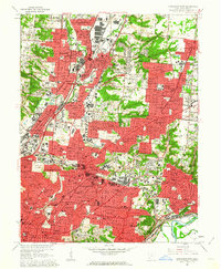 1961 Cincinnati East1963 Print · USGSGreater Cincinnati was entering a period of significant suburban expansion in the early sixties as industrial valleys met growing residential tracts. Researchers can trace family roots through numerous parish schools and sites like St Marys Cemetery, the University of Cincinnati Observatory, and the Baltimore and Ohio Railroad lines.6 unique versions available
 - 1981 Map of Covington
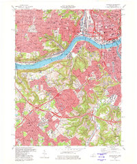 1981 Covington1981 Print · USGSNorthern Kentucky and Cincinnati meet along the river in the early eighties as suburban communities expand into the hills. Trace the development of Villa Hills and Fort Wright, or locate family sites at Highland Cemetery and Linden Grove Cem.2 unique versions available
 - 1986 Map of Cincinnati
 1986 Cincinnati1986 Print · USGSGreater Cincinnati and its tri-state surrounds are captured here in the mid-eighties as suburban growth reached into the neighboring hills and river valleys. Researchers can trace the development of transit hubs like Greater Cincinnati International Airport and historic sites such as Spring Grove Cemetery.3 unique versions available
 - 2010 Map of Cincinnati East, 2010 Print
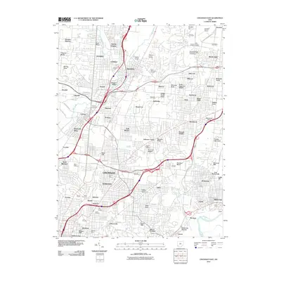 2010 Cincinnati East2010 Print · USGSCincinnati and its eastern suburbs are shown here in the first decade of the millennium, following the valley of Mill Creek through established urban neighborhoods. Researchers can locate family roots at Reading Lockland Cemetery, Saint Marys Cemetery, or the Xavier University campus.
 - 2010 Map of Covington, 2010 Print
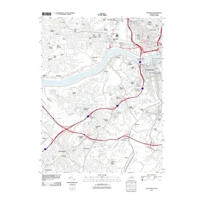 2010 Covington2010 Print · USGSThe Ohio and Licking rivers meet at the heart of this metropolitan corridor during the early twenty-first century. Researchers can trace neighborhood development from Over-The-Rhine to Lakeside Park, locating historic burial sites like Potters Field and the Highland Cemetery.
 - 2010 Map of Cincinnati West, 2010 Print
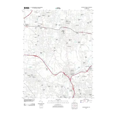 2010 Cincinnati West2010 Print · USGSThe western suburbs of Cincinnati are shown during a period of established residential growth. Researchers can locate numerous local landmarks and family heritage sites, from the Abbe Meteorological Observatory to Saint Johns German Catholic Cemetery and Wesleyan Cemetery.
 - 2013 Map of Covington, 2013 Print
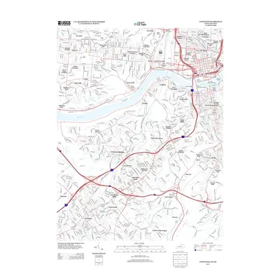 2013 Covington2013 Print · USGSThe riverfront and urban neighborhoods of the tri-state area are shown in detail during the early 2010s. Researchers can locate family sites at Saint Josephs Cem or trace crossings like the John A Roebling Bridge and the historic Anderson Ferry.
 - 2013 Map of Cincinnati East, 2013 Print
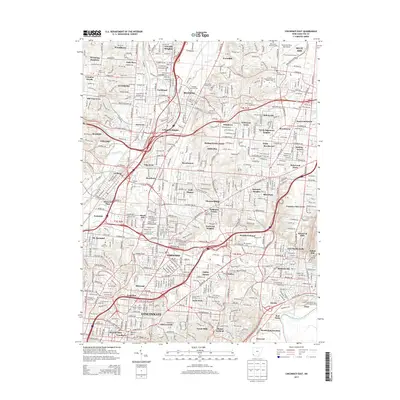 2013 Cincinnati East2013 Print · USGSGreater Cincinnati in the early 2010s reveals a complex urban landscape where historic cemeteries and modern universities meet along the Mill Creek corridor. Genealogists and locals can trace landmarks like Reading Lockland Cem, Xavier Univ, and the neighborhoods of Blue Ash or Wyoming.
 - 2013 Map of Cincinnati West, 2013 Print
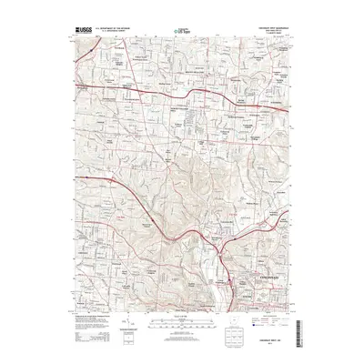 2013 Cincinnati West2013 Print · USGSCincinnati and its northwestern suburbs are shown in high detail during the early twenty-first century. Researchers can trace family history through extensive burial sites like Spring Grove Cem and Wesleyan Cem or locate the Univ of Cincinnati-Main Campus.
 - 2016 Map of Covington, 2016 Print
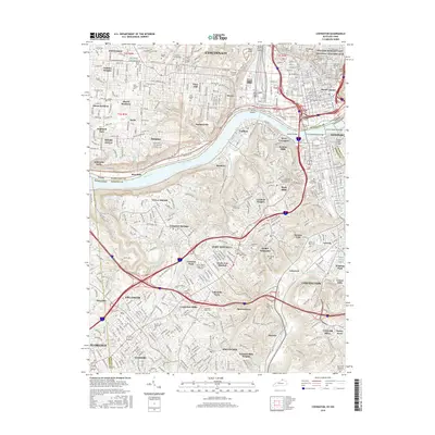 2016 Covington2016 Print · USGSThe metropolitan border of Ohio and Kentucky is captured here in the mid-2010s, showing the dense urban connectivity across the Ohio River. Genealogists and historians can trace family plots and landmarks at Linden Grove Cem, Anderson Ferry, and the William Howard Taft National Historic Site.
 - 2016 Map of Cincinnati East, 2016 Print
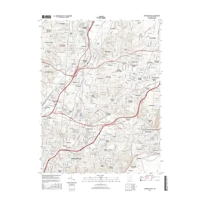 2016 Cincinnati East2016 Print · USGSGreater Cincinnati in the mid-2010s reveals a mature landscape of independent towns and diverse residential enclaves. Genealogists and historians can trace property lines near Xavier Univ or locate ancestral sites at Rest Haven Memorial Park and Mount Notre Dame Cem.
 - 2016 Map of Cincinnati West, 2016 Print
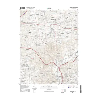 2016 Cincinnati West2016 Print · USGSCincinnati’s western suburbs and the Mill Creek valley are shown here in the mid-2010s, capturing a landscape of dense neighborhoods and historic institutions. Researchers can locate family sites at Spring Grove Cem or trace the grounds of the Univ of Cincinnati-Main Campus.
 - 2019 Map of Covington, 2019 Print
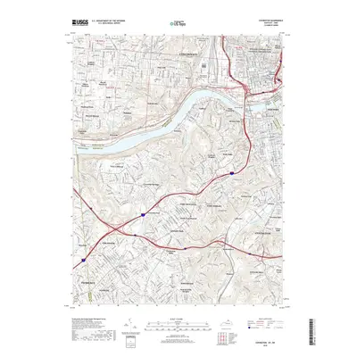 2019 Covington2019 Print · USGSGreater Cincinnati and Northern Kentucky are shown at a peak of modern development along the Ohio River in the late 2010s. Researchers can locate dozens of historic burial sites like Linden Grove Cem and the Price Hill Cemeteries, alongside the legendary John A Roebling Bridge.
 - 2019 Map of Cincinnati West, 2019 Print
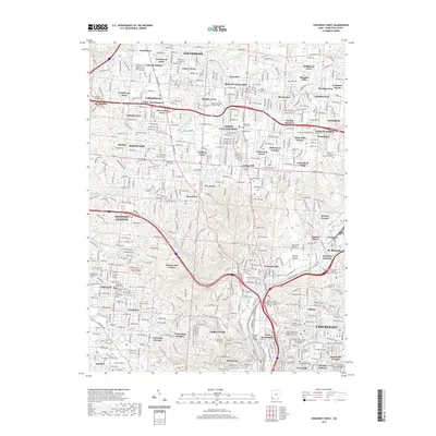 2019 Cincinnati West2019 Print · USGSCincinnati’s western neighborhoods and northern suburbs are shown here in the late twenty-tens, capturing a landscape of deep-rooted communities and vast historic grounds. Genealogists can locate family sites across Spring Grove Cem and Arboretum, Vine Street Hill Cem, and the venerable Mount Pleasant Cem.
Showing maps 1-25 of 29
Frequently asked questions
- What are the different types of historical maps available for Mount Auburn?
- What is the oldest map of Mount Auburn?
- Where can I purchase historical maps of Mount Auburn for my home or office?
- Where can I download high-res historical maps of Mount Auburn?
- Are there historical topographic maps available for Mount Auburn?
- Is there historical aerial imagery available for Mount Auburn?
- Where are historical maps of Mount Auburn sourced from?