2000s (21st Century) Maps of Green Township, Ohio
Explore 20 historic maps of Green Township from the 2000s (21st Century). These maps offer a rare glimpse into what life looked like during the 2000s — showing old roads, neighborhoods, homes, and landmarks that have changed or disappeared over time.
Whether you're researching your family's past, planning a metal detecting trip, or studying how Green Township's landscape evolved across the 2000s, these high-resolution maps are a powerful tool for exploring the history of this region.
- Focus on a specific era: All maps on this page are from the 2000s, giving you a focused view of this time period.
- See what’s changed: Compare century-old streets, trails, and buildings to today's modern landscape using overlays and satellite layers.
- Research with precision: Use these maps for genealogy, historical research, land use analysis, or educational projects.
- View, download, or print: Maps are fully viewable online in high resolution, and can be downloaded or printed for your own records.
Start exploring Green Township's history through authentic maps from the 2000s. This is your window into the past.
Green Township, OH maps
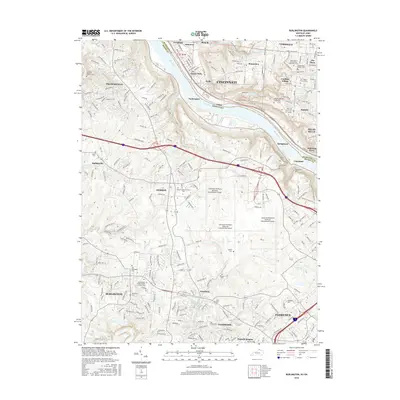
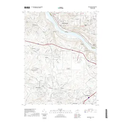
(20)- 2010 Map of Burlington, 2010 Print
 2010 Burlington2010 Print · USGSCovers Green Township, including Cincinnati, Florence, and other nearby areas
 - 2010 Map of Covington, 2010 Print
 2010 Covington2010 Print · USGSCovers Green Township, including Cincinnati, Covington, and other nearby areas
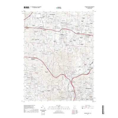
 - 2010 Map of Cincinnati West, 2010 Print
 2010 Cincinnati West2010 Print · USGSCovers Green Township, including Cincinnati, North College Hill, and other nearby areas
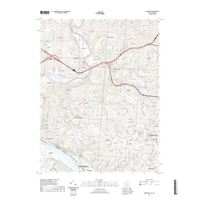
 - 2010 Map of Addyston, 2010 Print
 2010 Addyston2010 Print · USGSCovers Green Township, including Cincinnati, Cheviot, and other nearby areas
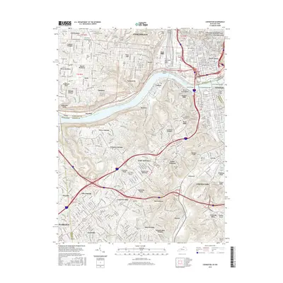
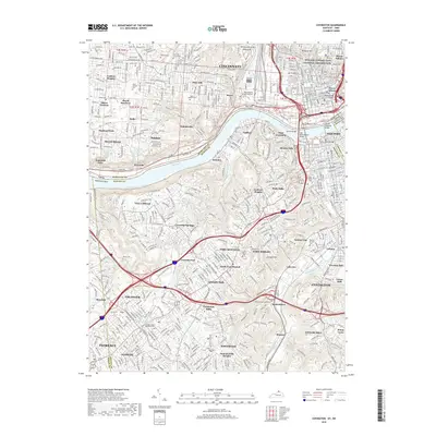
 - 2013 Map of Covington, 2013 Print
 2013 Covington2013 Print · USGSCovers Green Township, including Cincinnati, Covington, and other nearby areas
 - 2013 Map of Burlington, 2013 Print
 2013 Burlington2013 Print · USGSCovers Green Township, including Cincinnati, Florence, and other nearby areas
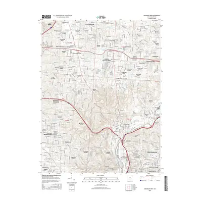
 - 2013 Map of Cincinnati West, 2013 Print
 2013 Cincinnati West2013 Print · USGSCovers Green Township, including Cincinnati, North College Hill, and other nearby areas
 - 2013 Map of Addyston, 2013 Print
 2013 Addyston2013 Print · USGSCovers Green Township, including Cincinnati, Cheviot, and other nearby areas
 - 2016 Map of Burlington, 2016 Print
 2016 Burlington2016 Print · USGSCovers Green Township, including Cincinnati, Florence, and other nearby areas
 - 2016 Map of Covington, 2016 Print
 2016 Covington2016 Print · USGSCovers Green Township, including Cincinnati, Covington, and other nearby areas
 - 2016 Map of Cincinnati West, 2016 Print
 2016 Cincinnati West2016 Print · USGSCovers Green Township, including Cincinnati, North College Hill, and other nearby areas
 - 2016 Map of Addyston, 2016 Print
 2016 Addyston2016 Print · USGSCovers Green Township, including Cincinnati, Cheviot, and other nearby areas
 - 2019 Map of Burlington, 2019 Print
 2019 Burlington2019 Print · USGSCovers Green Township, including Cincinnati, Florence, and other nearby areas
 - 2019 Map of Covington, 2019 Print
 2019 Covington2019 Print · USGSCovers Green Township, including Cincinnati, Covington, and other nearby areas
 - 2019 Map of Cincinnati West, 2019 Print
 2019 Cincinnati West2019 Print · USGSCovers Green Township, including Cincinnati, North College Hill, and other nearby areas
 - 2019 Map of Addyston, 2019 Print
 2019 Addyston2019 Print · USGSCovers Green Township, including Cincinnati, Cheviot, and other nearby areas
 - 2022 Map of Burlington, 2022 Print
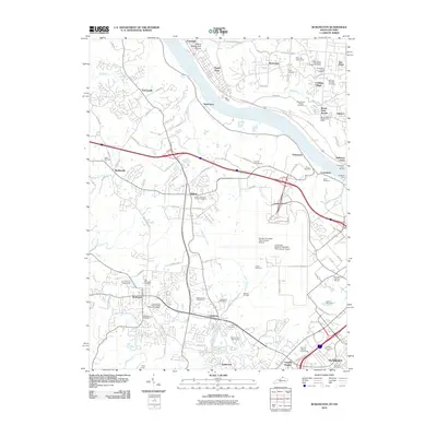
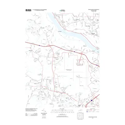
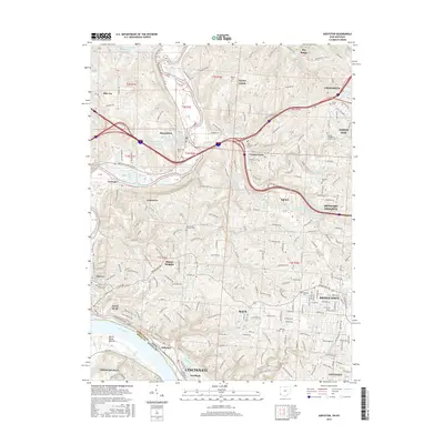
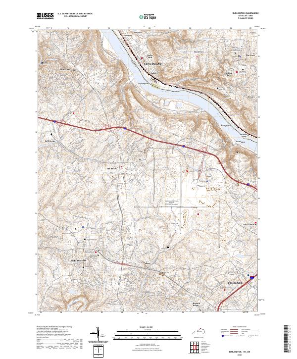 2022 Burlington2022 Print · USGSNorthern Kentucky and the Cincinnati riverfront are captured here in the early twenty-first century. Researchers can trace family sites at the Old Burlington Cem, Hebron Lutheran Church Cem, and the Boone County Justice Center.
 - 2022 Map of Covington, 2022 Print
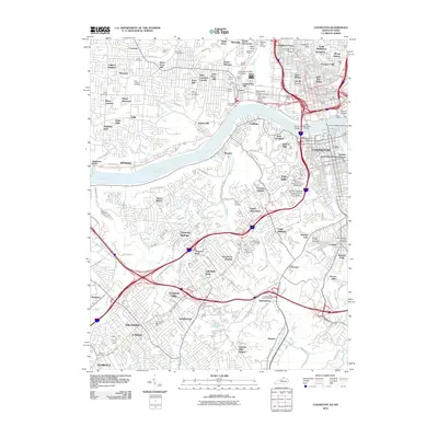
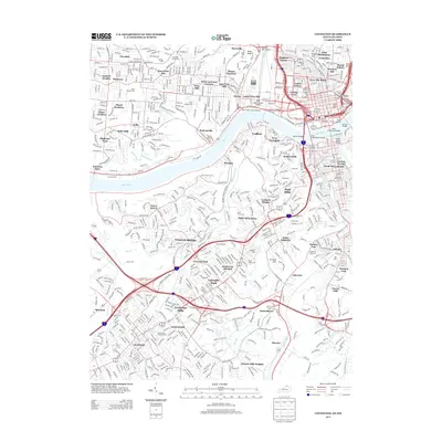
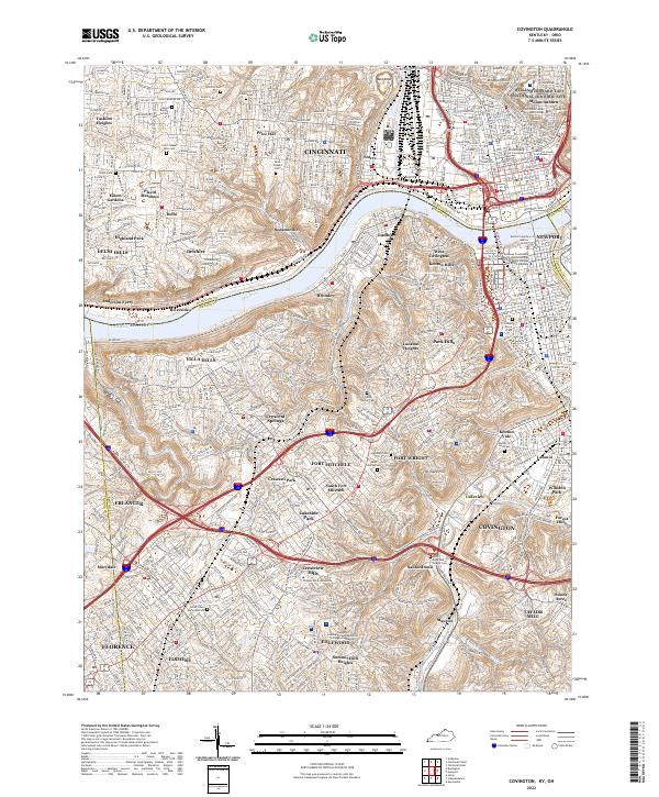 2022 Covington2022 Print · USGSNorthern Kentucky and Cincinnati meet along the Ohio River in this detailed survey of the 2020s. Trace your family roots through the Linden Grove Cem, visit the William Howard Taft National Historic Site, or locate the historic Anderson Ferry.
 - 2023 Map of Addyston, 2023 Print
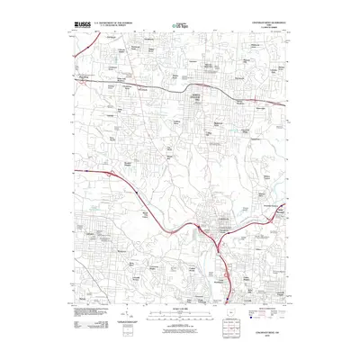
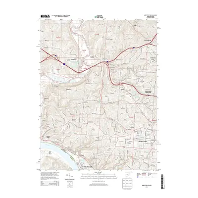
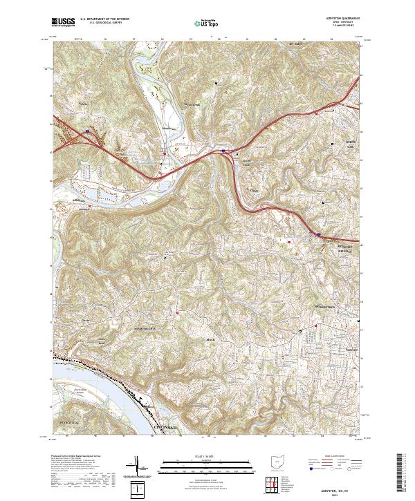 2023 Addyston2023 Print · USGSHamilton County's riverfront communities are captured here as they stand today, from the industrial banks of the Ohio River to the residential ridges. Researchers can locate numerous local burial sites including Miami Cem and Ebenezer Cem or trace the winding course of the Great Miami River.
 - 2023 Map of Cincinnati West, 2023 Print
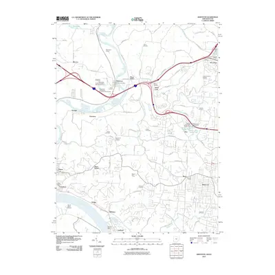
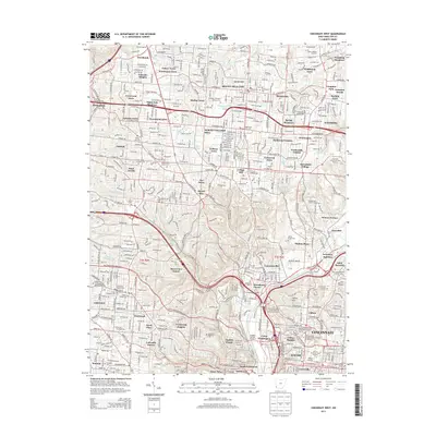
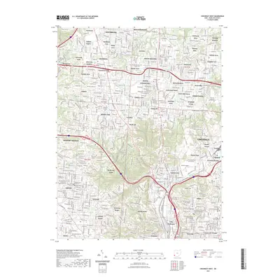 2023 Cincinnati West2023 Print · USGSCincinnati and its northern suburbs are shown here in the 2020s, revealing a dense urban landscape of hospitals, universities, and parks. Genealogists can trace family plots at Spring Grove Cem and Arboretum or find landmarks like the University of Cincinnati.
End of results
Showing maps 1-20 of 20
Top cities near Green Township
- Cincinnati historical maps
- Hamilton historical maps
- Fairfield historical maps
- Covington historical maps
- Florence historical maps
- Independence historical maps
See more
Top neighborhoods of Green Township
- Bridgetown historical maps
- Mack historical maps
- Monfort Heights historical maps
- Dent historical maps
- Summit historical maps
Frequently asked questions
- What are the different types of historical maps available for Green Township?
- What is the oldest map of Green Township?
- Where can I purchase historical maps of Green Township for my home or office?
- Where can I download high-res historical maps of Green Township?
- Are there historical topographic maps available for Green Township?
- Is there historical aerial imagery available for Green Township?
- Where are historical maps of Green Township sourced from?